

State after state, road after road, and most of them will outlast your tires before they bore you. Some reward you with ocean salt in your visor. Others make you fight for every switchback at altitude, where the air thins out and so does your nerve. Nobody tells you this, but the famous road isn’t always the right one, and timing beats horsepower every time. Ride Going-to-the-Sun in June and you’ll hit a snow gate. Hit the Dragon’s cousin in Texas on a holiday weekend and you’ll smell more brake pads than sagebrush. Here are the ones worth the detour, with the stops and the fine print.
Please note that some of the images in this article were created with the assistance of AI.
43. California, Pacific Coast Highway Through Big Sur
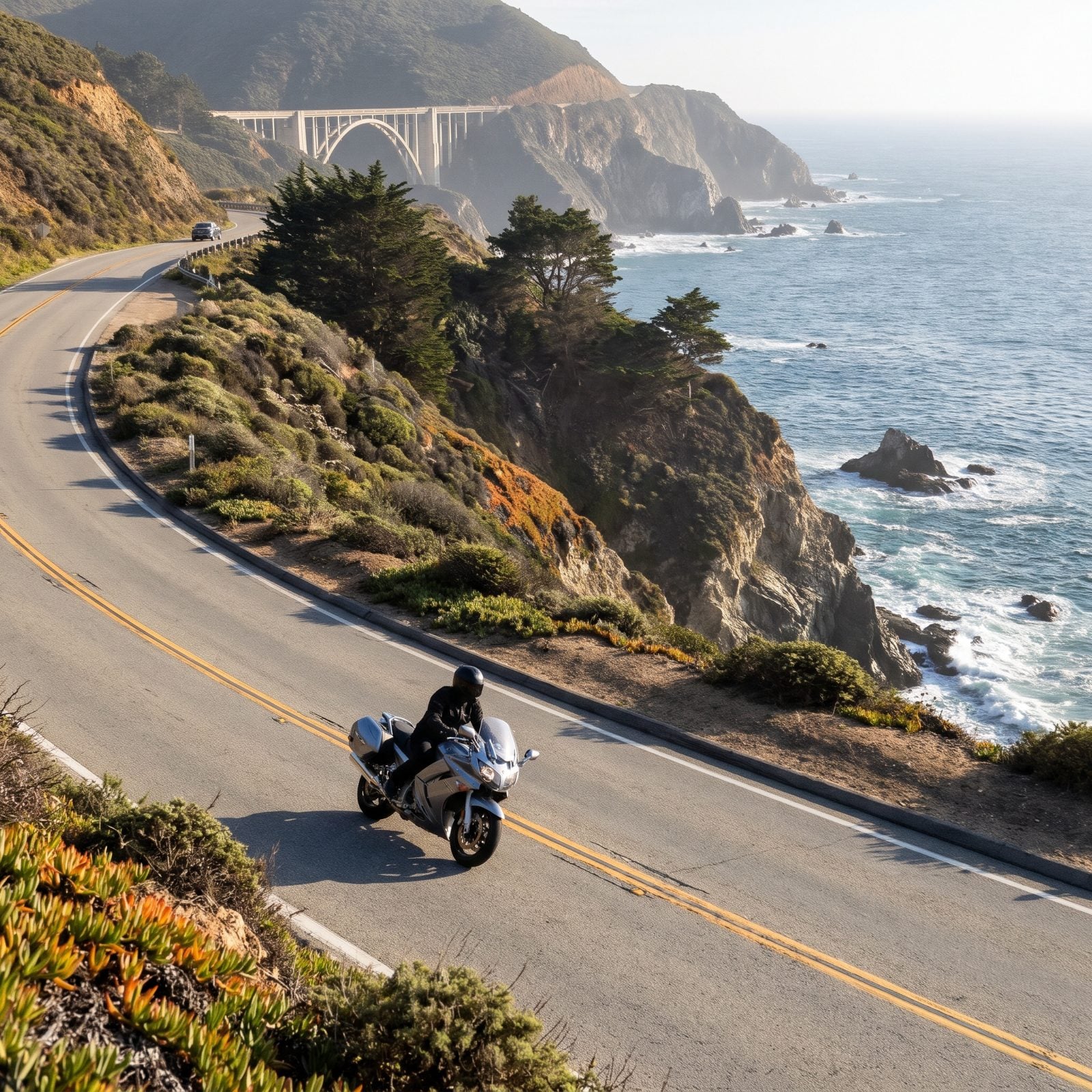
Big Sur is the stretch everybody pictures and most people ride wrong. They treat it like a racetrack and spend the whole run passing on blind curves, missing why they came. What they came for is the Bixby Creek Bridge pullout, the fog burning off the water around late morning, and the smell of eucalyptus mixing with salt.
Ride it north to south so the ocean’s on your right and you’re not crossing traffic to reach the overlooks. Fuel up in Carmel or Cambria. There’s almost nothing in between, and the gaps are long.
42. Colorado, The Million Dollar Highway From Silverton to Ouray
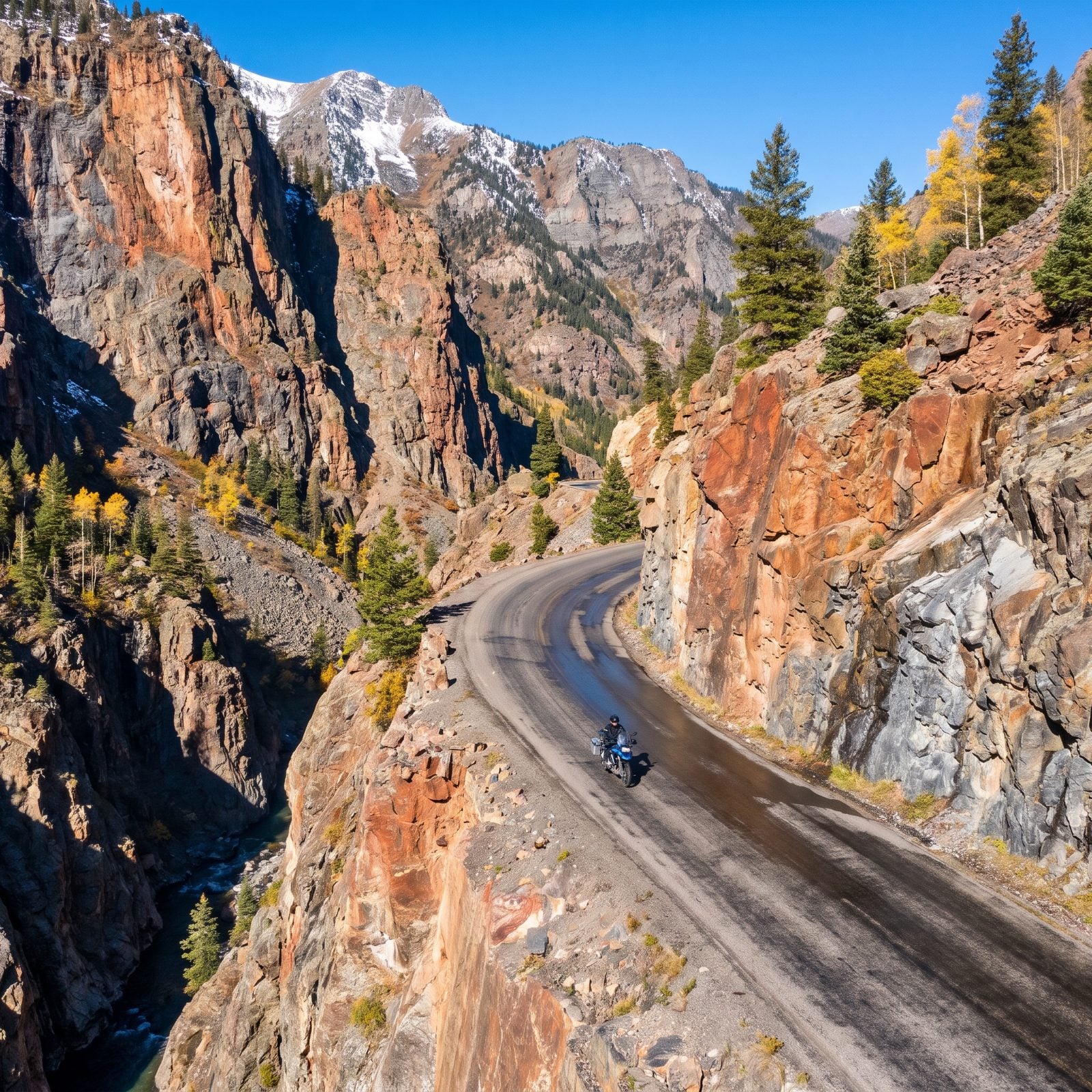
No guardrails. That’s the first thing you notice on the stretch above Ouray, and it recalibrates how you ride in about thirty seconds. The drop-offs are real, the lane is narrow, and in a few spots they cut the road straight into the cliff face.
This is the crown jewel of the San Juan Skyway, climbing over 11,000 feet at Red Mountain Pass. Go slow. The views are the reward, not the lap time. Stop in Silverton for coffee in a town that still looks like 1890, then in Ouray soak in the hot springs once your hands have had enough of the cold descent.
41. Montana, Going-to-the-Sun Road Across Glacier National Park
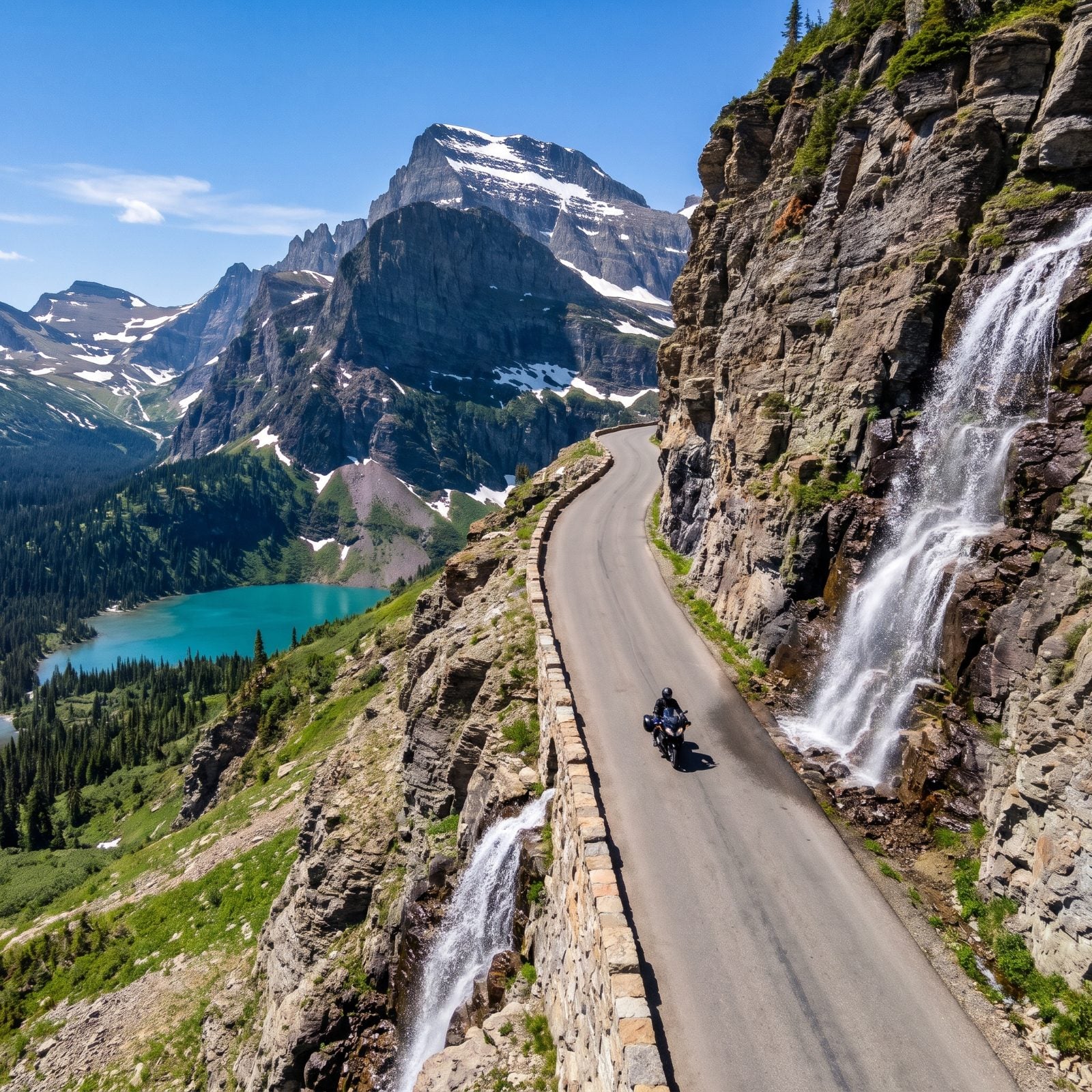
You can’t just show up and ride this one. Glacier runs a timed-entry vehicle reservation system on Going-to-the-Sun during peak season, and the full road only opens after plows clear Logan Pass, usually late June or into July. Show up earlier and you hit a gate.
Once it’s open, nothing in the lower 48 beats it for alpine riding. The road climbs to the Continental Divide at Logan Pass with waterfalls spilling onto the pavement, and the Weeping Wall will soak your right shoulder if you ride close.
40. Utah, Scenic Byway 12 Through Red Rock Country
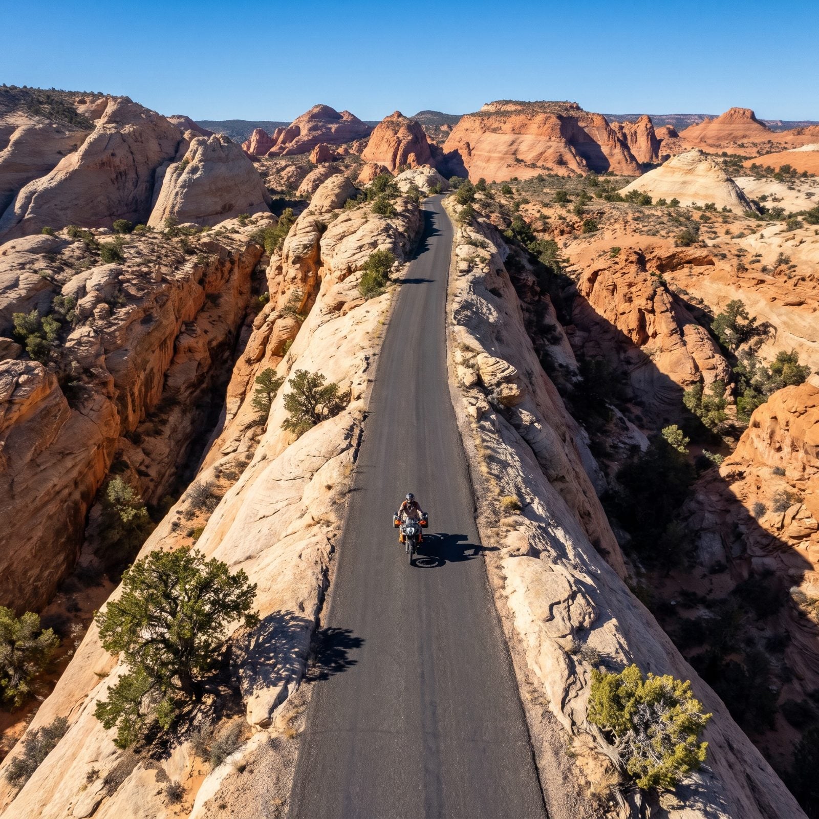
The Hogback is the part your friends will ask about. A section of Byway 12 near Boulder runs along the crest of a narrow slickrock ridge with the sandstone dropping away into deep canyons on both sides, no shoulder to speak of, just you and a ribbon of asphalt balanced on a spine of rock.
The byway links Bryce Canyon to Capitol Reef through some of the strangest terrain in America. Stop at Kiva Koffeehouse perched on the canyon rim, ride through the dark timber of Boulder Mountain, and gas up wherever you can. Services are thin and the sun is relentless, so carry water even on a day ride.
39. Alaska, The Seward Highway From Anchorage to Seward
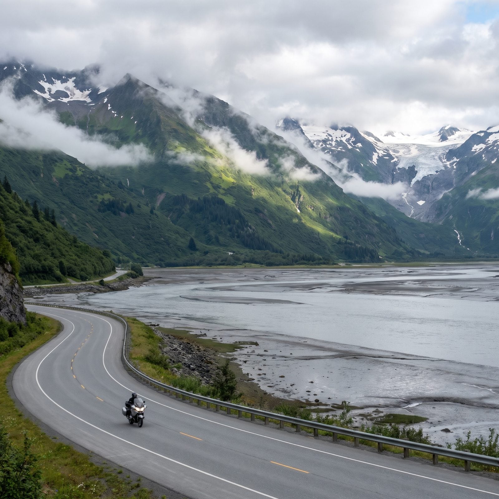
Riding season up here is short and the weather does what it wants. The Seward Highway hugs Turnagain Arm south of Anchorage, where the tide swings dozens of feet and beluga whales sometimes turn up in the inlet below the road.
Watch for Dall sheep on the cliffs near Windy Corner and for rain that arrives sideways. Stop in Girdwood, ride out to Portage Glacier, and give yourself the whole day. This is one of the few roads where you might share the shoulder with a moose and mean it literally.
38. Hawaii, The Road to Hana on Maui
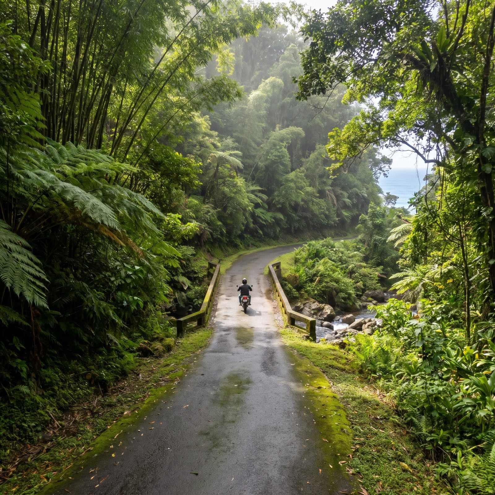
Forget speed entirely. The Road to Hana is hundreds of curves and dozens of one-lane bridges, and the whole exercise is about going slow enough to actually see it. People who rush it miss everything and annoy the locals who use this road to get to work.
Waterfalls, black sand at Wai’anapanapa, bamboo forest, roadside banana bread stands run out of someone’s garage. The pavement stays damp under the canopy, so a dry road here is still a slick road. Start early to beat the tour vans, and know the real payoff is the ride, not arriving in the sleepy town of Hana itself.
37. Texas, The Twisted Sisters in the Hill Country
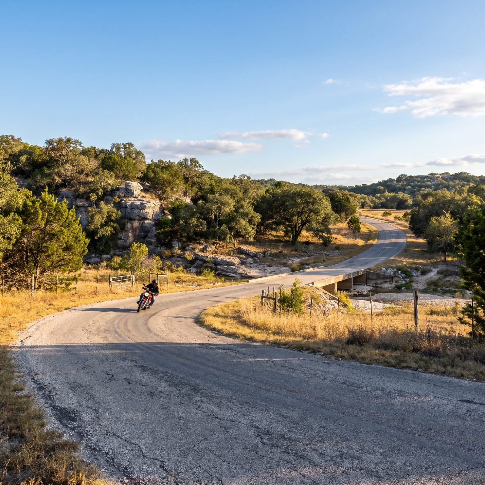
Ranch Roads 335, 336, and 337 west of Leakey are the three that make up the Twisted Sisters, and together they’re the closest thing Texas has to mountain riding. Tight, technical, blind rises, and dry creek crossings that’ll surprise you if you’re not watching.
The hub is the Frio Canyon Motorcycle Stop in Leakey, where riders gather and the parking lot tells you the day’s business. Watch for loose gravel, cattle, and deer, which are the real hazard out here. No fuel in the middle of the loop, so top off in Leakey or Vanderpool before you start.
36. New Hampshire, The Kancamagus Highway Through the White Mountains
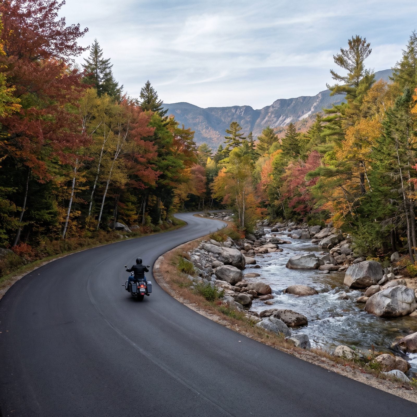
The Kanc, as everyone calls it, runs about 35 miles with no gas, no food, and no cell service for most of it, and that’s exactly why it’s good. Just forest, the Swift River, granite ledges, and the climb to Kancamagus Pass.
Everybody wants it in peak foliage, which is the catch. Late September into mid-October turns this road into a slow parade of leaf-peepers, and you’ll be stuck behind rented minivans braking at every pullout. Ride it on a weekday if you can.
35. Washington, The North Cascades Highway on State Route 20
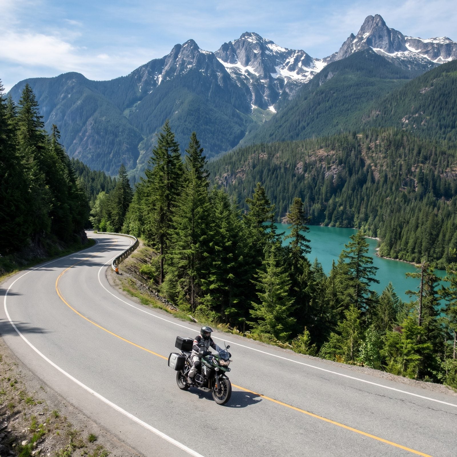
The color of Diablo Lake stops people mid-ride. It’s a milky turquoise, glacial rock flour suspended in the water, and the overlook on SR 20 hands you the full view with jagged peaks behind it.
This is the northernmost mountain crossing in the state, and the pass section buries itself in snow every winter, usually closed from late fall until spring. Washington Pass is the high point, with a short walk to an overlook worth stopping for. Services run sparse between Marblemount and Winthrop, so plan your fuel. Winthrop on the east end has an Old West main street and more sunshine than the wet side.
34. Idaho, Lolo Pass on US 12
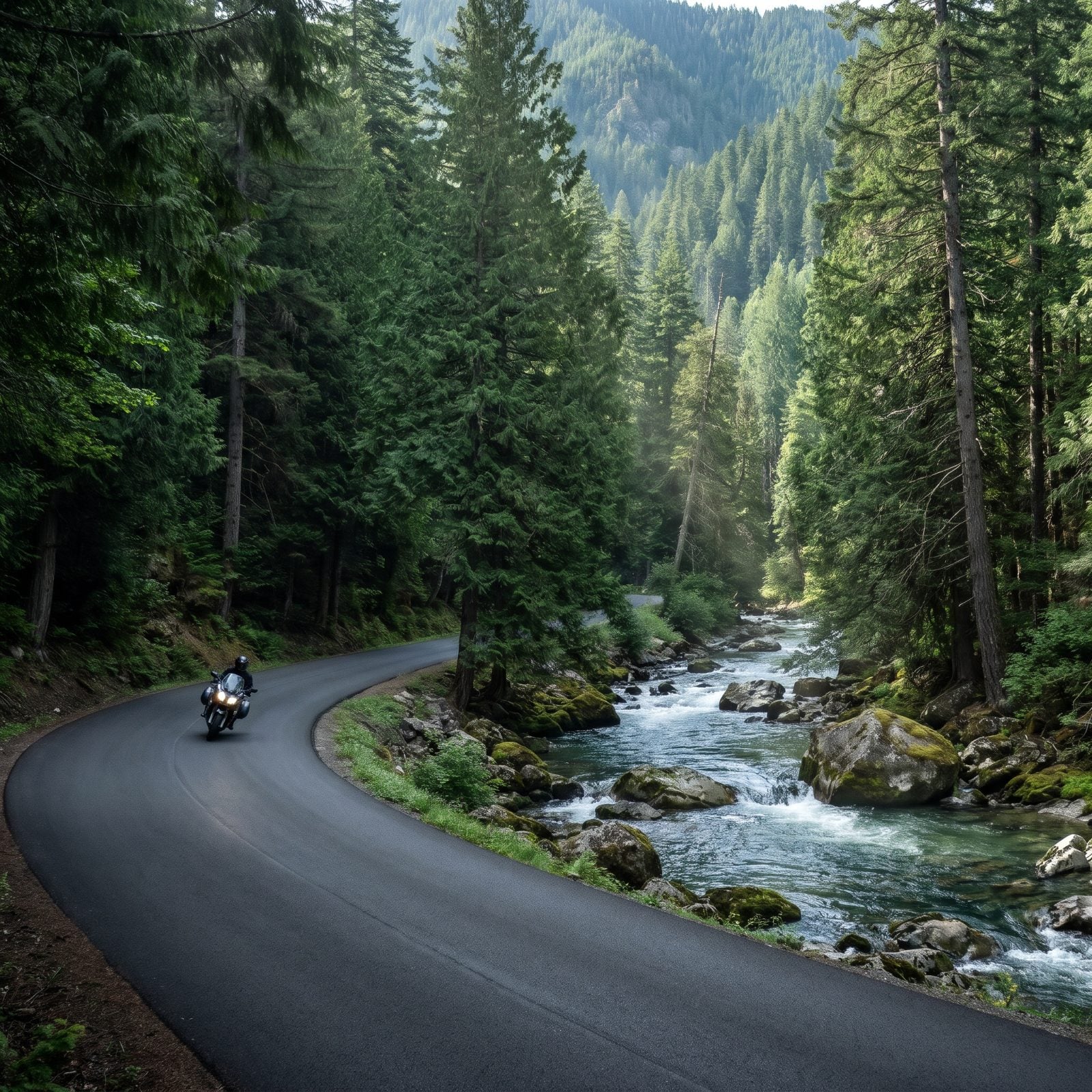
This is the one serious riders talk about in low voices. US 12 over Lolo Pass follows the Lochsa River for roughly 100 miles of flowing curves through wilderness, almost no services, and so little traffic you can hold a rhythm for an hour at a time.
Lewis and Clark came through here, and the country hasn’t changed much since. The catch is the emptiness. Fuel at Lowell on the Idaho side or you’re committed to a long run on fumes. Deer and elk cross at dawn and dusk, and loose gravel hides in the shaded bends. Ride it with a full tank and a clear head, and it’s the kind of road you build a whole trip around.
33. Arizona, The Coronado Trail Scenic Byway on US 191
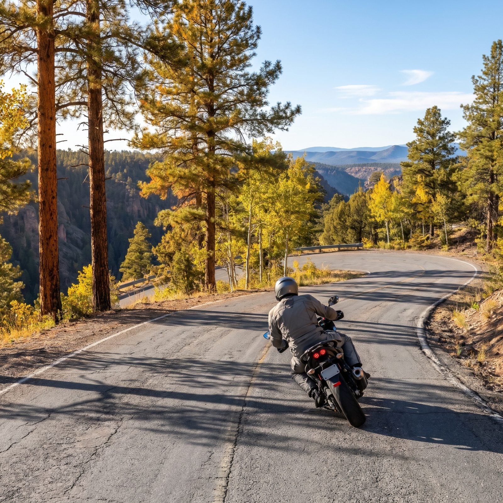
Everyone obsesses over the Tail of the Dragon and its famous curve count. Coronado Trail has more, strung over 120 miles, and you’ll mostly have them to yourself.
US 191 climbs from the desert near Clifton to over 9,000 feet, past the Morenci copper mine, up into pine and aspen. The curves pile up past the point of counting, and the guardrail disappears when you’d most want it. Ride this one tired and you’ll regret it.
Fuel up in Clifton or Alpine, because the middle stretch has almost nothing. No gas, no cell signal, nothing out there but switchbacks and the occasional elk standing in the lane like he owns it. He kind of does.
32. South Dakota, Needles Highway Through Custer State Park
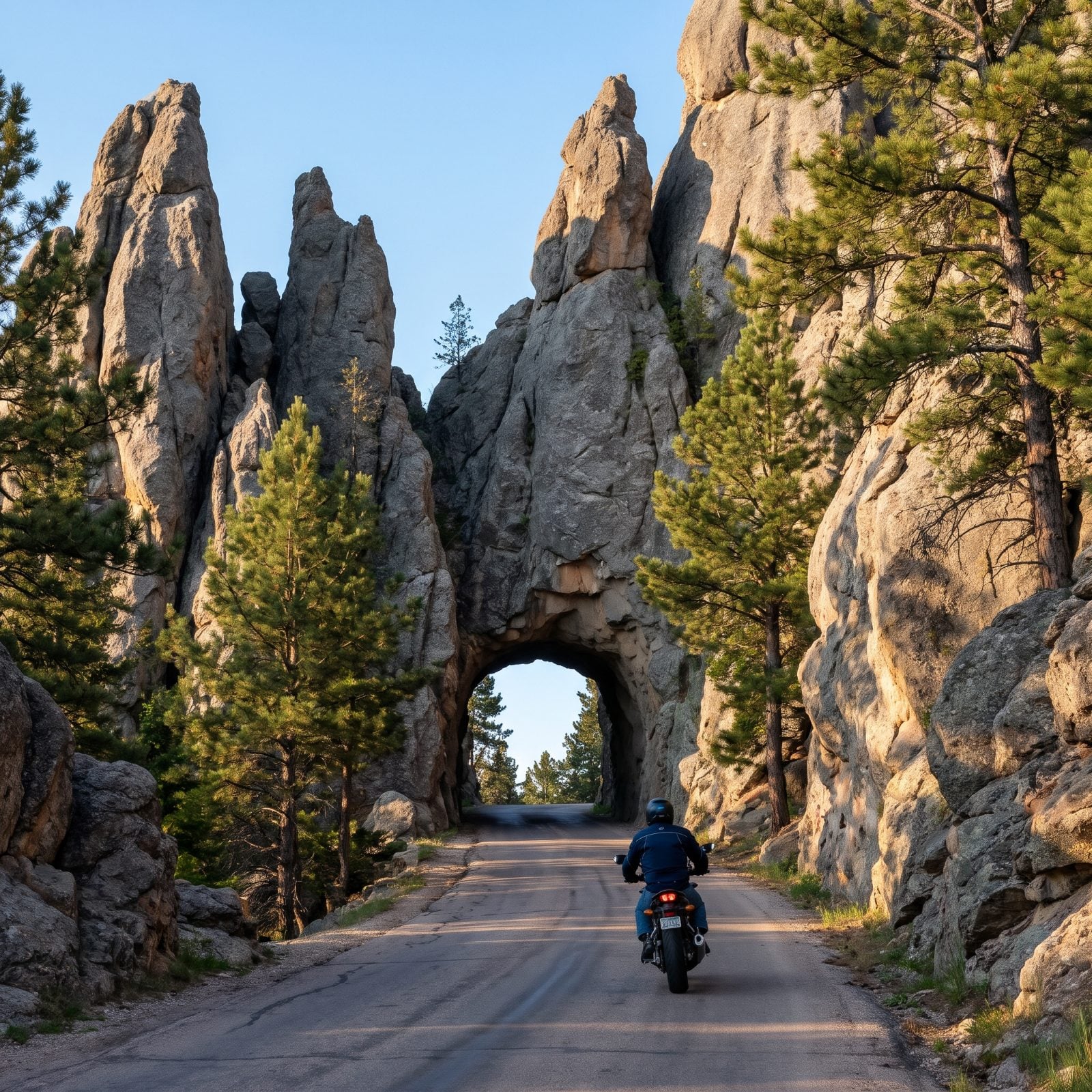
The tunnels are the whole trick here. Needles Eye Tunnel runs just over eight feet wide. On a bike that feels generous, but you still hold your breath a little when granite walls close in on both sides.
Fourteen miles of Route 87 wind through spires that look like something dripped and hardened. Count on slow going, because the hairpins are tight and RVs clog the narrow spots. There’s a park entry fee too, so check it before you go.
Link it to Iron Mountain Road and its pigtail bridges and you’ve got a morning worth planning a trip around. Those Mount Rushmore sightlines framed through the tunnels? Somebody planned that on purpose.
31. Tennessee, The Cherohala Skyway From Tellico Plains
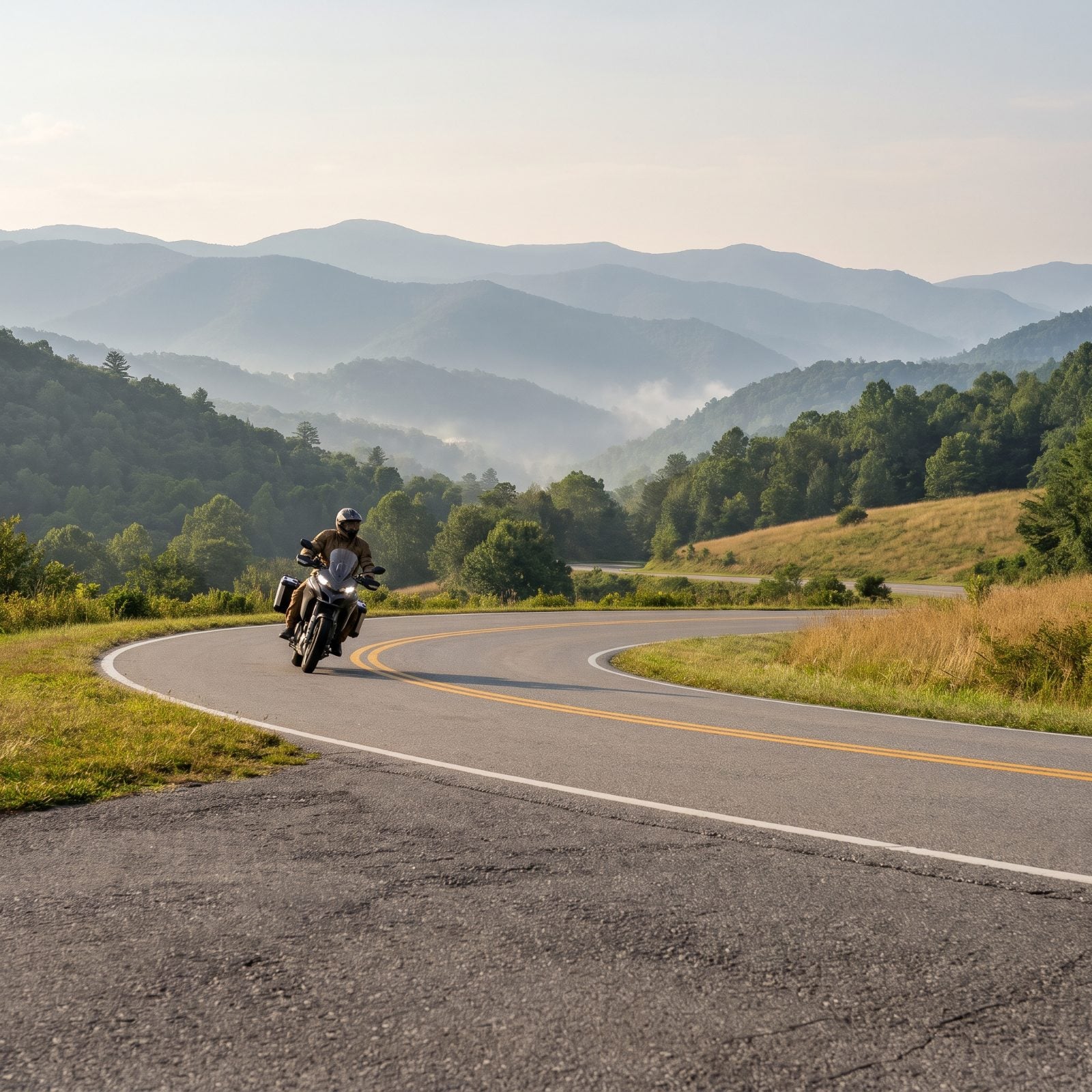
If the Dragon is a knife fight, the Cherohala is a long exhale.
Forty-three miles of wide, well-engineered curves run from Tellico Plains, Tennessee into Robbinsville, North Carolina, topping out above 5,000 feet. Good pavement, long sightlines. You can actually relax and watch the ridgeline go by instead of wrestling the road for every corner.
Here’s what people get wrong. They treat it as a side dish to the Tail of the Dragon and blow through. Slow down. Pull over at Santeetlah Overlook, walk a few steps, and let the view do its job.
30. Oregon, The McKenzie Pass, Santiam Pass Scenic Byway
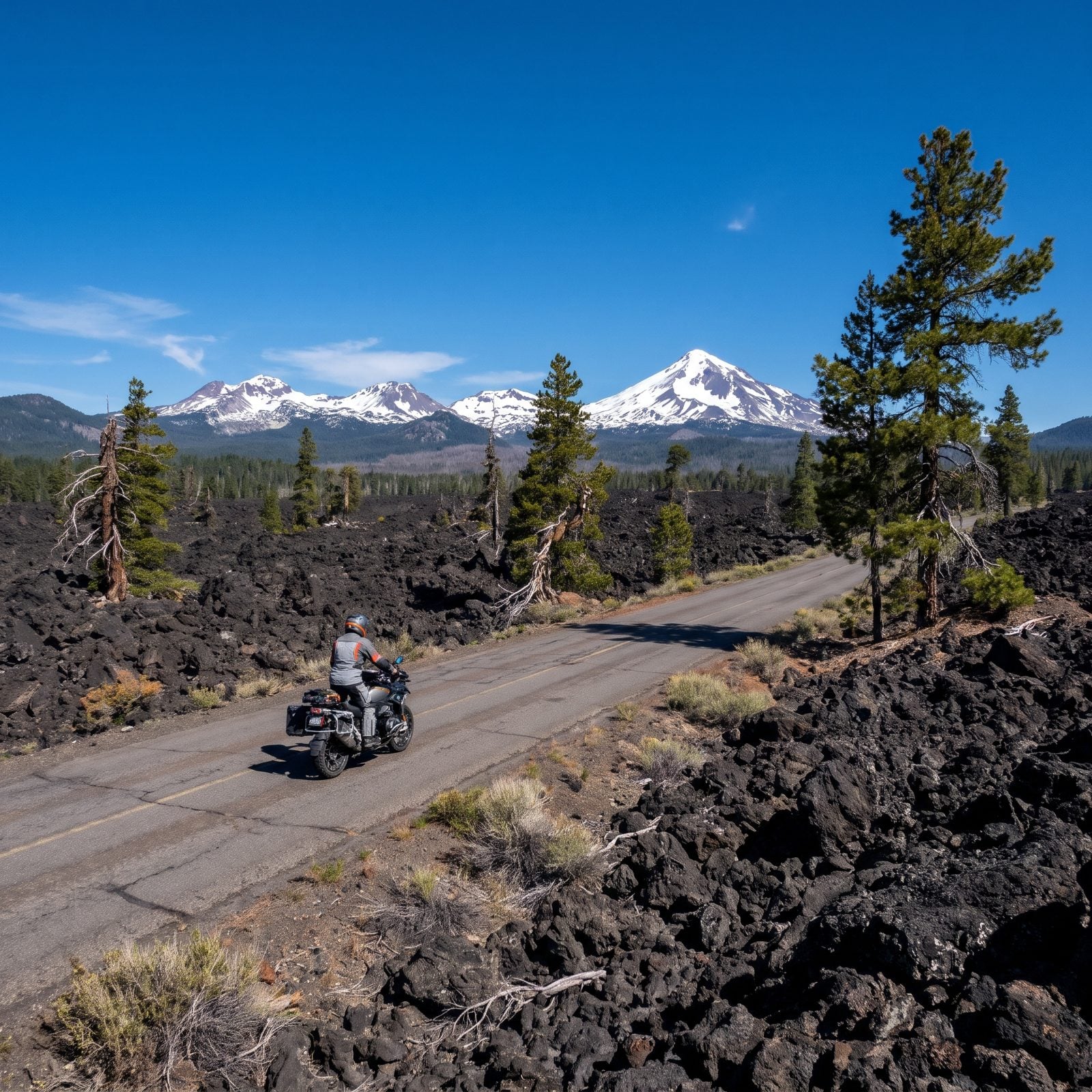
You ride out of dense old-growth forest and straight onto the surface of the moon. That’s the McKenzie Pass payoff.
Oregon Route 242 crosses miles of raw black lava at the Dee Wright Observatory, a stone shelter built from the very rock around it, with sightlines to the Three Sisters and Mount Washington. The road is old and barely wider than a driveway in spots. No trucks. No RVs. Just you and the twisties.
The catch is timing. ODOT keeps 242 gated and buried under snow most of the year, opening it around late June and closing it again with the first real snowfall. Check the gate status before you commit to the climb.
29. Florida, The Overseas Highway From Miami to Key West
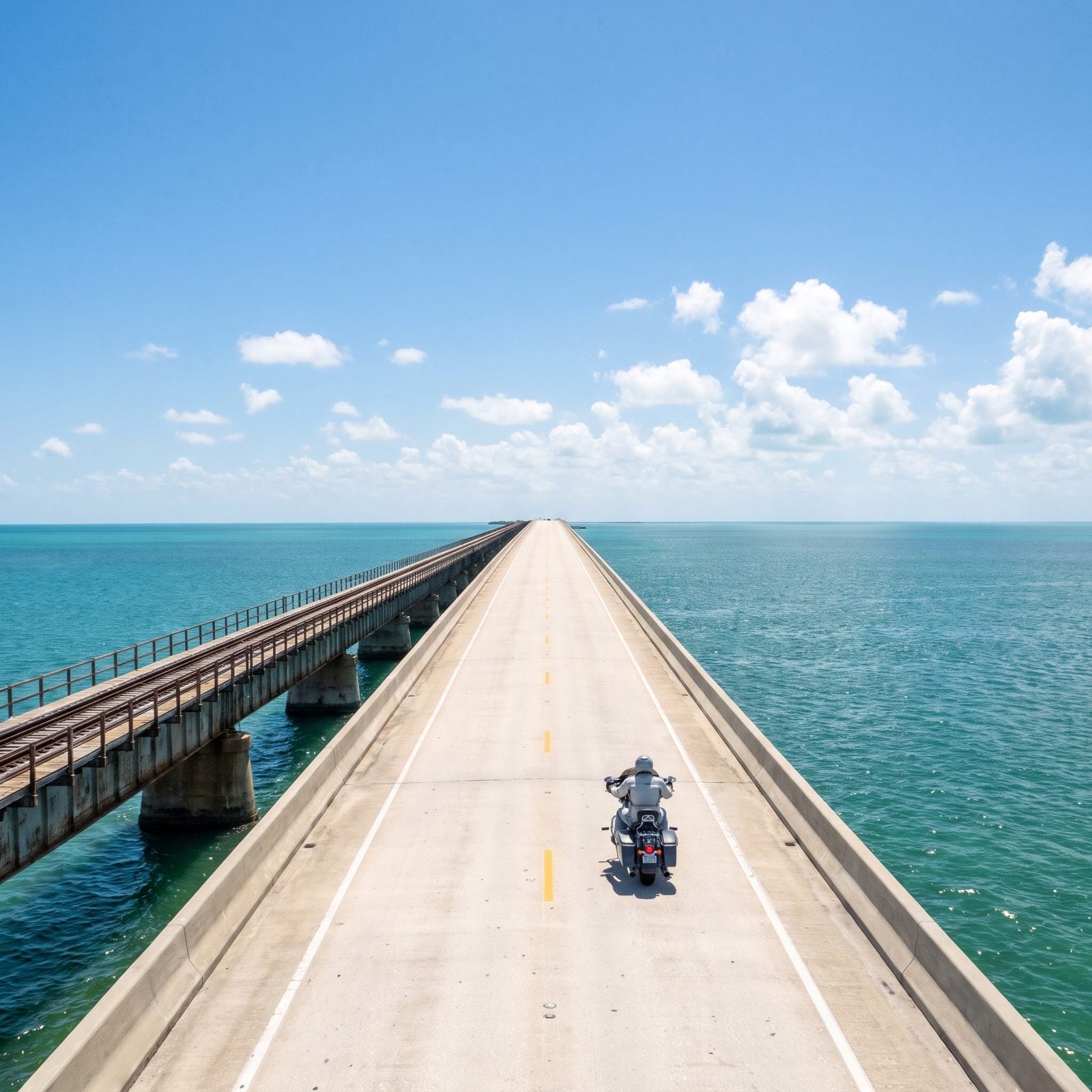
No curves to speak of. This one earns its spot for a different reason entirely: you ride 113 miles out into the ocean on a ribbon of concrete.
US 1 runs from the Miami mainland down through forty-two bridges to Mile Marker 0 in Key West. The Seven Mile Bridge is the showpiece, flat water on both sides, the old railroad span running alongside like a ghost of Flagler’s doomed line.
Plan around the heat and the hurricane calendar. Summer is brutal, storm season runs June through November, and winter weekends crawl with traffic, so leave early. And watch the crosswinds on the long bridges. They’ll shove a light bike right across the lane.
28. New Mexico, The Enchanted Circle Scenic Byway
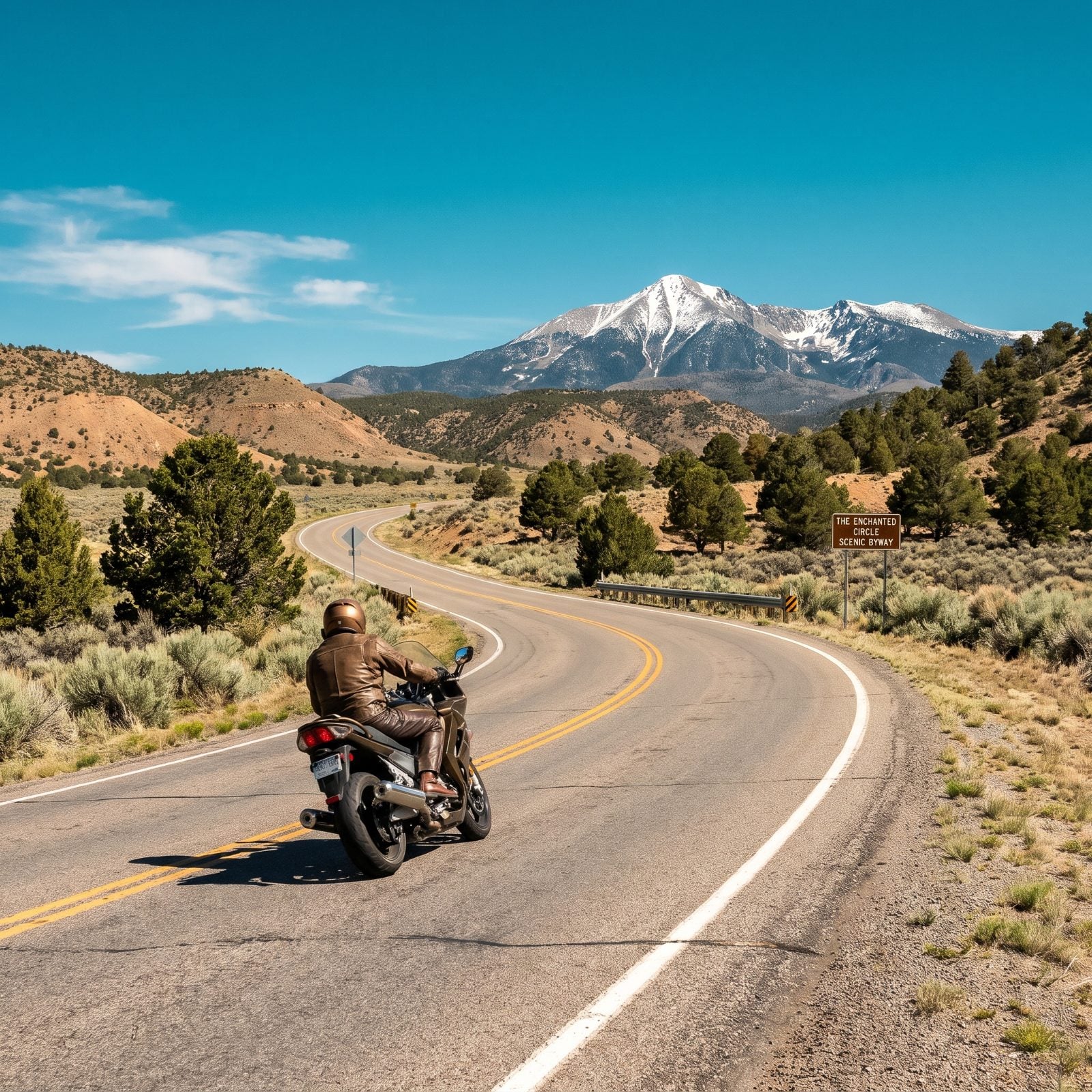
An 83-mile loop you can run in a morning or stretch across a slow, good day.
The Enchanted Circle links Taos, Red River, Eagle Nest, and Angel Fire, circling Wheeler Peak, the highest point in New Mexico. Fast open sweepers give way to tight mountain work over Bobcat Pass. You stay up high the whole way, so pack a layer even in July.
Stop at the Vietnam Veterans Memorial near Angel Fire. It’s quiet, it’s moving, and it’ll reset the whole tone of your ride. Then roll into Red River for green chile and gas.
27. Vermont, Route 100 Through the Green Mountains
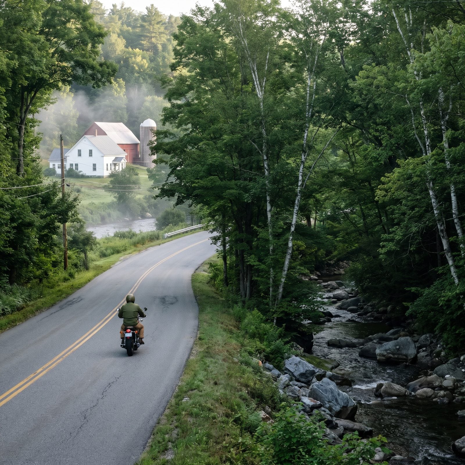
Vermont doesn’t do drama. It does charm, mile after mile, and Route 100 is the spine of it.
The road runs most of the length of the state, following valleys through the Green Mountains, past ski towns, white-steepled villages, and the Ben & Jerry’s factory in Waterbury. Gentle curves, a deliberately slow pace. Soak this one in rather than attack it.
Ride it in late September if you can swing it. Leaf season turns the whole corridor into something you can’t describe without sounding like a postcard, which is exactly why half of New England will be on the road with you. Go midweek and save yourself the crawl.
26. Virginia, The Blue Ridge Parkway Through Southwest Virginia
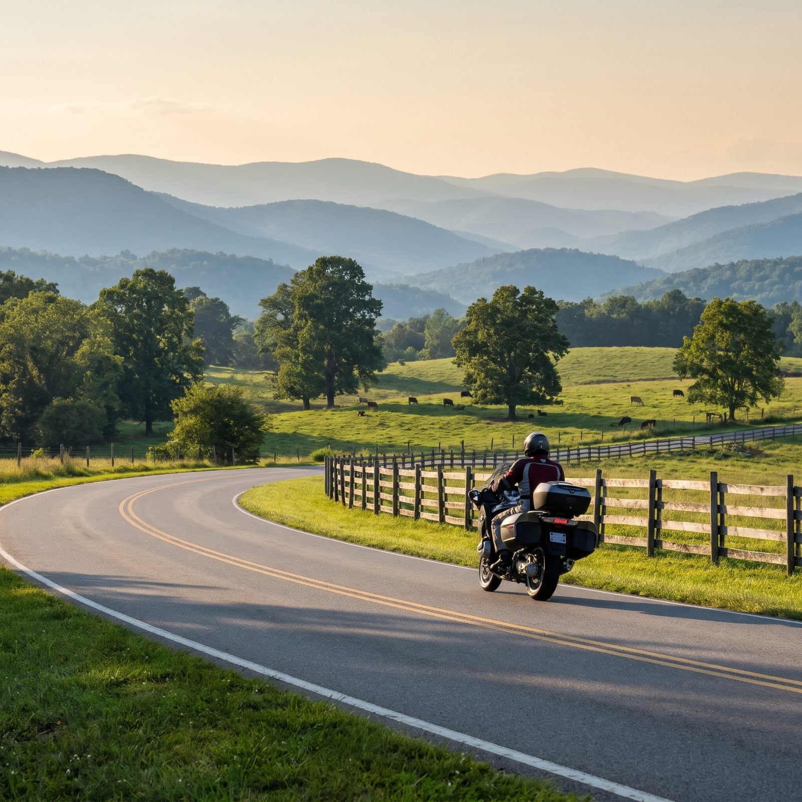
No stop signs. No commercial trucks. No billboards for 217 miles in Virginia alone.
The Parkway was built for exactly this, a slow roll through mountain country with the ugly parts of the modern road stripped away. The southwest Virginia stretch runs through Mabry Mill, past Rocky Knob, over high meadows stitched with split-rail fence.
The 45 mph limit gets enforced, and the deer are worse than any ranger. Not a speed road. It’s a view road, and those views arrive one overlook at a time.
Watch the fuel. There are no gas stations on the parkway itself, so you exit to small towns and loop back. Plan your tank around that, especially on a bike with short legs.
25. New York, Hawk’s Nest on New York 97
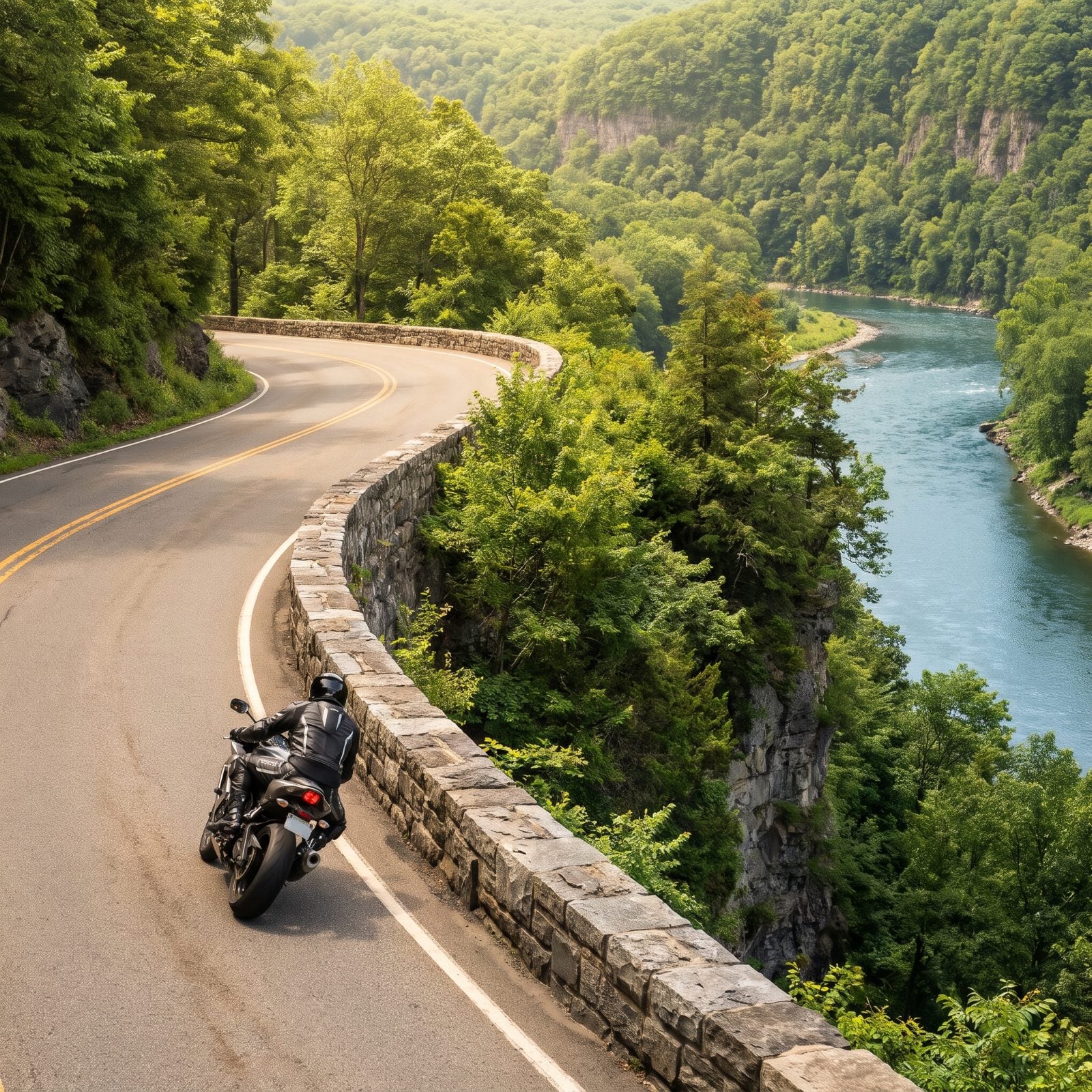
You’ve seen this road and didn’t know it. Those sinuous cliffside curves with the low stone wall and the river far below show up in car commercials constantly.
Hawk’s Nest is a short, serpentine run of NY 97 above the Delaware River near Port Jervis, maybe a few miles of tight, banked turns with a drop on one side. Riders from across the tri-state area pour in every weekend.
That popularity is the catch. On a sunny Saturday it’s packed, enforcement is heavy, and the guys trying to prove something are the ones who end up in the gravel. Ride it early, ride it within your limits, and pull off at the overlook to let the view land.
24. Georgia, Georgia 60 From Dahlonega Through Suches
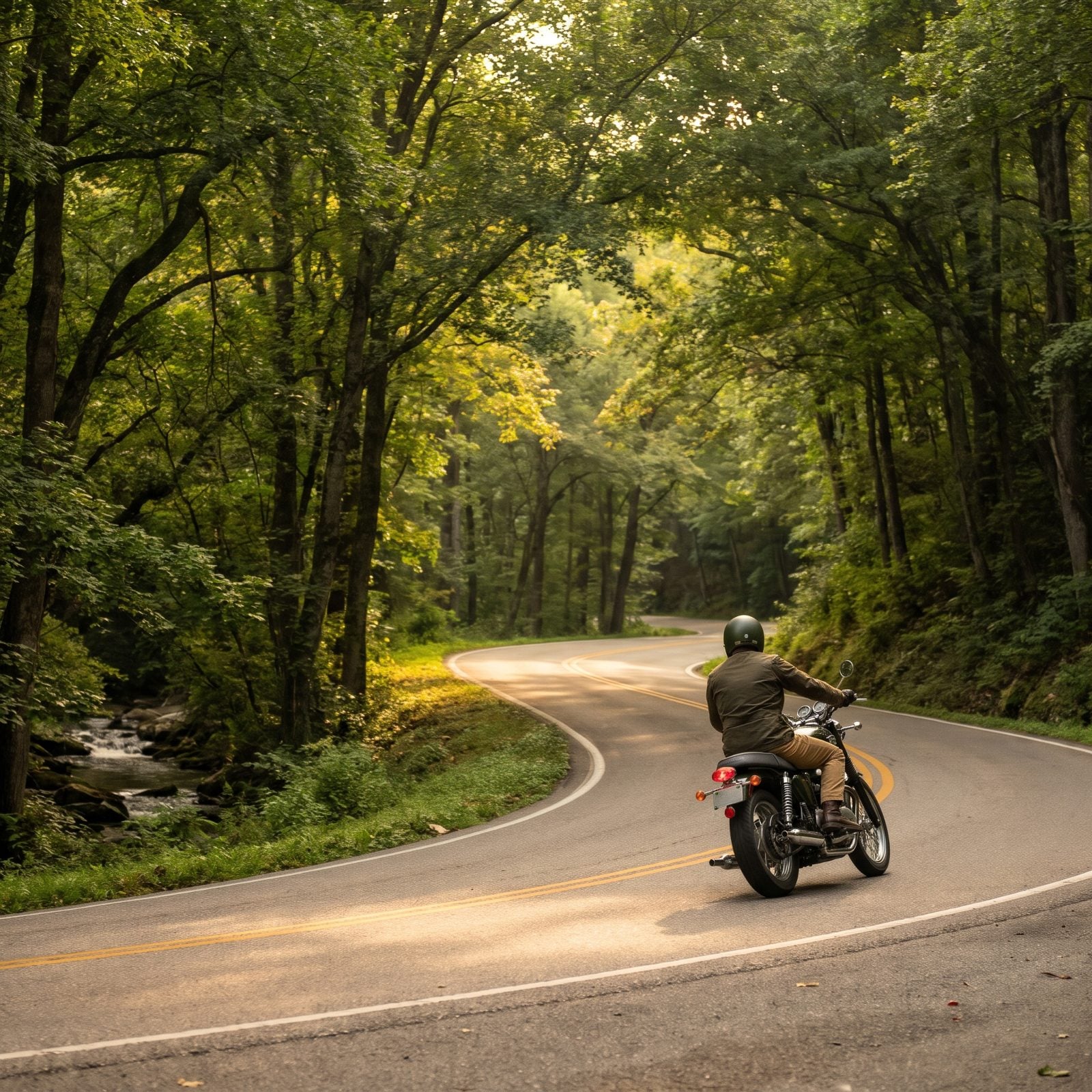
Tucked in the north Georgia mountains is a road the locals half-wish stayed secret.
Georgia 60 winds from Dahlonega up through Suches, a tiny spot that calls itself the valley above the clouds, perched around 3,000 feet. Tight, constant curves, forest closing in overhead, and the Two Wheels of Suches lodge has been a rider waypoint for years.
It pairs naturally with GA 180 and the run up to Brasstown Bald, Georgia’s highest point. Fuel is thin up here, so top off in Dahlonega before the climb. And that gold-rush town at the bottom? Worth an hour on its own when you roll back down.
23. Nevada, Valley of Fire Highway
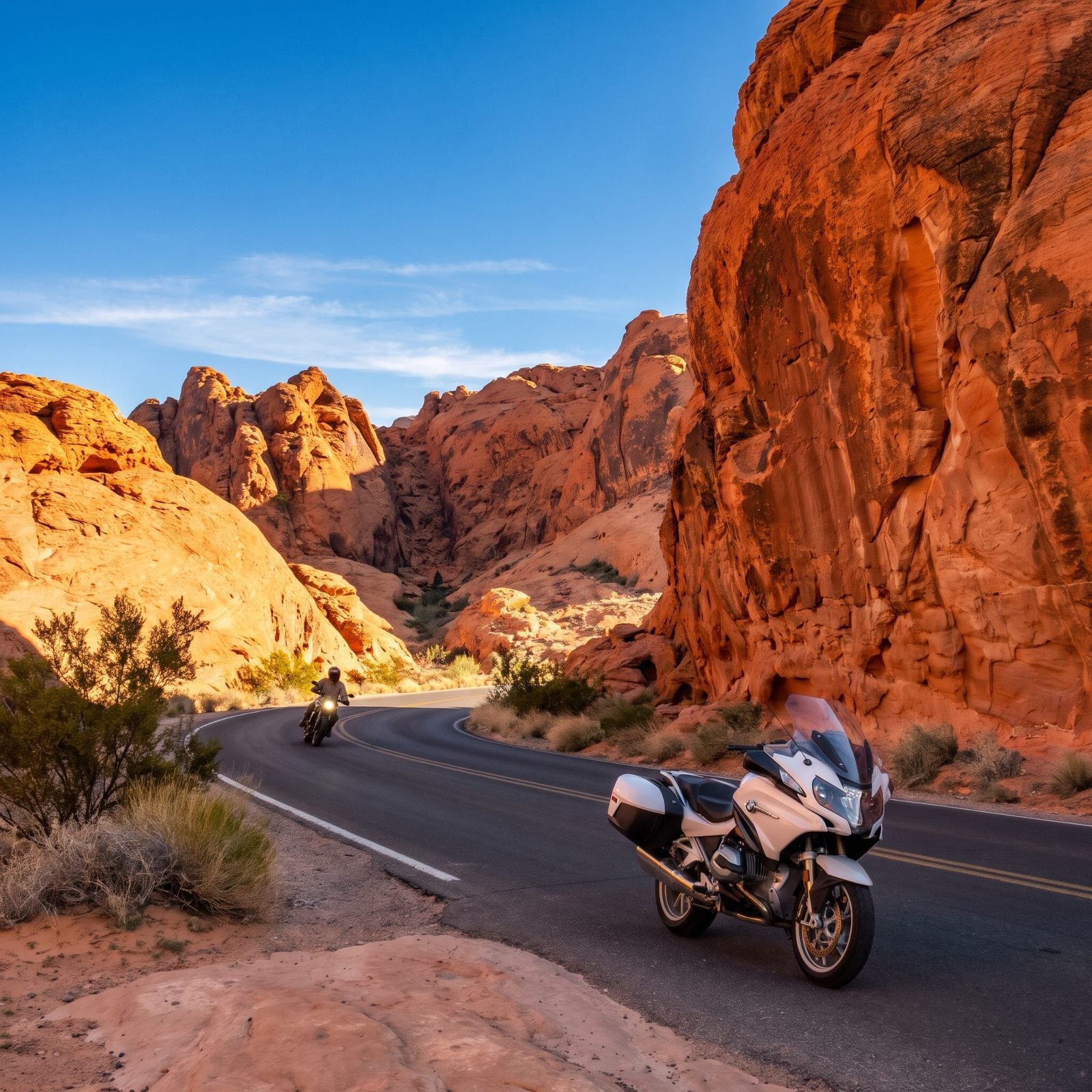
About fifty miles northeast of Las Vegas and a different planet entirely. The Valley of Fire Highway runs about ten miles through Nevada’s oldest state park, and the rock here doesn’t look real. It’s that red.
Ride it early or late, because midday in summer the pavement reads like a griddle and the air coming off it will cook you through your jacket. Spring and fall mornings are the sweet spot. The curves are mellow, which is the point. You’re here to look, not to scrape pegs. Pull off at the Beehives and the White Domes trailhead.
22. Michigan, Tunnel of Trees on M-119
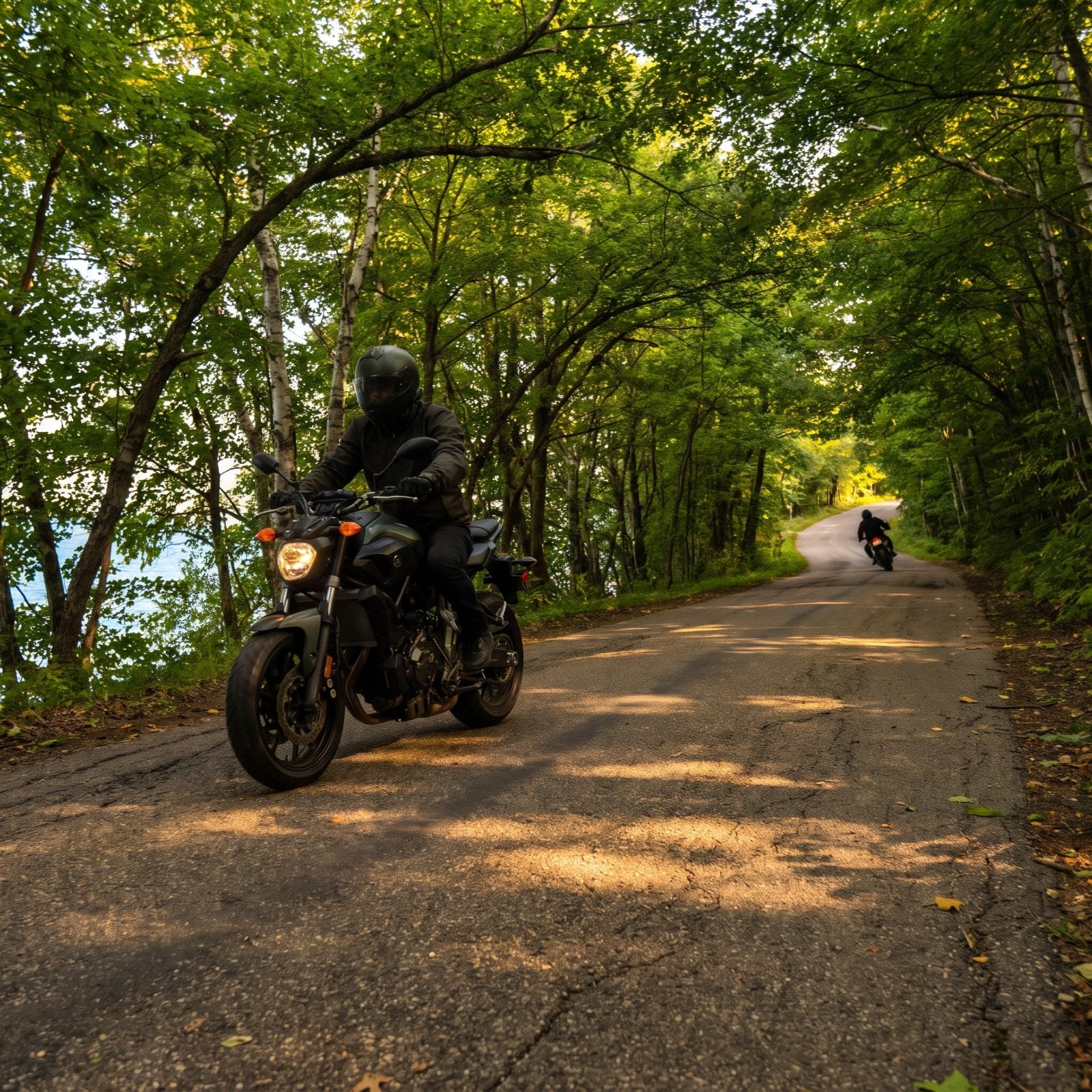
There’s no centerline and barely room for two bikes to pass, and that’s exactly why riders love it. M-119 between Harbor Springs and Cross Village runs about twenty miles through a corridor of maples so dense the branches close over the road like a roof.
Go slow. The road demands it anyway, what with the blind, tight turns and the occasional deer that treats the asphalt as a crosswalk. Stop at Legs Inn in Cross Village for whitefish and a view of the lake — the place is built from driftwood and stone and looks like a fever dream, in the good way.
Fall is the obvious draw, when the canopy turns to fire, but the crowds come with it. A weekday morning in late September gives you the color without the conga line of cars.
21. Minnesota, North Shore Scenic Drive Along Lake Superior
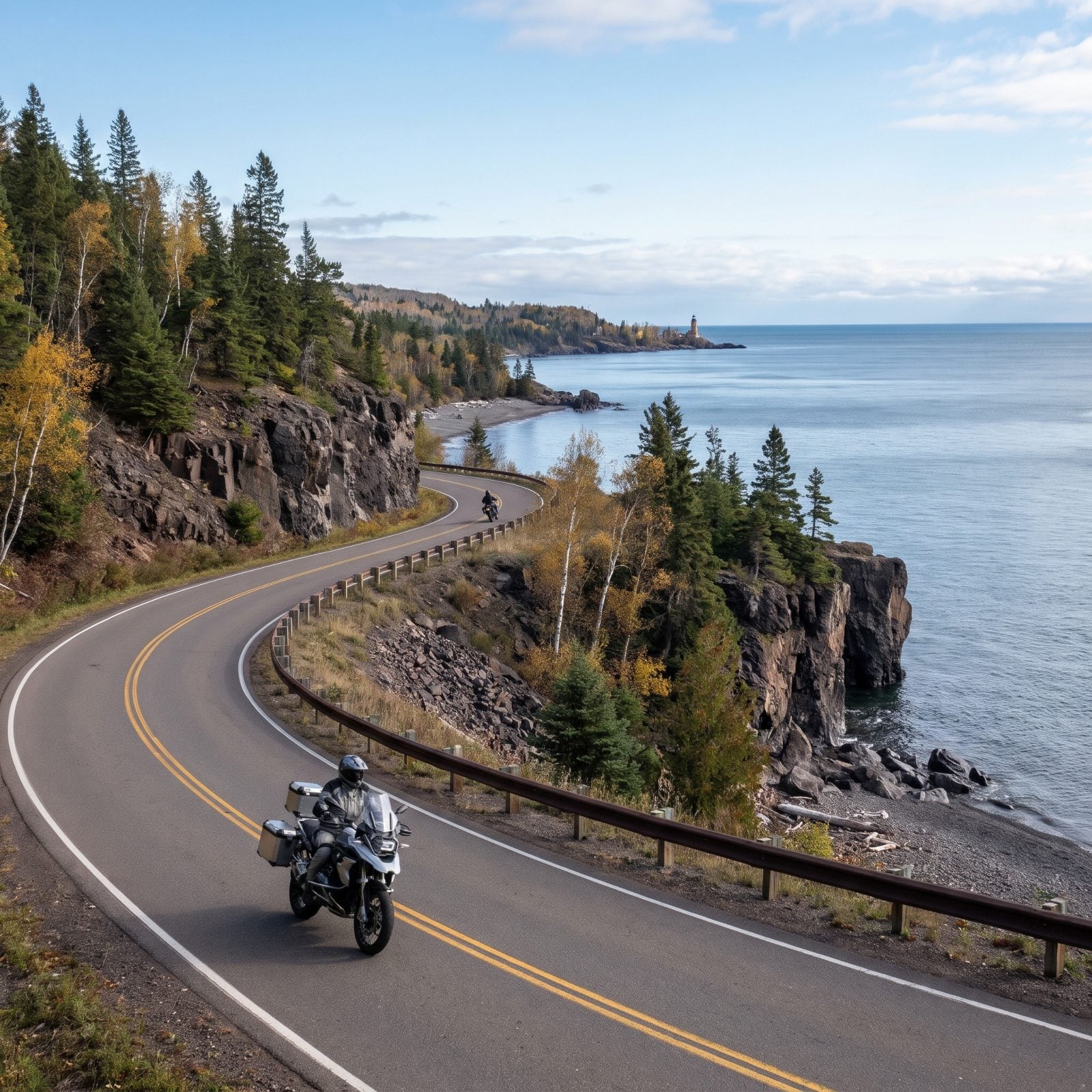
Highway 61 up the North Shore feels like riding beside an ocean that forgot to be salty. Superior is that big. From Duluth to Grand Marais you get around 110 miles of shoreline, pine forest, and waterfalls crashing down from the hills on your left.
Stop at Gooseberry Falls and Split Rock Lighthouse — both are worth the parking lot. The lake makes its own weather, so a warm inland morning can turn into a cold, foggy coast run in twenty minutes. Pack a layer you’d be embarrassed to admit you brought.
20. West Virginia, US 250 Through the Allegheny Highlands
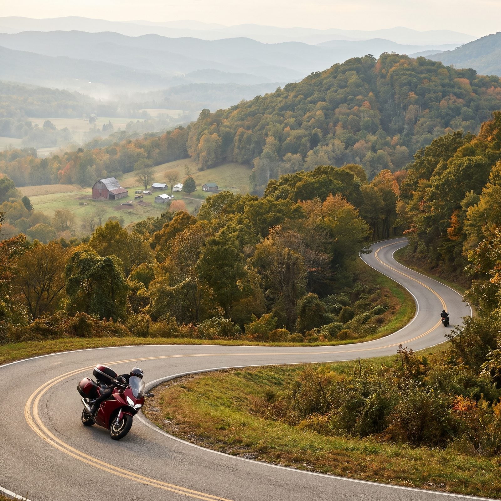
Ask a West Virginia rider for the best road and you’ll start an argument, but US 250 over the mountains near Cheat and Back Allegheny makes the short list every time. The climb up Cheat Mountain is a stack of tight switchbacks that’ll have you working the bike through every gear you own.
This is logging and farm country, so expect gravel in the corners after rain and a slow coal truck now and then. Respect both. The payoff is the ridge views and air that smells like cold spruce.
Fuel up before you start. Stations get sparse up here, and there’s no shame in a conservative tank. We’ve coasted into a pump on fumes more than once and it’s never the thrill you’d hope.
19. Ohio, Triple Nickel on Ohio 555
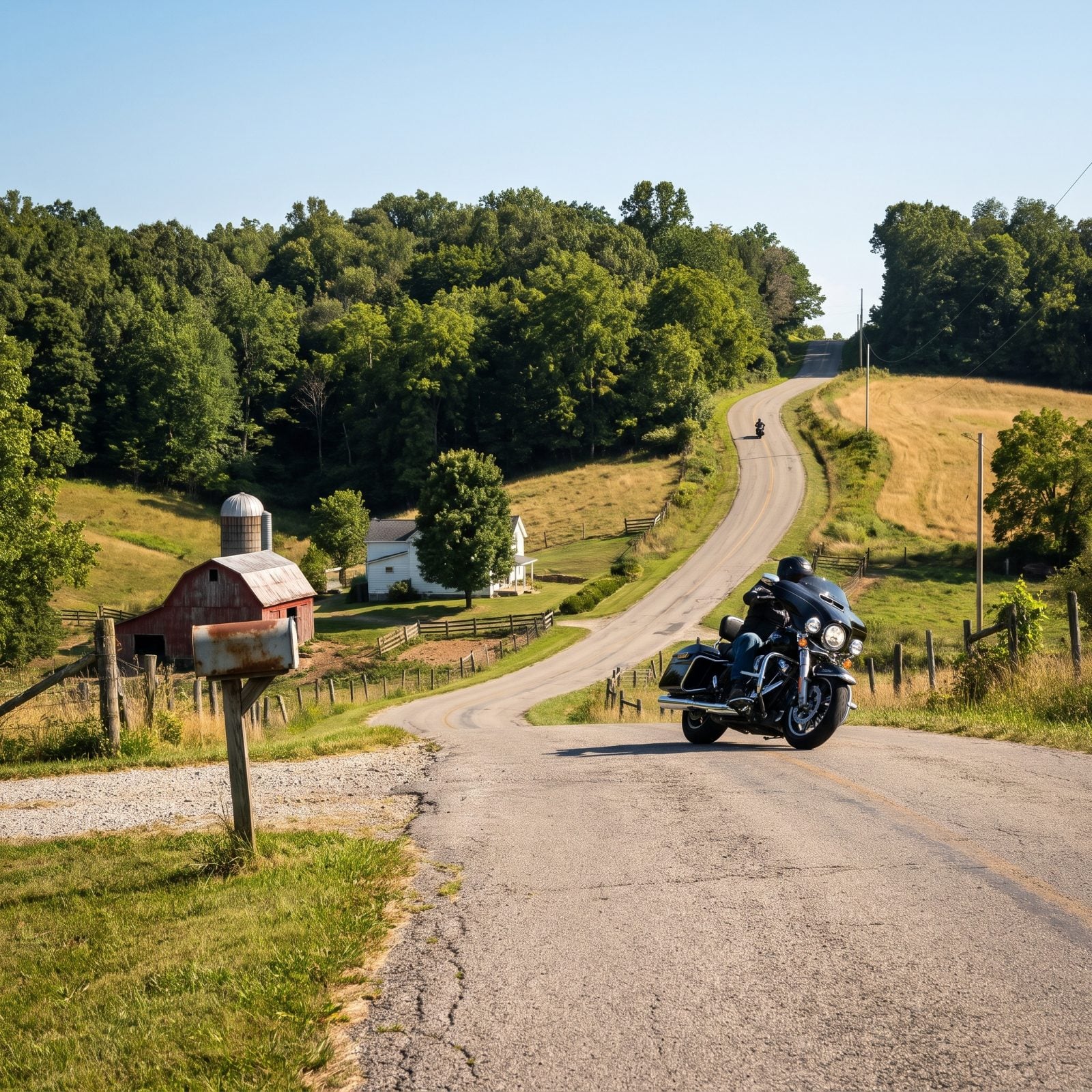
Locals call Ohio 555 the Triple Nickel, and it has a cult following for one reason: it never stops moving. For about sixty miles between Zanesville and Little Hocking it twists, dips, and rolls over the hills like the road was poured by someone who hated straight lines.
No big overlooks here, no tourist traps — just a tight, technical ride through farm country that rewards smooth inputs and punishes a lazy throttle. Watch for gravel washed onto the pavement and the odd Amish buggy near the north end.
18. Oklahoma, Talimena National Scenic Byway
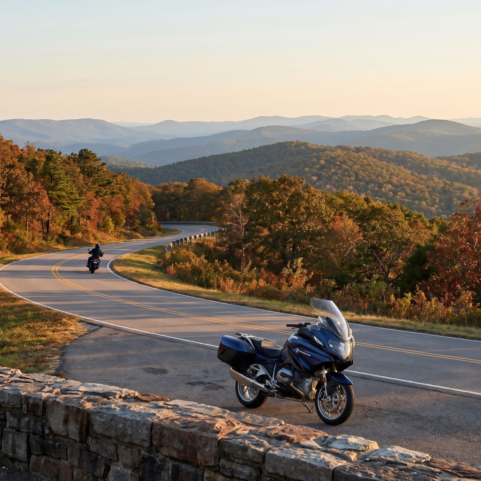
People don’t expect mountains in Oklahoma. Then they ride the Talimena and shut up about it. The byway runs about fifty-four miles along the crest of the Winding Stair and Rich Mountains, from Talihina into Arkansas, and it stays up top the whole way.
That ridgeline routing is the whole trick. You get views off both sides, long sweeping curves instead of gut-punch hairpins, and almost no traffic on a weekday. There’s little to no fuel or food on the byway itself, so top off in Talihina and bring water.
Fifty-plus miles of ridgetop and barely a straight stretch to nap through. The Talimena is the South’s quiet answer to the Blue Ridge.
Fall color peaks late October into early November and it’s the best time to come, hands down.
17. Kentucky, Red River Gorge Scenic Byway
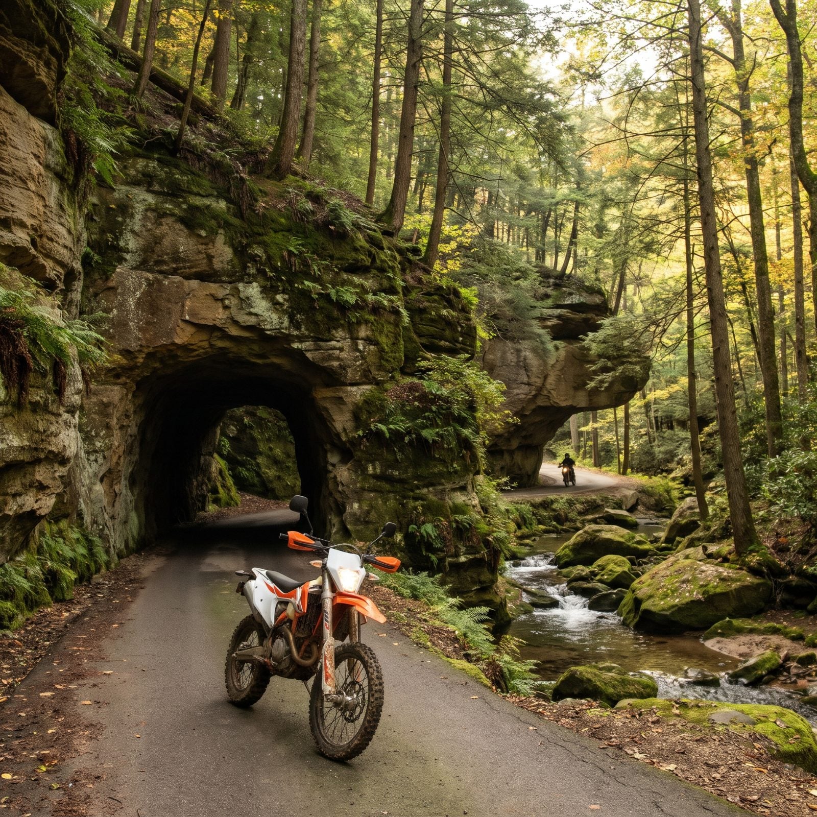
The Red River Gorge hides some of the best riding in the Southeast under a canopy of hemlock and sandstone. The scenic byway, Kentucky 715 and 77, loops through cliffs, arches, and a one-lane rock tunnel barely tall enough to make you duck.
Nada Tunnel is the star. It’s an old logging bore, dark, wet, and single file, and you honk before you enter so nobody meets you nose to nose in the middle. The road is tight and often damp with dripping rock, so cold rubber and shaded moss don’t mix. Give the first few corners time to warm your tires.
16. Maine, Acadia National Park Loop Road
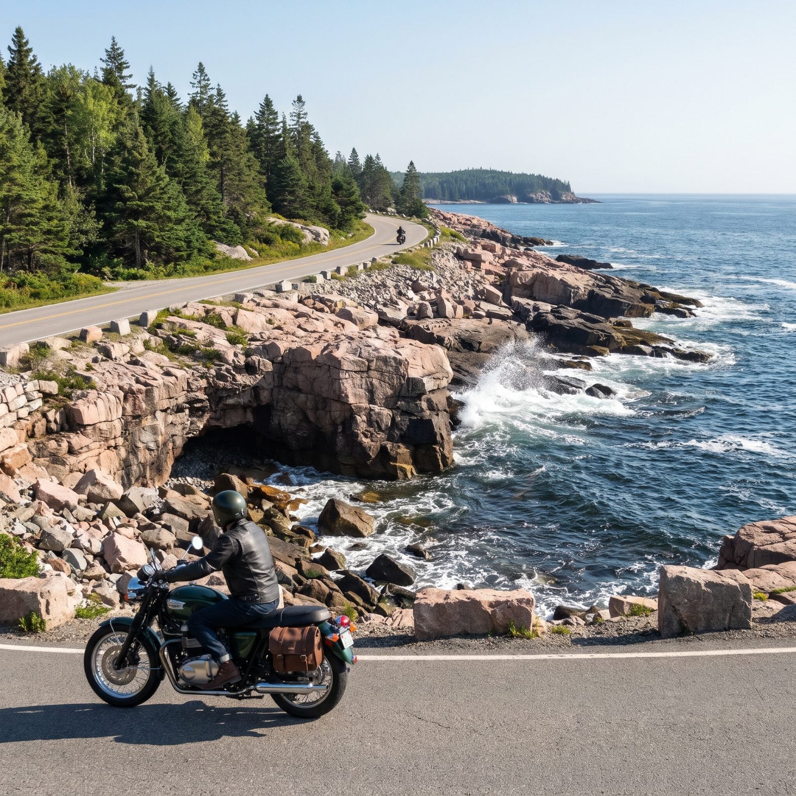
Acadia’s Park Loop Road is about twenty-seven miles of pink granite coast, spruce forest, and Atlantic surf, most of it one-way so you never fight oncoming traffic. The road rides the edge between mountain and ocean on Mount Desert Island, and it’s as pretty as any coastal run in the country.
Here’s the catch nobody mentions until the gate: motorcycles pay a park entrance fee just like cars, and in peak summer the loop is a slow parade of rental cars and tour vans. Ride it at dawn. Cadillac Mountain’s summit road wants a timed-entry reservation in season, so book ahead or skip it.
Stop at Thunder Hole when the tide’s coming in. The ocean punches air out of a sea cave and the ground shakes.
15. Massachusetts, Mohawk Trail Across the Berkshires
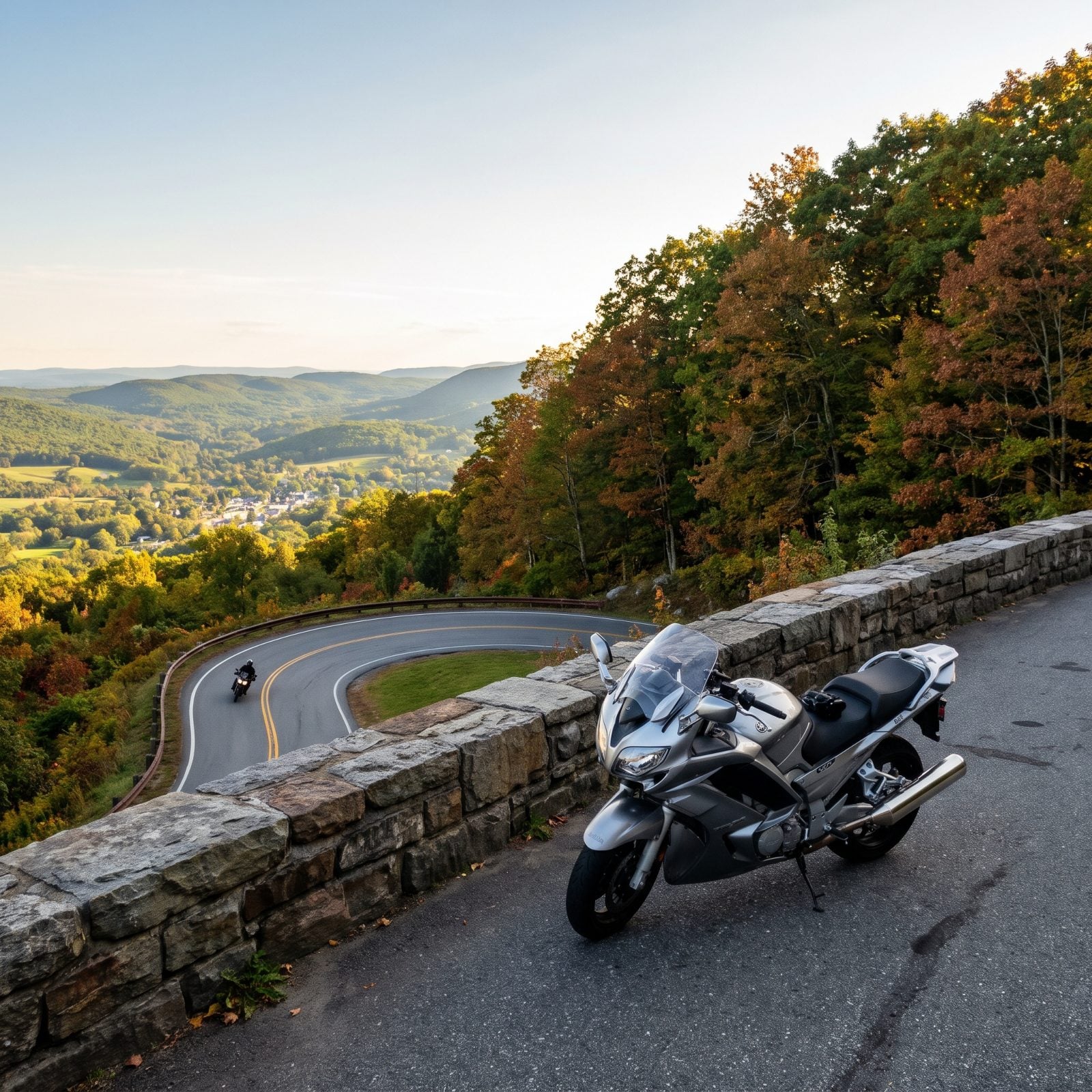
Route 2 across the Berkshires has been a tourist road since the Model T, and the Mohawk Trail still earns it. Running roughly sixty-three miles from Greenfield to the New York line, it climbs over the mountains and delivers the Hairpin Turn, a genuine 180-degree switchback with an overlook café bolted to the edge.
The hairpin is the money shot. But the real pleasure is the long sweeping climb and descent on either side. Stop in Shelburne Falls for the Bridge of Flowers and a coffee. Leaf season turns this into the busiest road in the state, so a September weekday beats a mid-October Saturday every time.
14. Pennsylvania, Laurel Highlands Scenic Byway
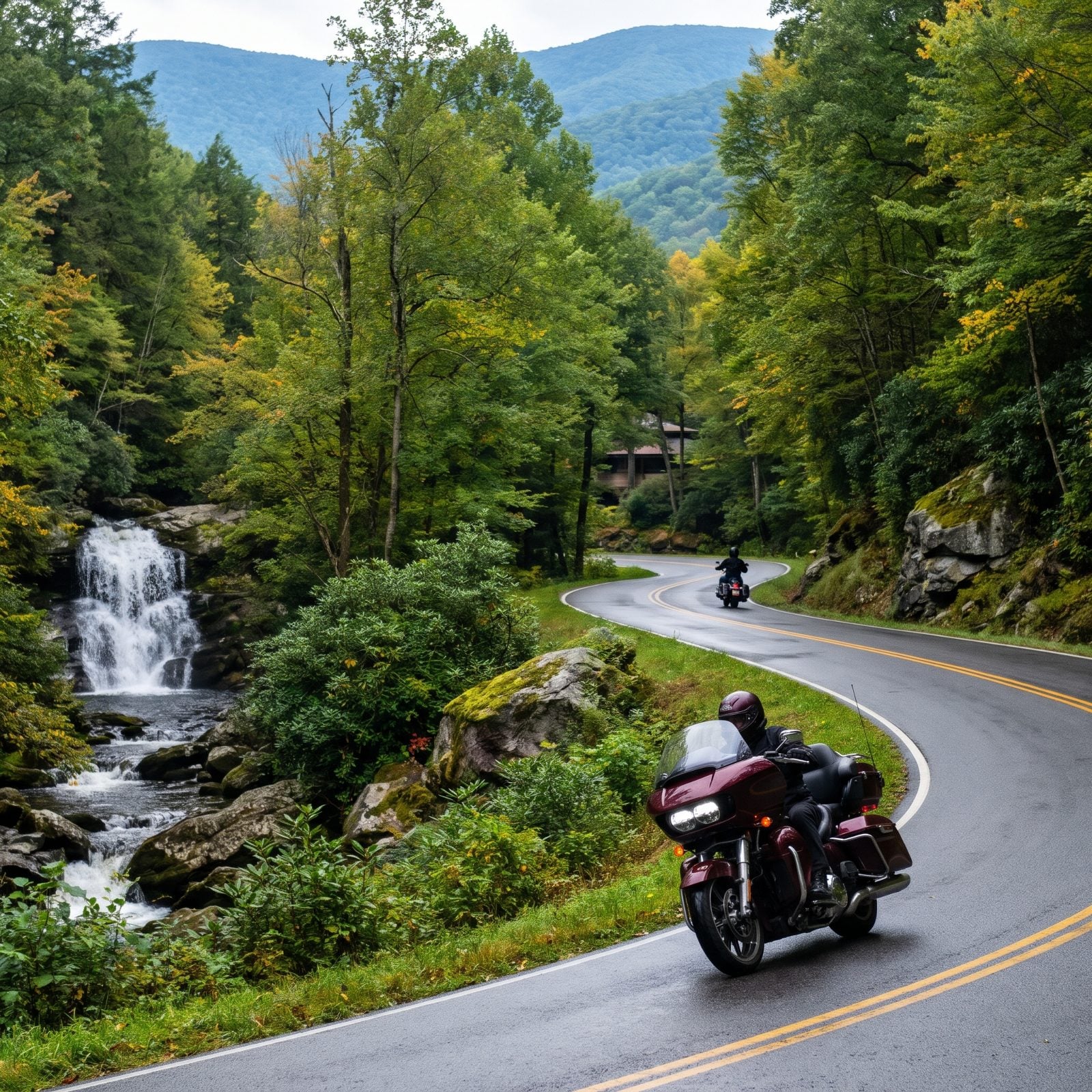
The Laurel Highlands pack more good riding into one corner of Pennsylvania than seems fair. The scenic byway threads routes 381 and 711 through forest, over Laurel Ridge, past Ohiopyle State Park and the Youghiogheny River gorge.
The curves flow and the forest is thick, which means shade, cool pavement, and deer. Lots of deer, especially at dusk. Ride the heart of the day and you’ll cut the risk way down. Ohiopyle makes a good lunch stop, with waterfalls a short walk off the bike.
Fallingwater sits right along the route if you want a reason to stand still for an hour. Frank Lloyd Wright built a house on top of a waterfall, and the ride out to it is nearly as good as the house.
13. Iowa, Loess Hills National Scenic Byway
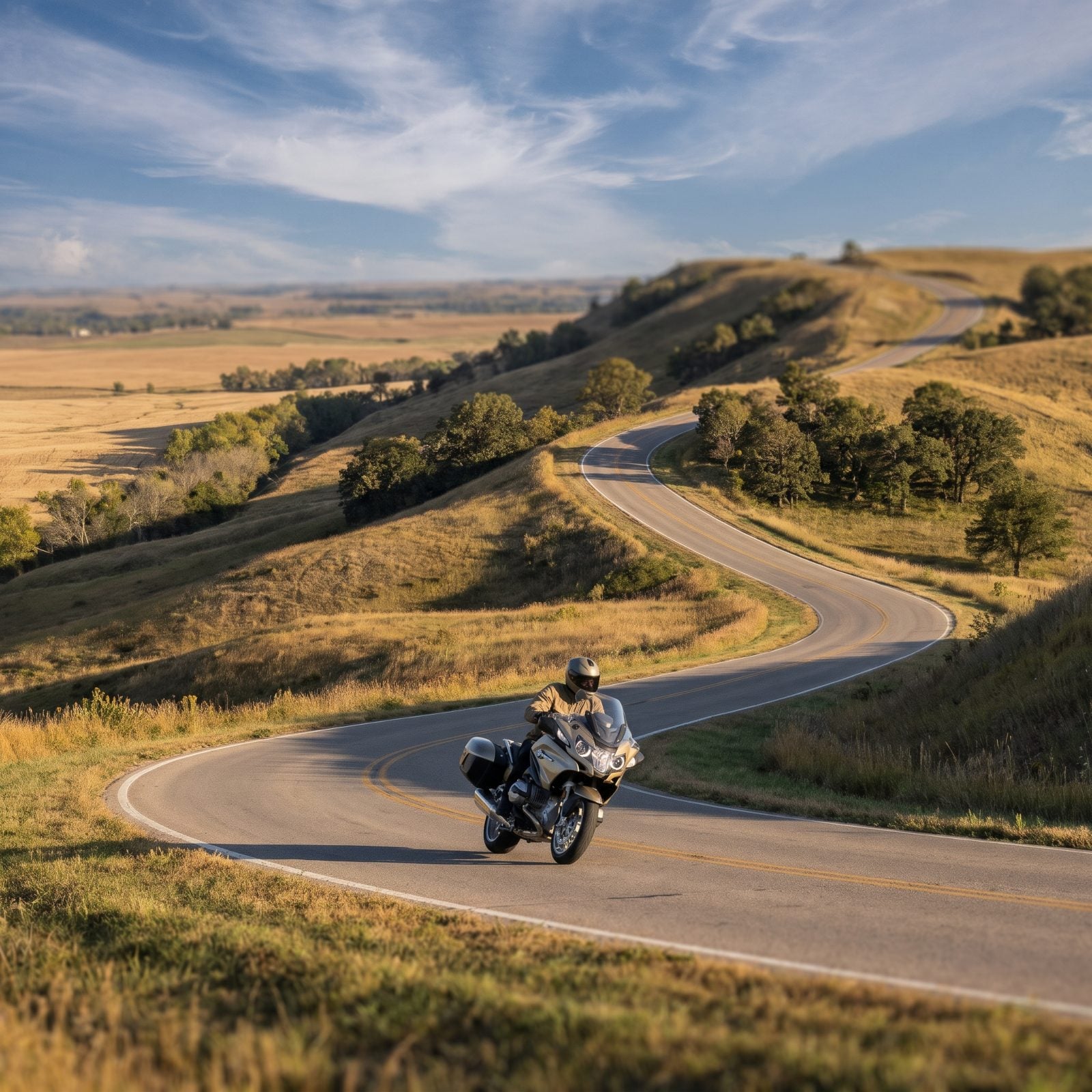
Most riders slab straight across Iowa on the interstate and never know these hills exist. Their loss. The loess (say it “luss”) is some of the deepest wind-deposited soil on earth, piled into ridges steep enough to feel like a roller coaster someone paved.
The main byway runs maybe 220 miles north to south near the Missouri River. But the real gold hides in the marked loop excursions that peel off into the ridgetops, where the road suddenly tightens and the views crack open all at once. Fuel up in Missouri Valley or Sioux City, because services thin out fast between them and the empty stretches don’t warn you first.
12. Missouri, Highway 19 Through the Ozark Highlands
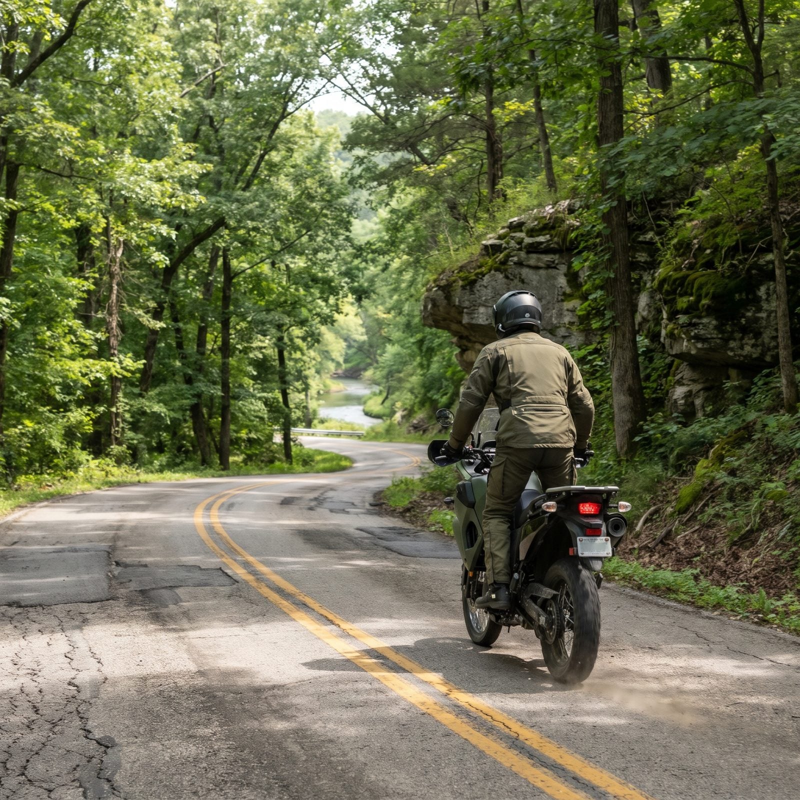
Highway 19 doesn’t advertise itself, and that’s the appeal. It threads south through the heart of the Ozarks, dropping into river valleys and clawing back out over and over, past spring country where water bubbles up cold and blue from the limestone.
Catch the ferry crossing near Akers if it’s running. And don’t skip Round Spring. The riding is rhythmic rather than frantic — long sweepers punctuated by tighter stuff as you near the Current River. Watch for gravel washed onto the pavement after rain, because the Ozarks make their own weather and they don’t check with you first.
11. Alabama, Little River Canyon Rim Parkway on Lookout Mountain
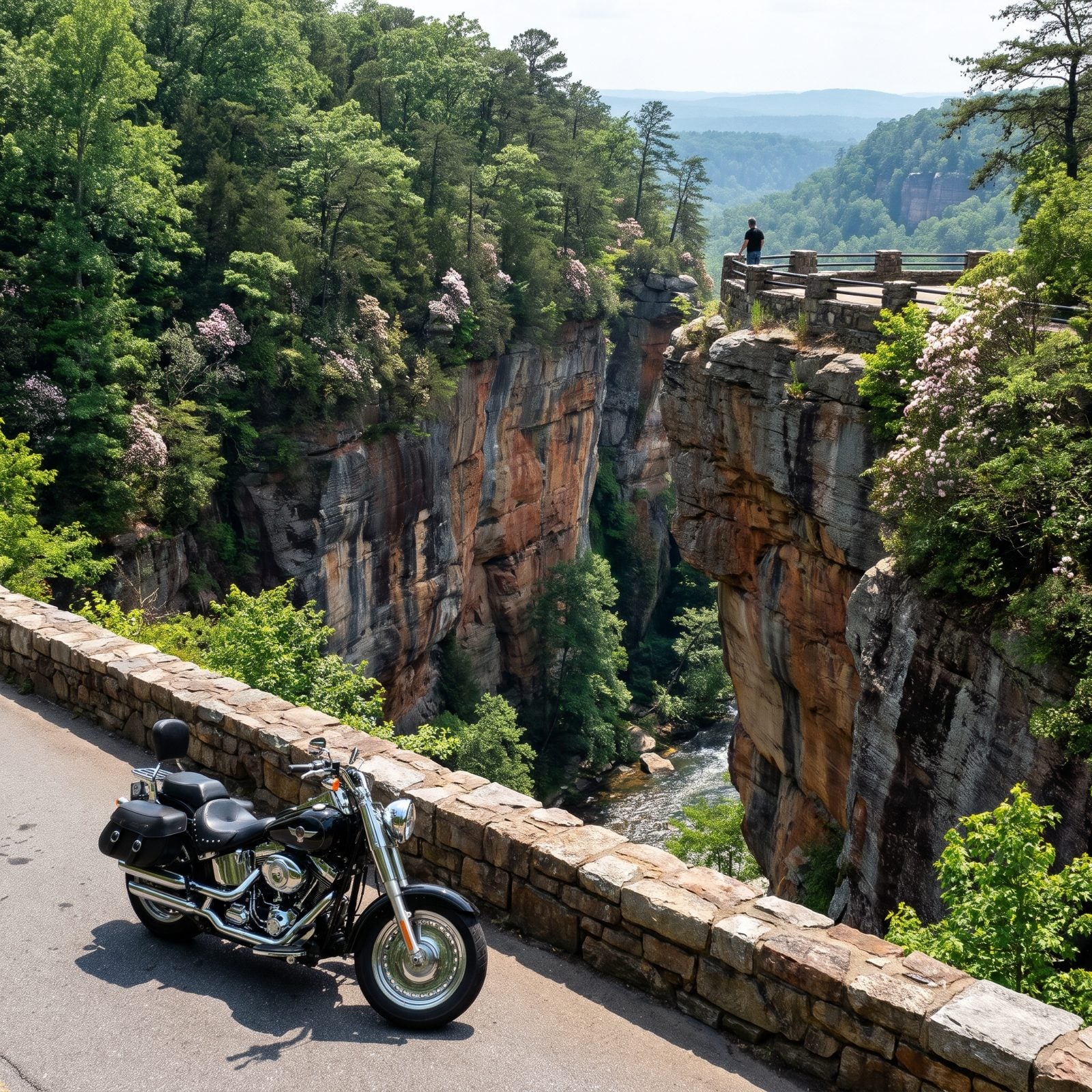
Alabama surprises people who’ve never left the interstate. Little River carved the deepest canyon east of the Mississippi, and the rim parkway hugs its edge with turnout after turnout, each one a reason to kill the engine and just look.
The pavement here runs a series of easy curves, nothing technical, which lets you actually watch the gorge instead of fighting the road. Grace’s High Falls and the canyon mouth overlook earn the stops. Pair it with the longer stretch of Lookout Mountain Parkway if you’ve got a full day to burn.
10. Wisconsin, Kettle Moraine Scenic Drive
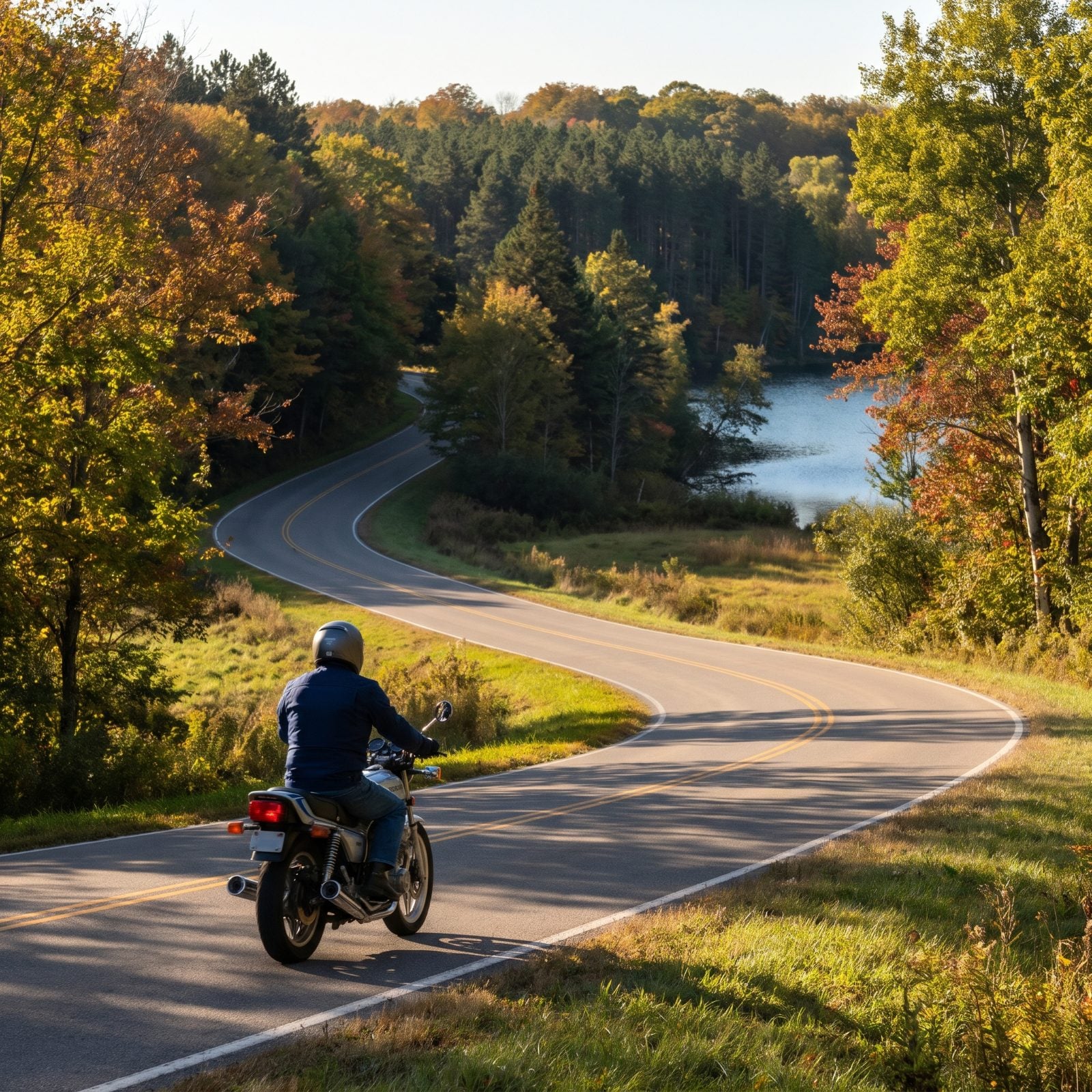
Glaciers built this road’s best feature before anyone paved it. The kettles and moraines are what the ice left behind — hollows and ridges that hand the drive its gentle up-and-down character through forest and farm country.
The signed route stitches together county highways across both the Northern and Southern units of the Kettle Moraine State Forest. Go in the first weeks of October and the hardwoods put on a show. Stop at the Ice Age Visitor Center near Dundee to figure out what you’re actually looking at. This is a mellow ride, more meditation than adrenaline, and some days that’s exactly what you want.
9. South Carolina, Cherokee Foothills Scenic Highway 11
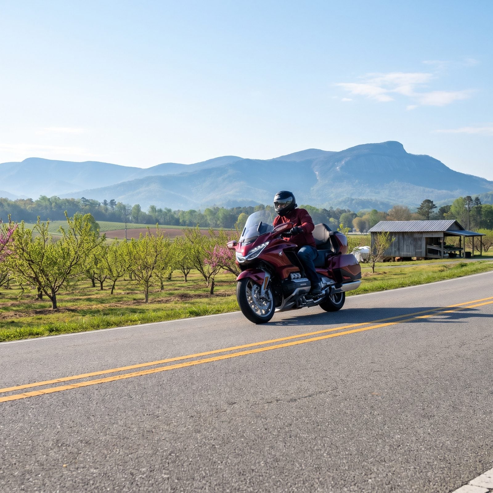
Highway 11 runs the base of the Blue Ridge for roughly 130 miles, and it’s the rare scenic route that’s also genuinely fast and flowing. Long sightlines, big sweepers, and the mountains laid out to your north the whole way.
Peach country means roadside stands all summer. Table Rock and Caesars Head reward the detour up into the hills if you want tighter riding. Hit it in spring when the orchards leaf out, or in October when the ridgeline burns through its colors.
8. Mississippi, The Natchez Trace Parkway
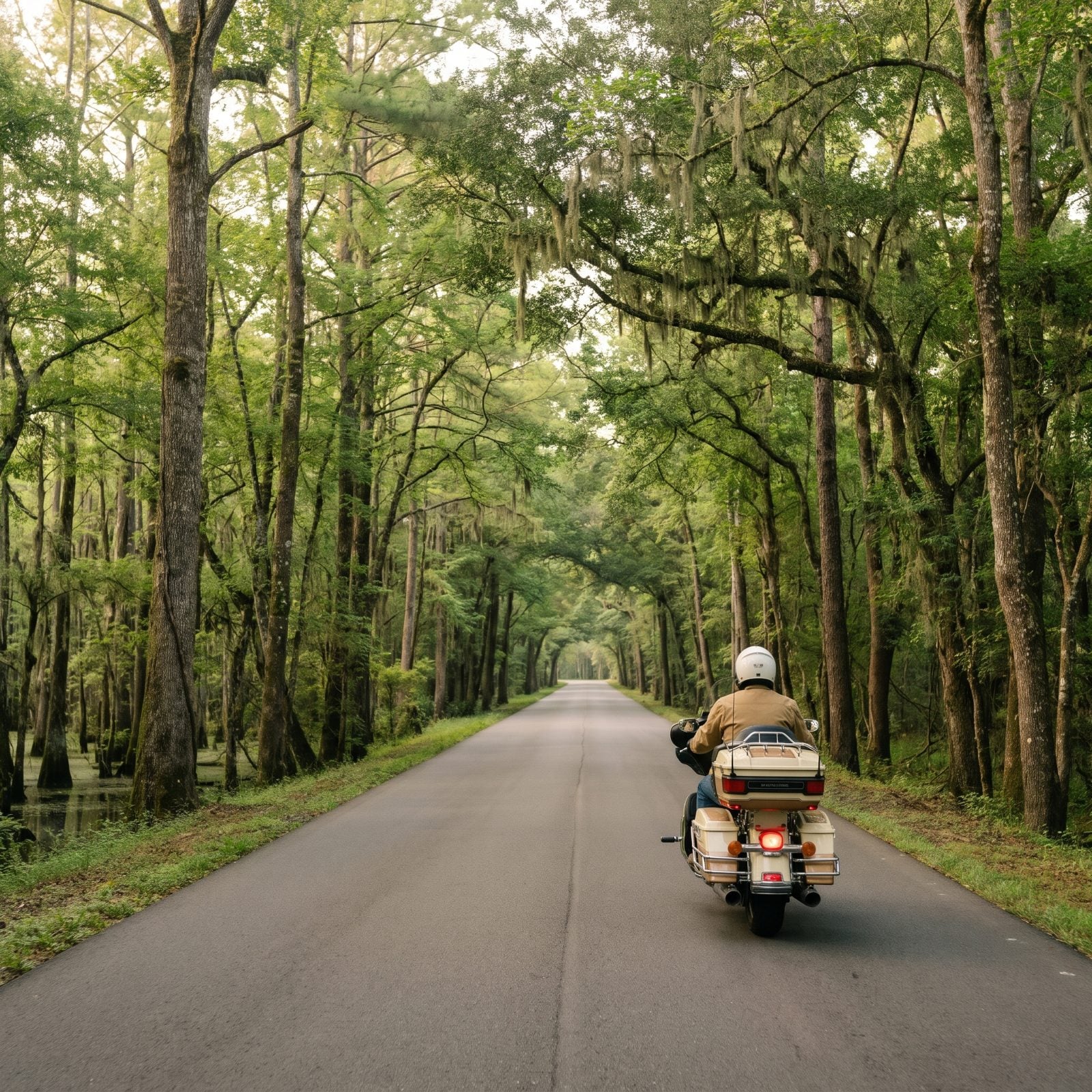
No trucks. No billboards. No stoplights. The Natchez Trace is 444 miles of federal parkway tracing an old trail, and the Mississippi stretch is the quietest, greenest riding you’ll find anywhere in the South.
That 50 mph limit annoys some riders at first. Then you stop caring, because the whole idea is to slow down and let the forest close in around you. Emerald Mound, the sunken old-trace sections near Port Gibson, the Cypress Swamp boardwalk — pull over for every one of them.
Fuel is the catch. Gas stations sit off the parkway, not on it, so top off before you commit to a long leg. Plan your stops or you’ll be coasting on fumes past some very pretty trees.
7. Illinois, The Great River Road Along the Mississippi
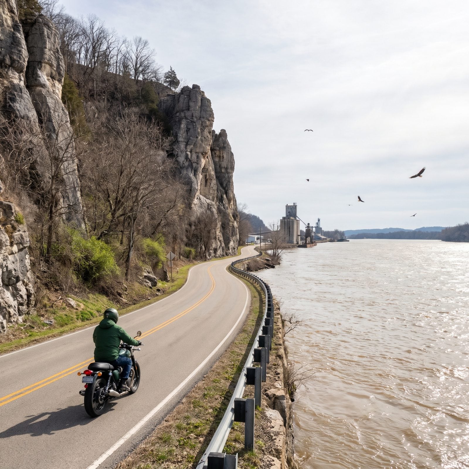
Ride the stretch between Alton and Grafton. That’s the one. The road gets squeezed right down to the water’s edge, limestone bluffs crowding your left and the Mississippi wide and brown on your right, and for a few miles it turns dramatic in a way the flat Midwest almost never allows.
Stop in Grafton for the river-town feel and the wineries up on the bluffs. In deep winter, bald eagles gather below the locks and dams by the hundreds. Pere Marquette State Park makes a solid turnaround point.
6. Louisiana, The Creole Nature Trail Through the Coastal Wetlands
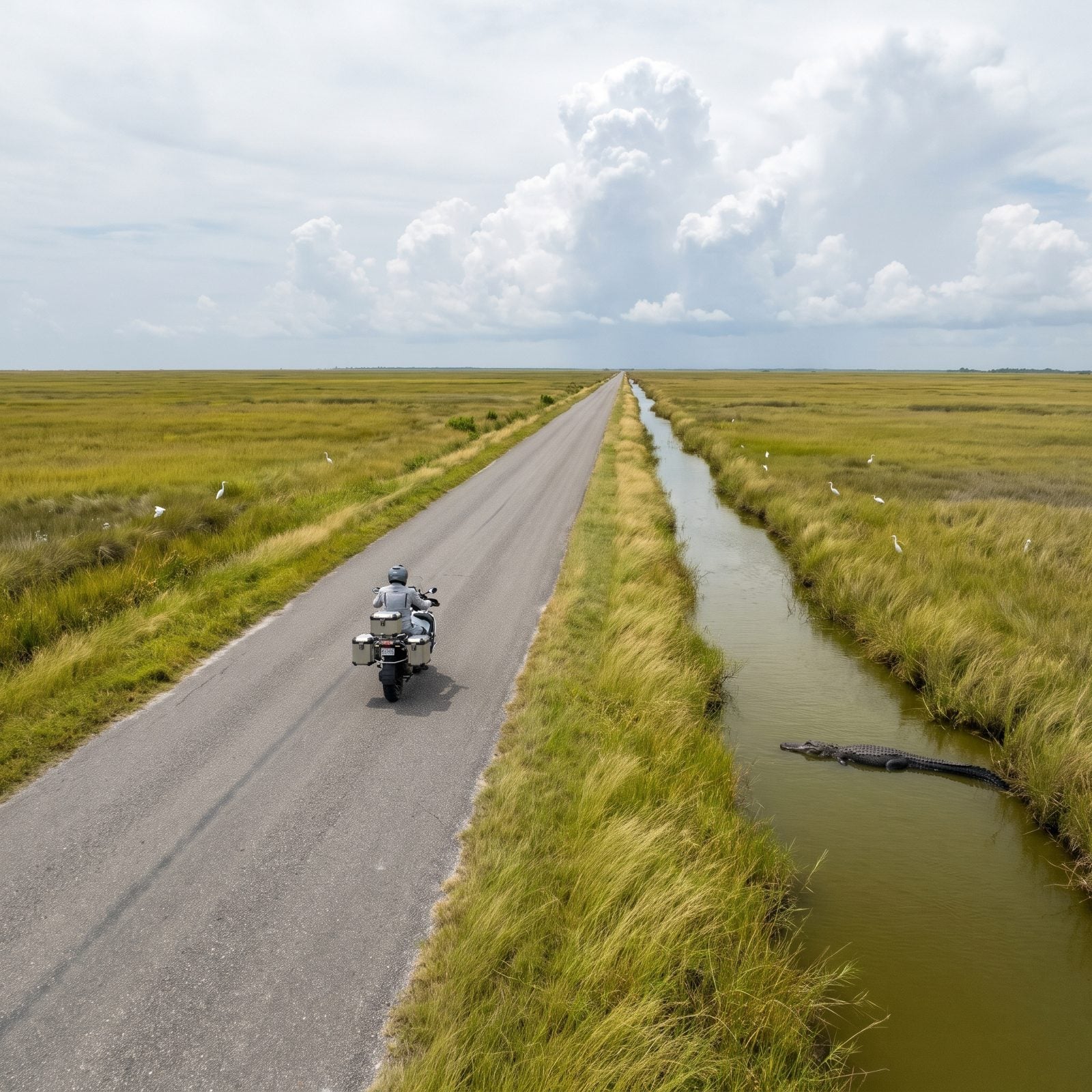
This one isn’t about curves. It’s about a landscape most riders have never laid eyes on — a flat ribbon of road thrown across marsh and prairie all the way to the Gulf, alligators lazing in the roadside ditches and egrets numbering in the thousands.
The loop runs through the Sabine and Cameron Prairie refuges south of Lake Charles. Pull over at the boardwalks and you’ll spot gators without even trying. It’s remote out there. Fuel and food get scarce once you commit, and the Gulf wind will shove a loaded bike around like it’s nothing.
5. North Dakota, Theodore Roosevelt National Park South Unit Scenic Loop
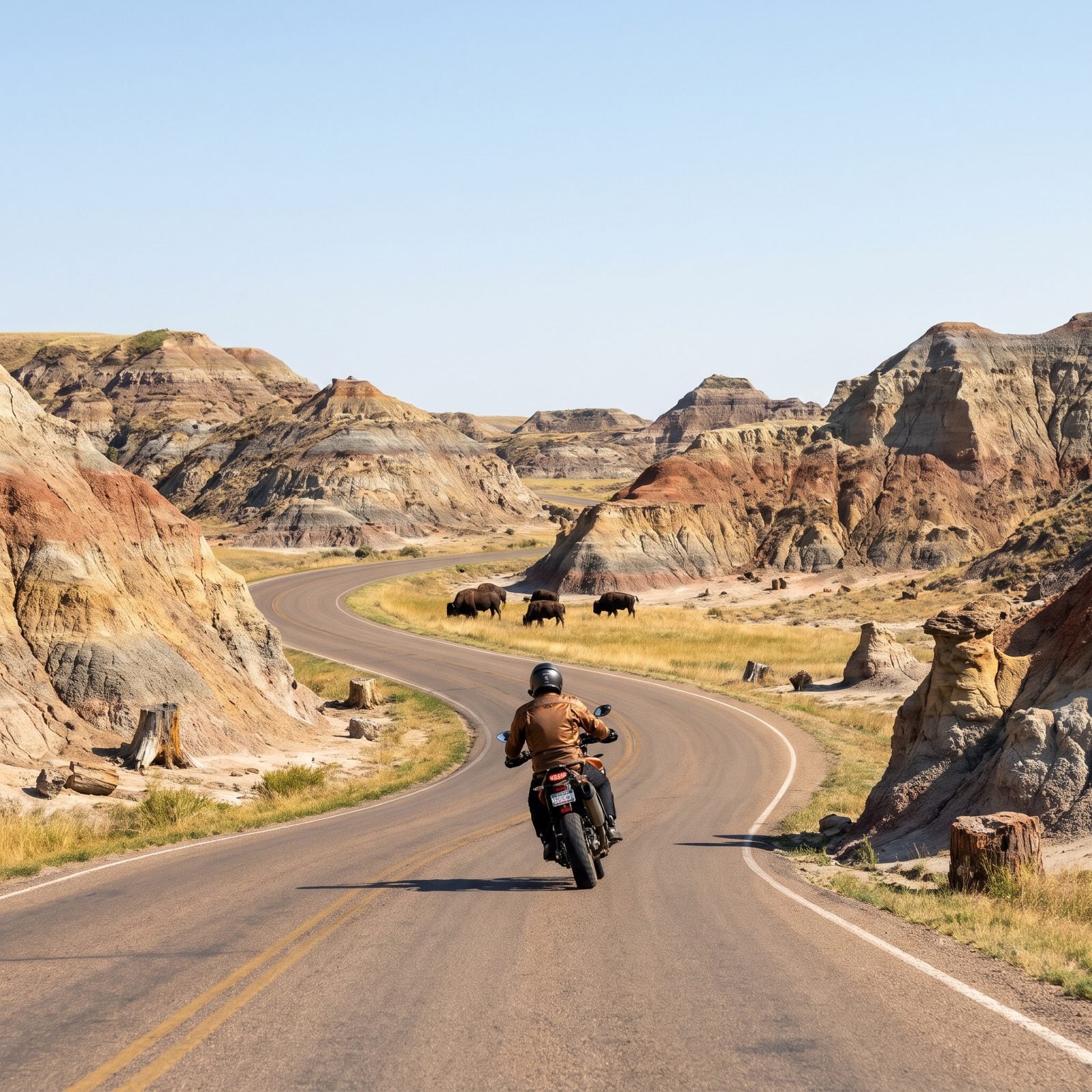
Nobody expects badlands in North Dakota, which is exactly why this loop knocks people flat. The 36-mile scenic drive winds through banded clay buttes and prairie in the park’s South Unit near Medora, and the riding stays slow and easy on purpose.
You’ll meet bison on the road. Not a maybe — a when. Give them room and never crowd them. Prairie dog towns, wild horses, and overlooks above the Little Missouri turn this into a half-day ride you’ll remember longer than roads twice its length.
4. Kansas, The Flint Hills National Scenic Byway on K-177
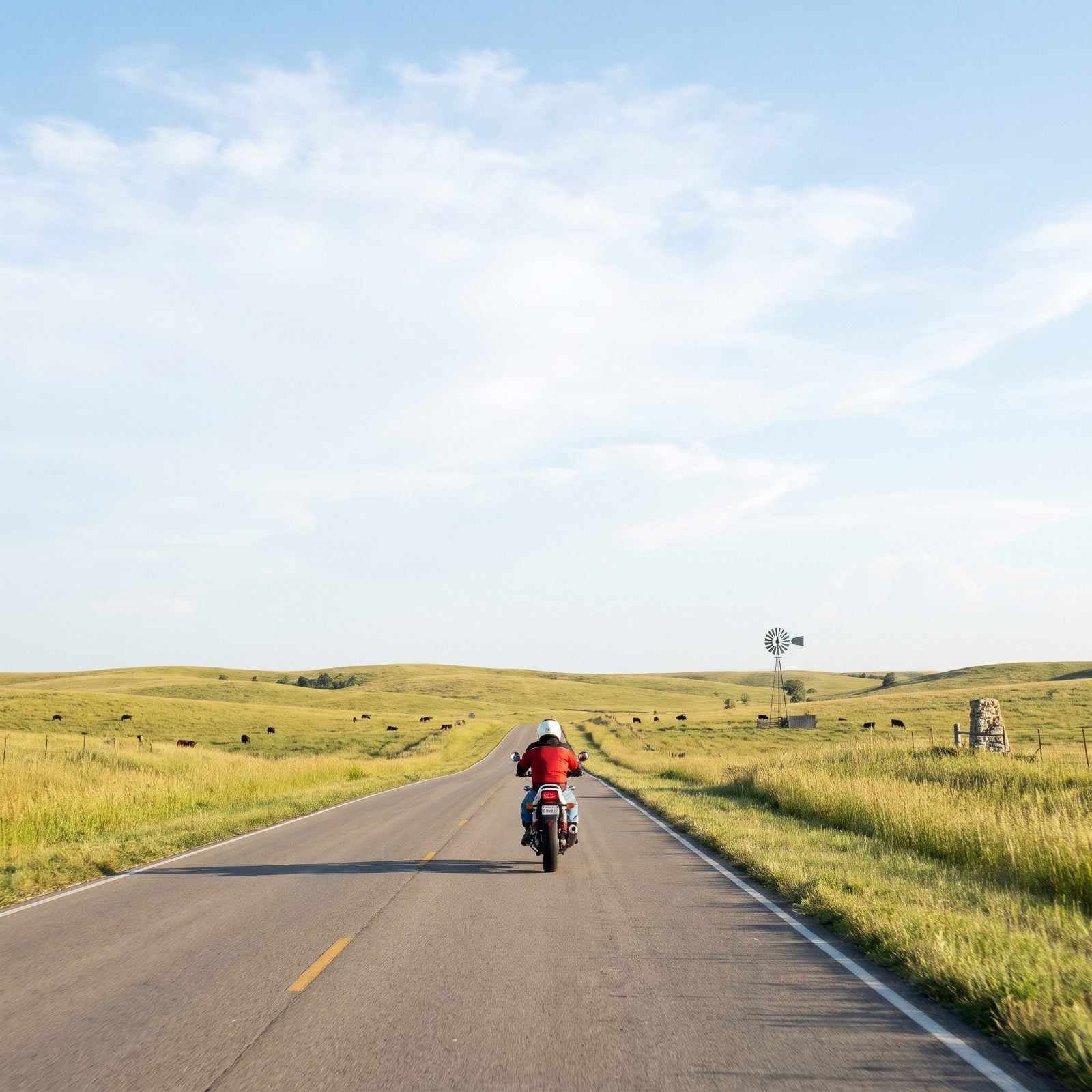
K-177 crosses the last big piece of tallgrass prairie left in America, and riding it feels like time travel. Rolling grass hills to every horizon, limestone fence posts, cattle, and a sky so wide it bends the whole scene around you.
The byway runs roughly 50 miles between Council Grove and Cassoday. Stop at the Tallgrass Prairie National Preserve near Strong City, walk out into the grass, and you’ll understand just how rare this kind of emptiness has become. Spring greens it up. Fall torches it to gold and amber.
Nothing technical here, and that’s not a flaw. Open throttle, open sky, nothing to look at but everything. Some roads are about the corners. This one’s about the room to breathe.
3. Nebraska, Sandhills Journey Scenic Byway on Highway 2
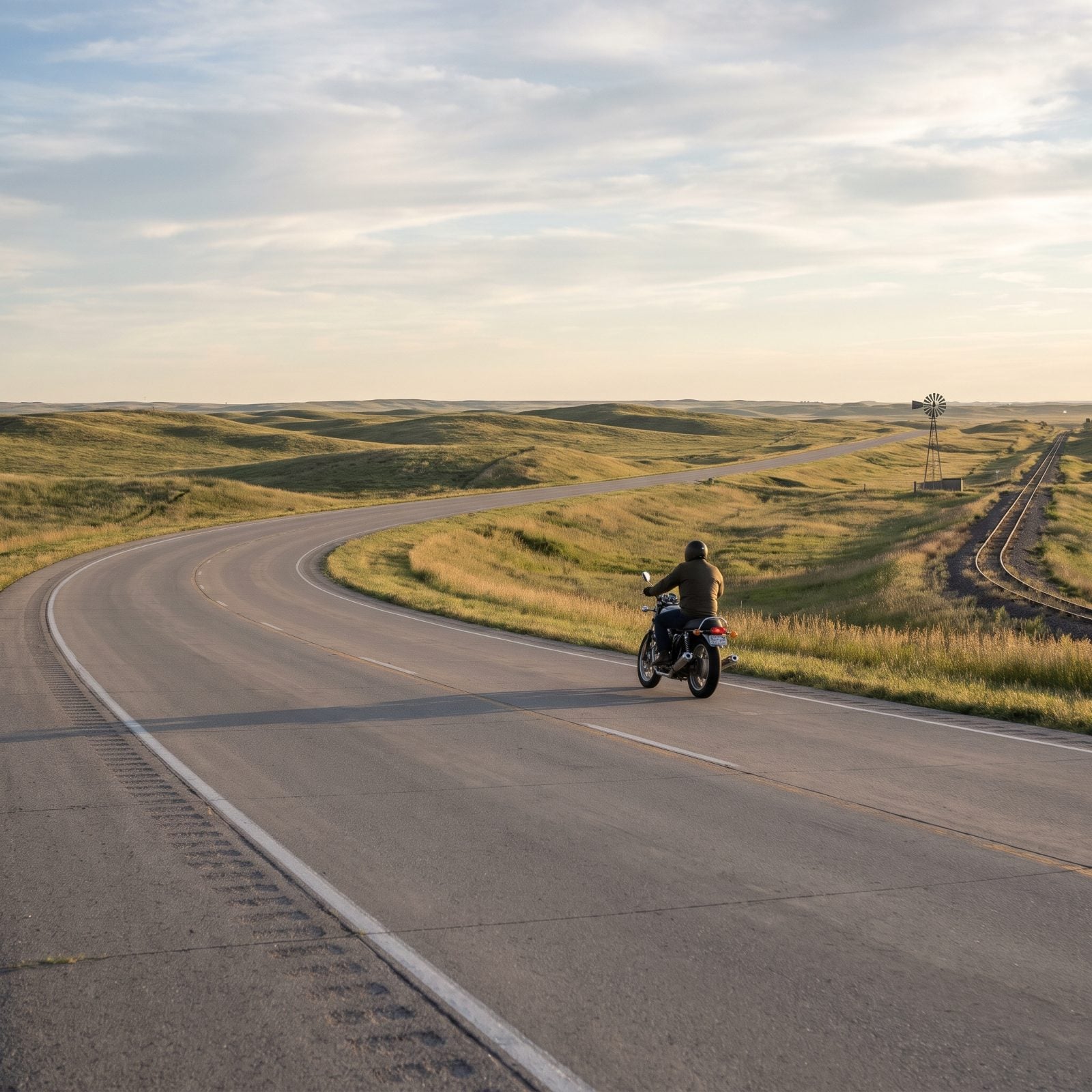
Most people fly over the Sandhills and never think twice. Their loss. Highway 2 runs about 270 miles through the largest sand dune formation in the Western Hemisphere, now carpeted in grass and cattle instead of desert, and the curves are gentle, the grades easy, the loneliness the whole reason you came.
Fuel up in Broken Bow or Thedford before you commit to a leg. Services thin out fast, and the wind out here gets a vote in your fuel range whether you like it or not. The railroad shadows the road most of the way, so expect to trade waves with coal trains a mile long.
2. Wyoming, Beartooth Highway Linked to the Chief Joseph Scenic Byway
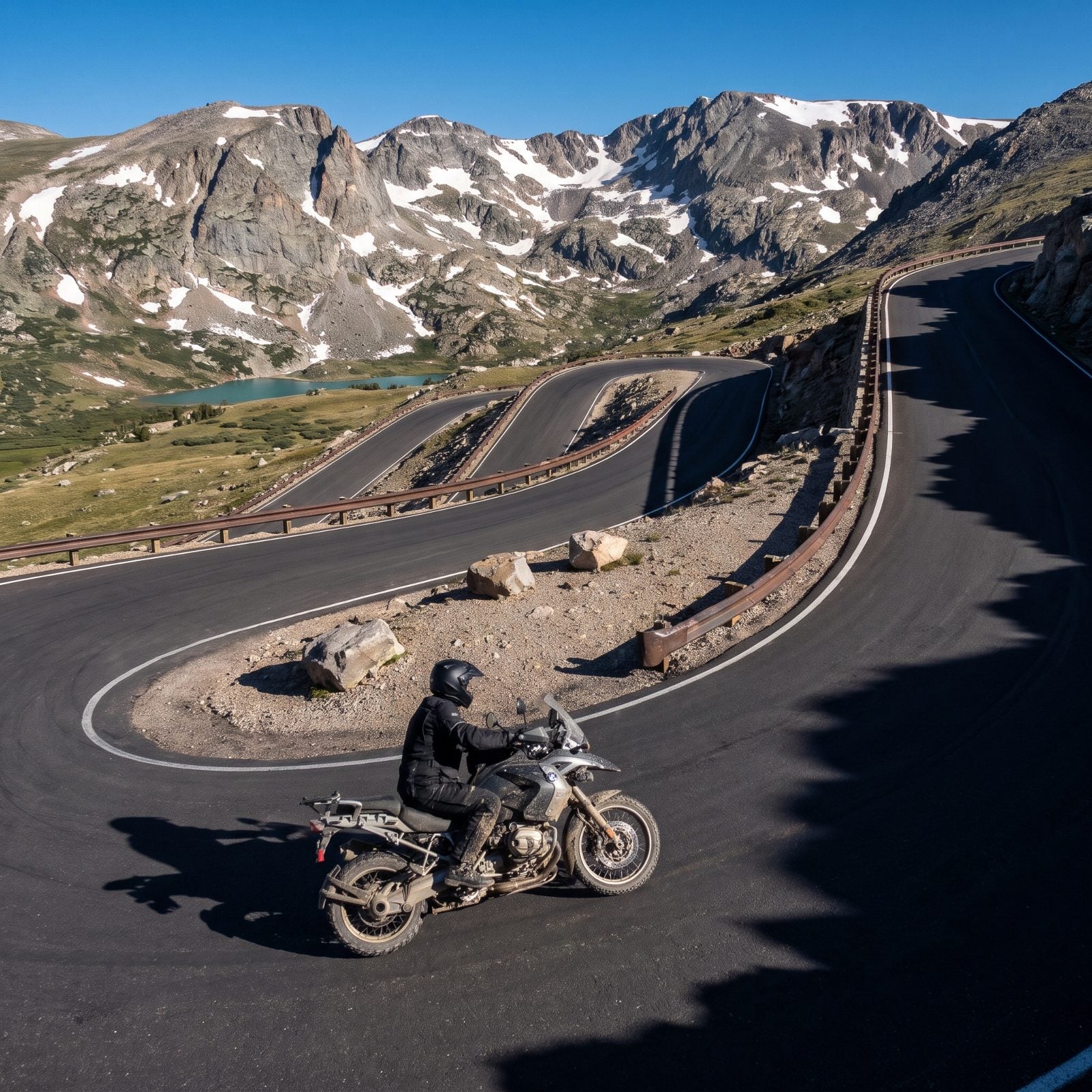
This is the one riders plan whole summers around, and for good reason. The Beartooth tops out near 10,947 feet at the summit, the highest paved road in the Northern Rockies. String it together with the Chief Joseph Scenic Byway and you get a loop that spills out of alpine tundra into river canyon in the space of an afternoon.
Nobody warns you about the cold until you’re shivering in it. The window runs roughly late May into mid-October, and even in July a storm can gut the temperature on the pass while it’s shirtsleeves down in the valley. Pack the layers you swear you won’t touch. You’ll touch them.
Charles Kuralt called it the most beautiful drive in America. He wasn’t exaggerating, and he wasn’t even on two wheels.
1. North Carolina, The Tail of the Dragon at Deals Gap, 318 Curves in 11 Miles
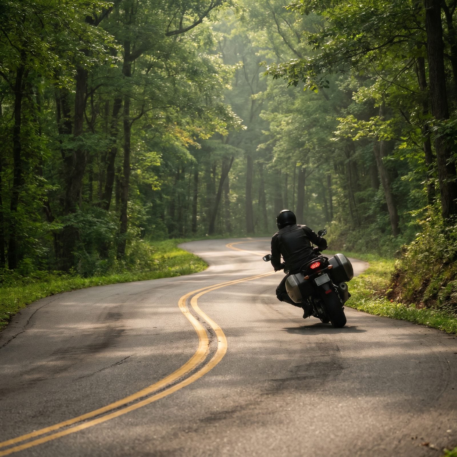
Eleven miles. 318 curves. No intersections, no driveways, no reason to be out here except the road itself, and it has earned every bit of the hype riders have been handing it for decades.
People get it wrong by treating the Dragon like a racetrack. It isn’t one. You’re sharing a public two-lane with log trucks, rental convertibles crawling along at the wrong speed, and photographers tucked in the trees who will absolutely sell you the evidence afterward. Ride your own pace. The curves aren’t going anywhere.
Base yourself at Deals Gap Motorcycle Resort on the North Carolina end, and go on a weekday if you can swing it. Weekends and fall color season turn the road into a slow parade, which kind of ruins the whole thing.