
Most American streets were drawn for the car and nothing else. Try running errands on two wheels in a typical suburb and you learn fast that the shoulder vanishes right where you need it most. A handful of places flipped that script. Some built the paths first. Some banned cars outright. Some ran a greenway straight through downtown and let the shops crowd up against it, and in these towns biking to the hardware store or the coffee shop isn’t a political statement or a workout — it’s just the easy way to go. Here are the ones worth knowing about.
Please note that some of the images in this article were created with the assistance of AI.
32. Peachtree City, Georgia, Bike the Golf-Cart Path Network That Reaches Everything
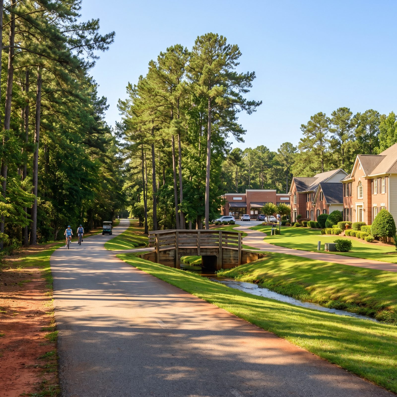
Peachtree City was planned around golf carts, and that turned out to be a gift for anyone on a bicycle. Dozens of miles of paved paths wind through the whole town, ducking under the roads instead of crossing them, so you rarely stop for traffic. Kids ride them to school, retirees ride them to the grocery store, and the same network carries carts and bikes alike without anyone thinking twice.
The real trick is the grade separation. Tunnels and bridges keep you off the main arteries, and you can cross town without ever touching a car lane.
31. Sunriver, Oregon, A Resort Village Where the Bike Paths Came First
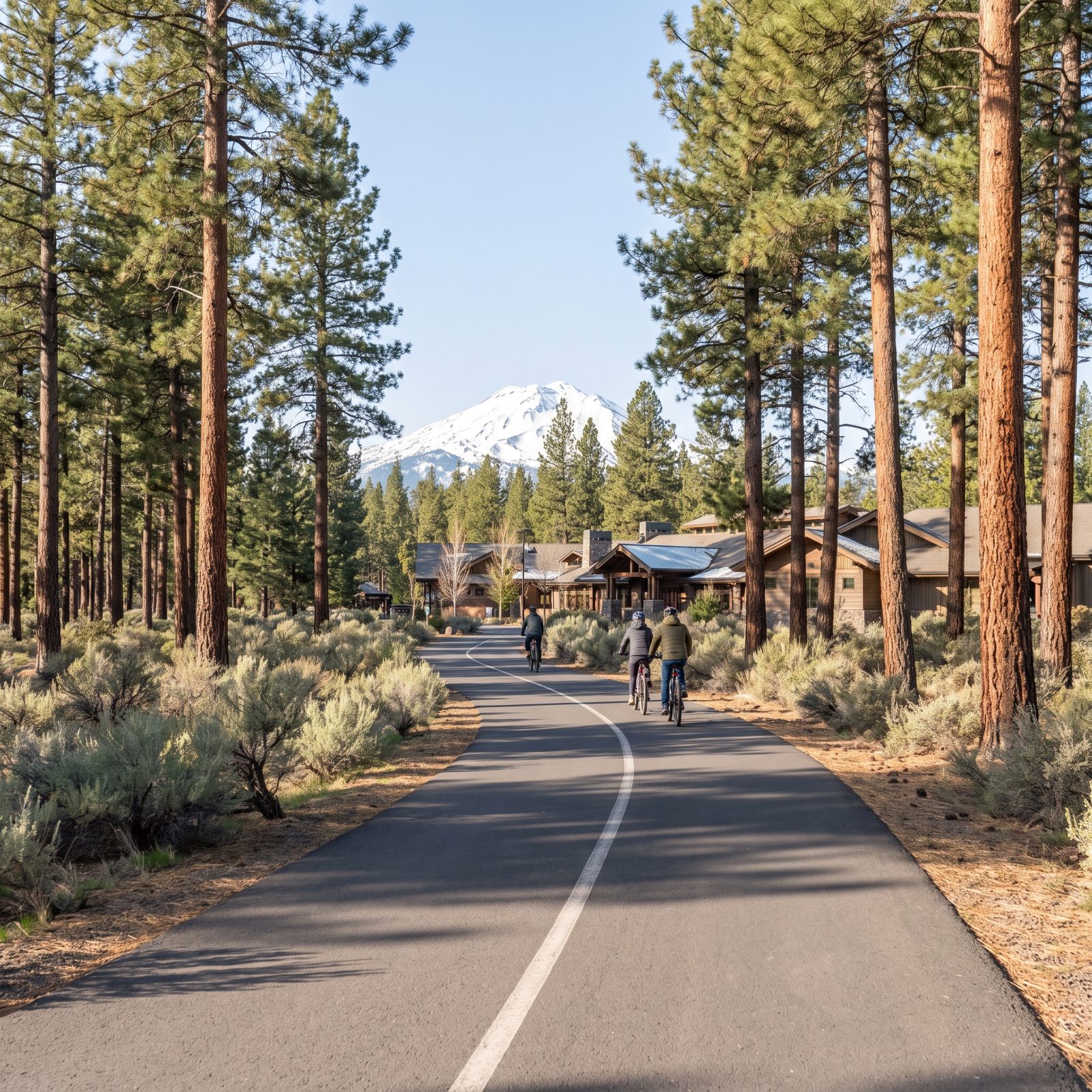
Sunriver sits in Oregon’s high desert, and its entire layout bends around a paved path system that runs for miles. The paths came before most of the traffic, so you can get from a rental cabin to the village shops, the marina, or the Deschutes River without starting an engine.
What surprises first-time visitors is how ordinary it all feels. Grab coffee, swing by the market, loop back home. The ponderosa pines and mountain views are just a bonus riding on top of plain usefulness.
30. The Woodlands, Texas, Forested Pathways Tie the Villages Together
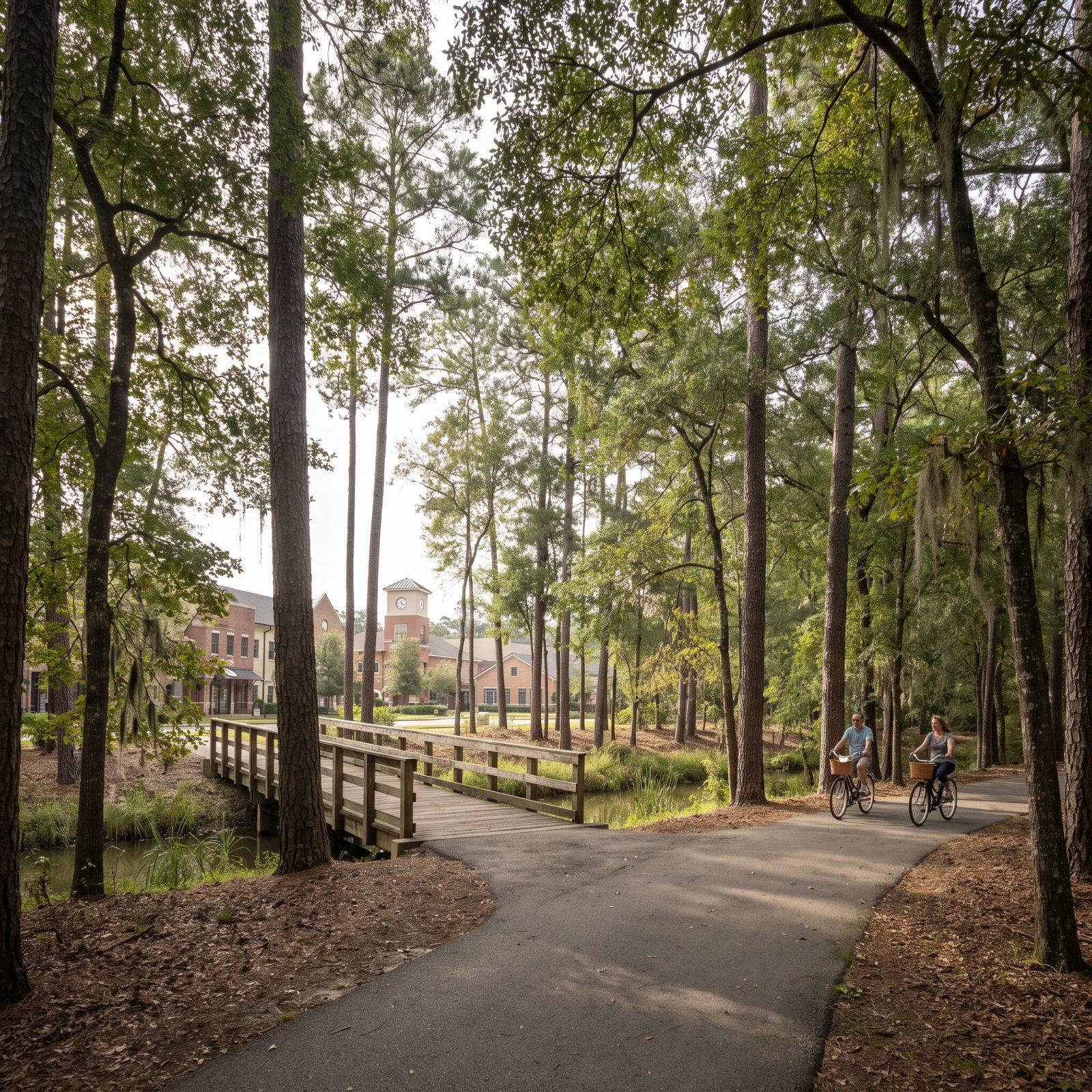
Mile after mile of pathway runs beneath the tree canopy here. The Woodlands kept its forest on purpose, and the trails thread through it, linking villages, schools, and shopping centers without dumping you onto a six-lane feeder road.
The shade matters more than people expect. In a Texas July, a path under full pine canopy is the difference between a pleasant ride and a sweat-soaked slog. The network reaches parks, the waterway, and the Town Center, so a bike can knock out a real list of errands.
29. Columbia, Maryland, Village Pathways Built Into the Original Plan
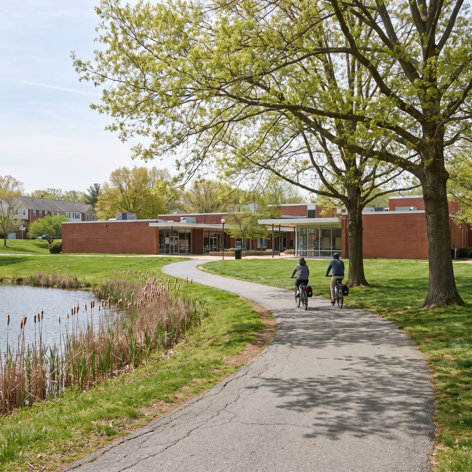
Columbia was a planned city from day one, and the planning included a pathway system before a single house went up. Those paths connect the residential villages to the lakes, the village centers, and the shops, which means a lot of daily trips never require a car.
It isn’t flashy. The paths are practical, well-worn, and genuinely useful — the kind of infrastructure that only works because somebody drew it on the map first and then shaped the neighborhoods to fit it.
28. Mackinac Island, Michigan, No Cars Allowed, So the Bicycle Rules
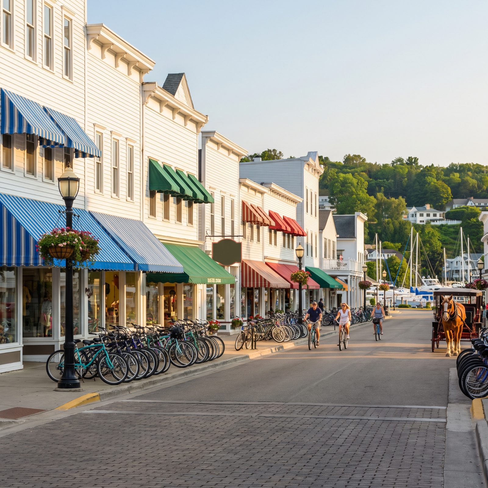
Mackinac Island banned motor vehicles back in 1898, and the ban never lifted. No cars means the bicycle isn’t an alternative here — it’s the default. Groceries, luggage, mail, and people all move by bike or horse-drawn wagon.
A paved road rings the whole island with Lake Huron on one side the entire way. Ride it once and the appeal is obvious. The absence of engine noise changes the sound of a town more than anyone expects.
27. Hilton Head Island, South Carolina, Beach Paths That Double as Errand Routes
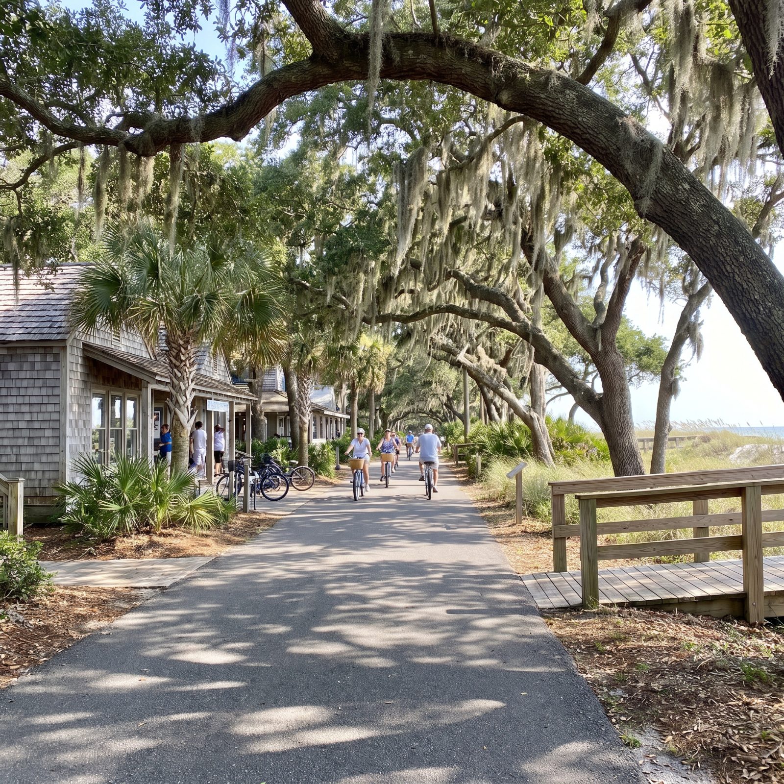
Hilton Head wraps the whole island in a leisure-path network that reaches the beaches, the shopping centers, and the resorts. It’s flat, which anyone over 40 will appreciate, and the live oaks keep most of it shaded.
The paths pull double duty. Tourists use them to reach the sand while residents use them to run the errands they’d otherwise drive. Build beach access and grocery access into the same ribbon of pavement, and you’ve done something smart.
26. Winter Garden, Florida, The West Orange Trail Runs Straight Through Main Street
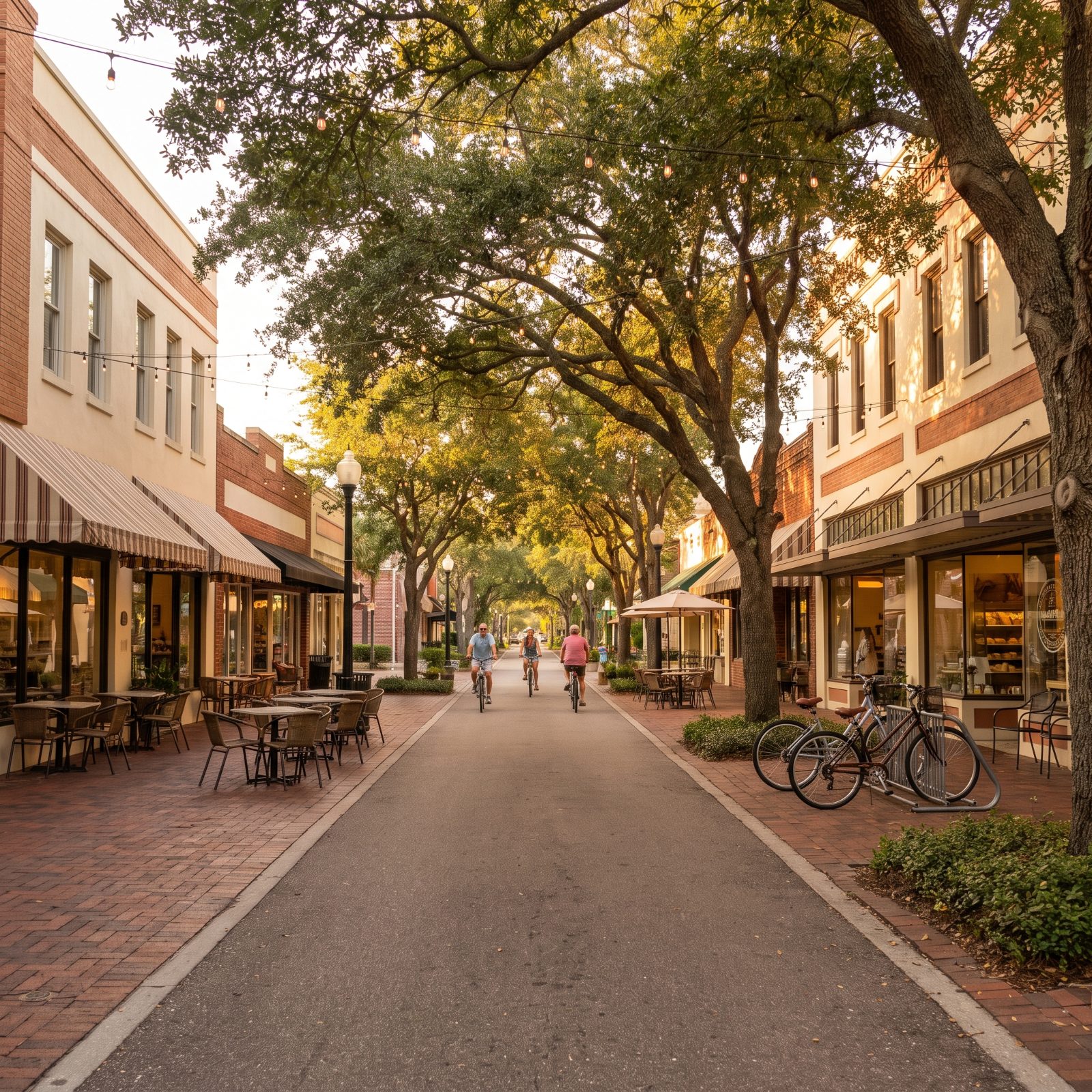
Most rail-trails skirt the edge of town. The West Orange Trail cuts right down the middle of Winter Garden’s main street, and the downtown grew up around it. Restaurants put tables beside it. Shops hang their signs to be read from a bike seat.
You roll in off the trail, lean the bike against a rack, and there’s the farmers market. Rare in Florida, where most towns surrendered their centers to parking lots decades ago.
25. Dunedin, Florida, The Pinellas Trail Acts as the Town’s Bike Boulevard
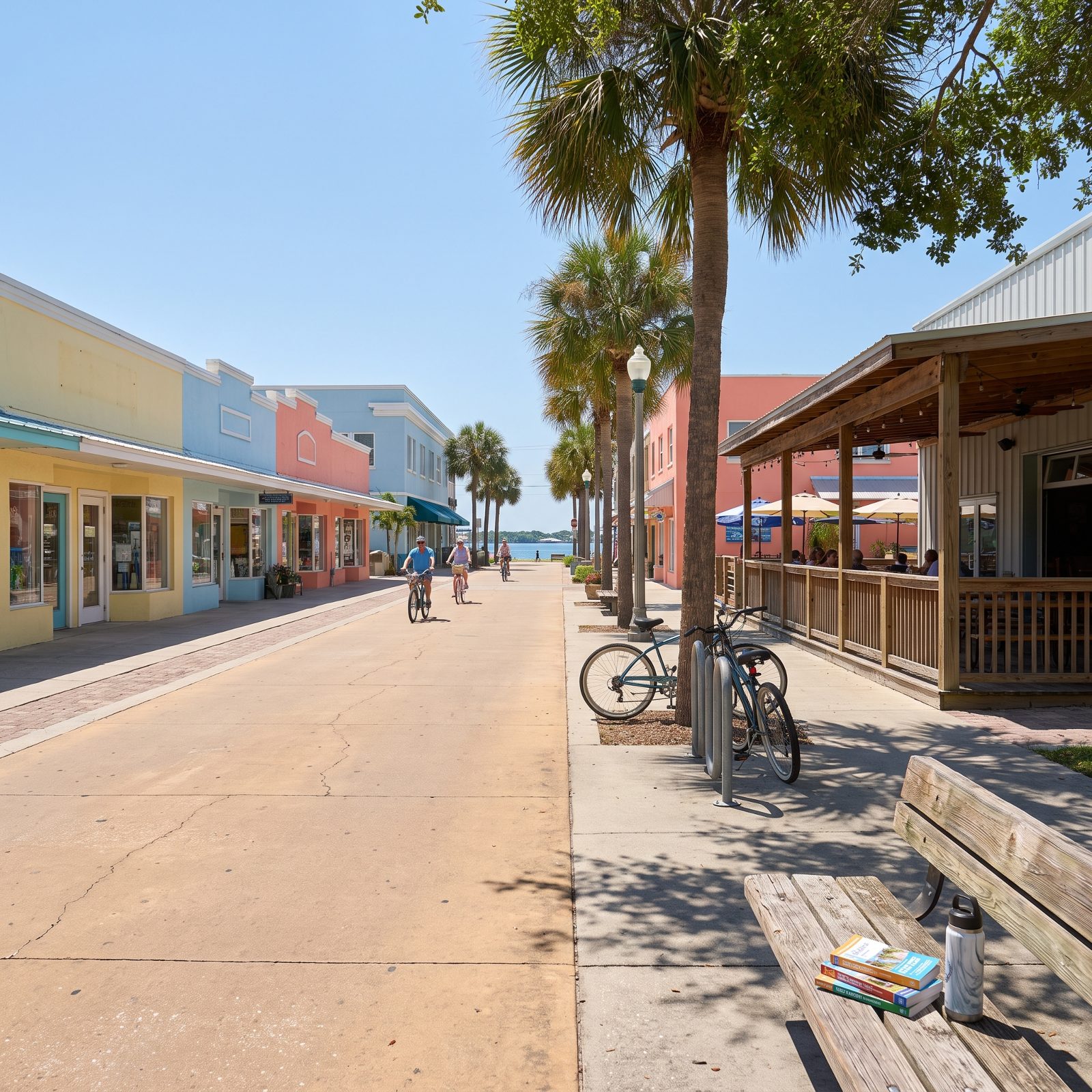
The Pinellas Trail runs through the heart of Dunedin, and the town treats it like a main street for bikes. Breweries, cafes, and shops queue up along it, close enough that you never need to touch a road to reach them.
Dunedin leaned into it hard. The downtown is compact, walkable, and built for people who show up on two wheels rather than four. On a weekend the trail carries more traffic than some of the streets do.
24. Carmel, Indiana, The Monon Greenway Spines the Entire Downtown
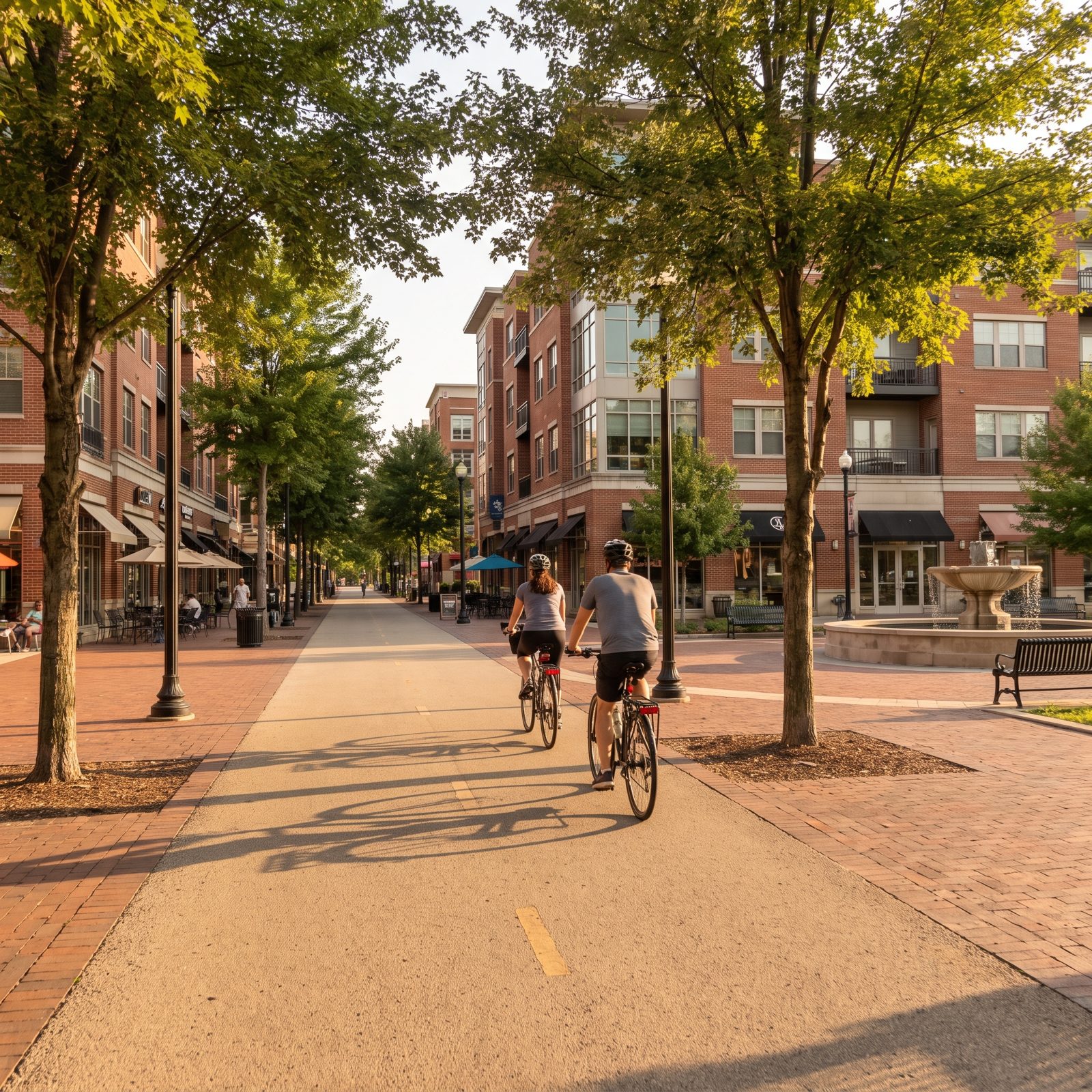
Carmel bet its whole downtown on a trail. The Monon Greenway, built on an old rail corridor, runs straight through the center of town, and the city deliberately stacked apartments, shops, and restaurants right up against it.
The result reads like a European town center dropped into suburban Indiana. People live along the greenway, work along it, and ride it to dinner. Throw in Carmel’s famous roundabouts keeping car speeds down, and the whole place tilts toward the bike in a way Midwestern suburbs almost never do.
23. Blacksburg, Virginia, The Huckleberry Trail Links Campus, Shops, and Home
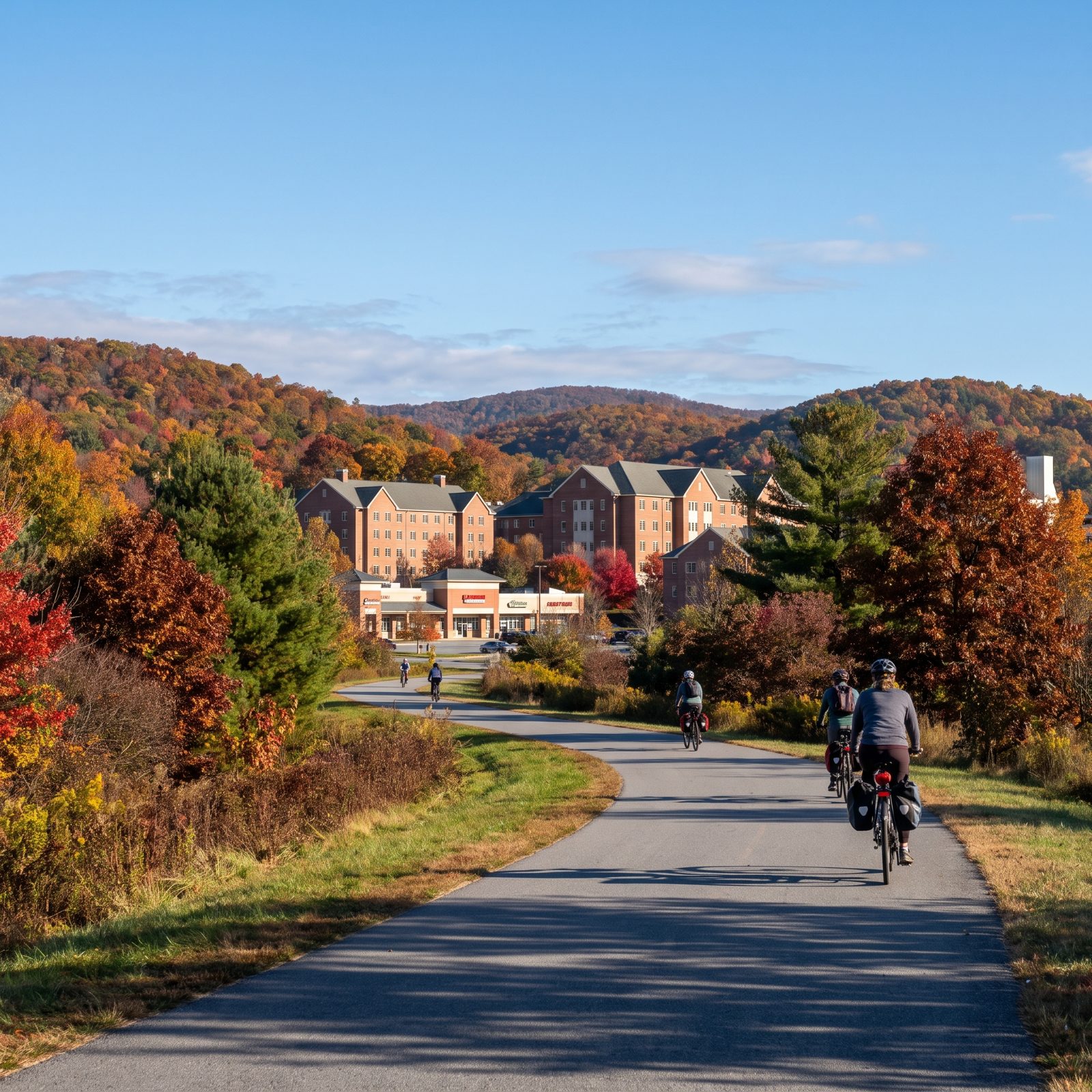
The Huckleberry Trail connects Virginia Tech’s campus to the shops, apartments, and neighborhoods spread across Blacksburg and on into Christiansburg. For a college town tucked into the Blue Ridge, that’s a seriously useful spine.
Students ride it to class. Residents ride it to the store. The grades stay gentle for mountain country, and the fall color along it is worth the trip all by itself. A trail that serves both a campus and a downtown earns its keep year-round.
22. Northampton, Massachusetts, Where Three Rail-Trails Meet a Downtown You Can Actually Reach
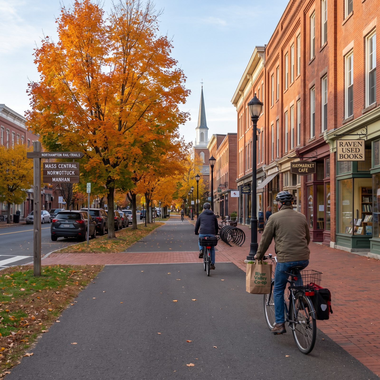
Three rail-trails feed into one small city, and that’s the part most people miss. The Norwottuck, the Manhan, and the Northampton Bikeway don’t just dead-end at some park — they spill you straight into a downtown thick with bookstores, bakeries, and a farmers market you can load into a pannier and pedal home.
The grades are gentle because trains laid them, and that matters more at fifty than any of us want to admit. You can run errands here without ever touching a stroad, and plenty of residents do exactly that. Groceries bungeed to the rack, no parking meter in sight.
21. Telluride, Colorado, A Box Canyon So Compact the Bike Beats the Car
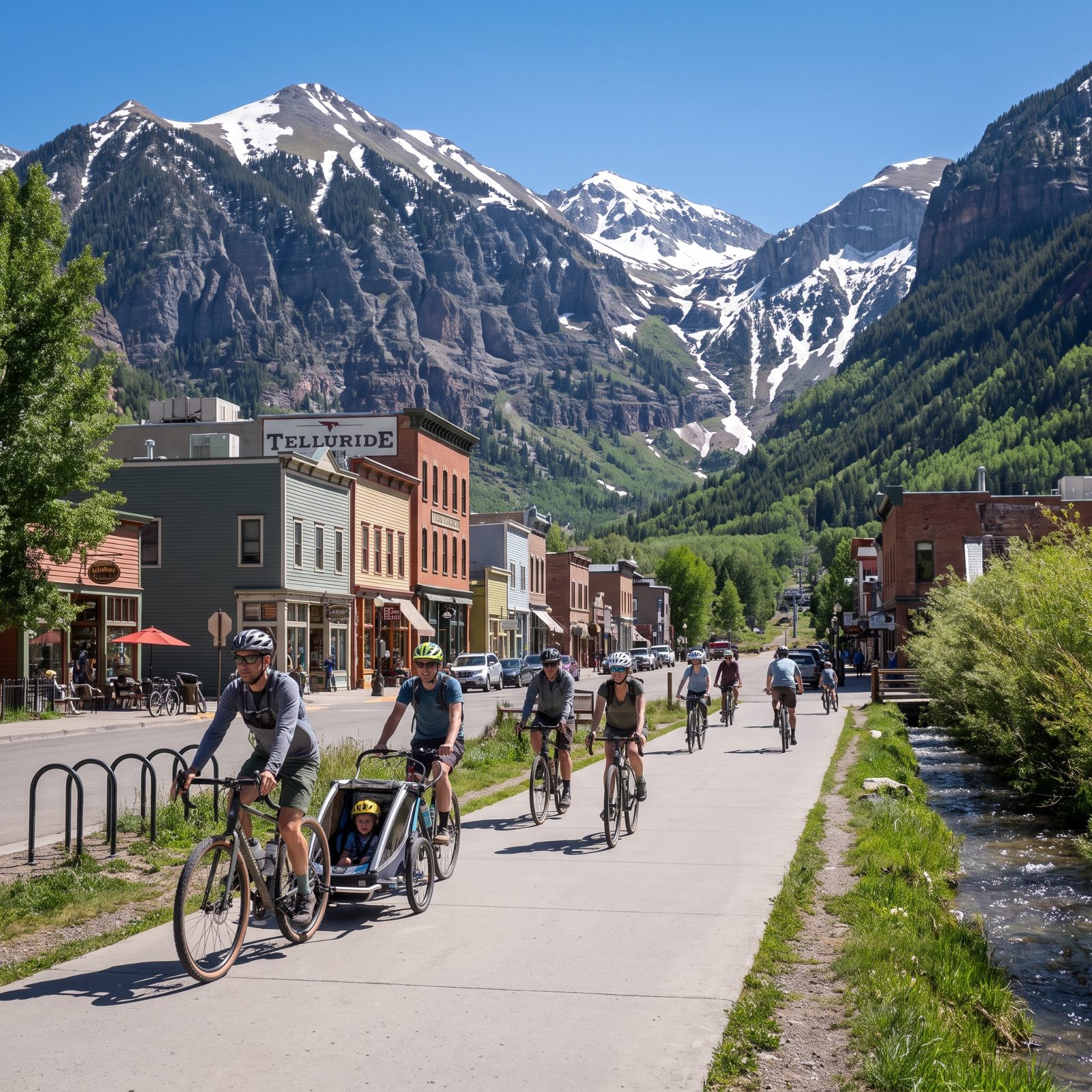
Telluride sits on a valley floor roughly a dozen blocks wide, hemmed in by cliffs on three sides. There’s nowhere to sprawl, and that’s the whole trick. The town is so tight that a bike covers it faster than driving does, once you factor in the time you’d spend hunting for a spot.
The paved river trail links Telluride to Mountain Village, and the free gondola handles the steep part when your legs quit. Groceries, the post office, dinner — all of it fits inside a flat, walkable grid you could ride in street shoes. Cars here feel like a formality nobody really needs.
20. Jackson, Wyoming, Pathways That Run From the Town Square to a National Park
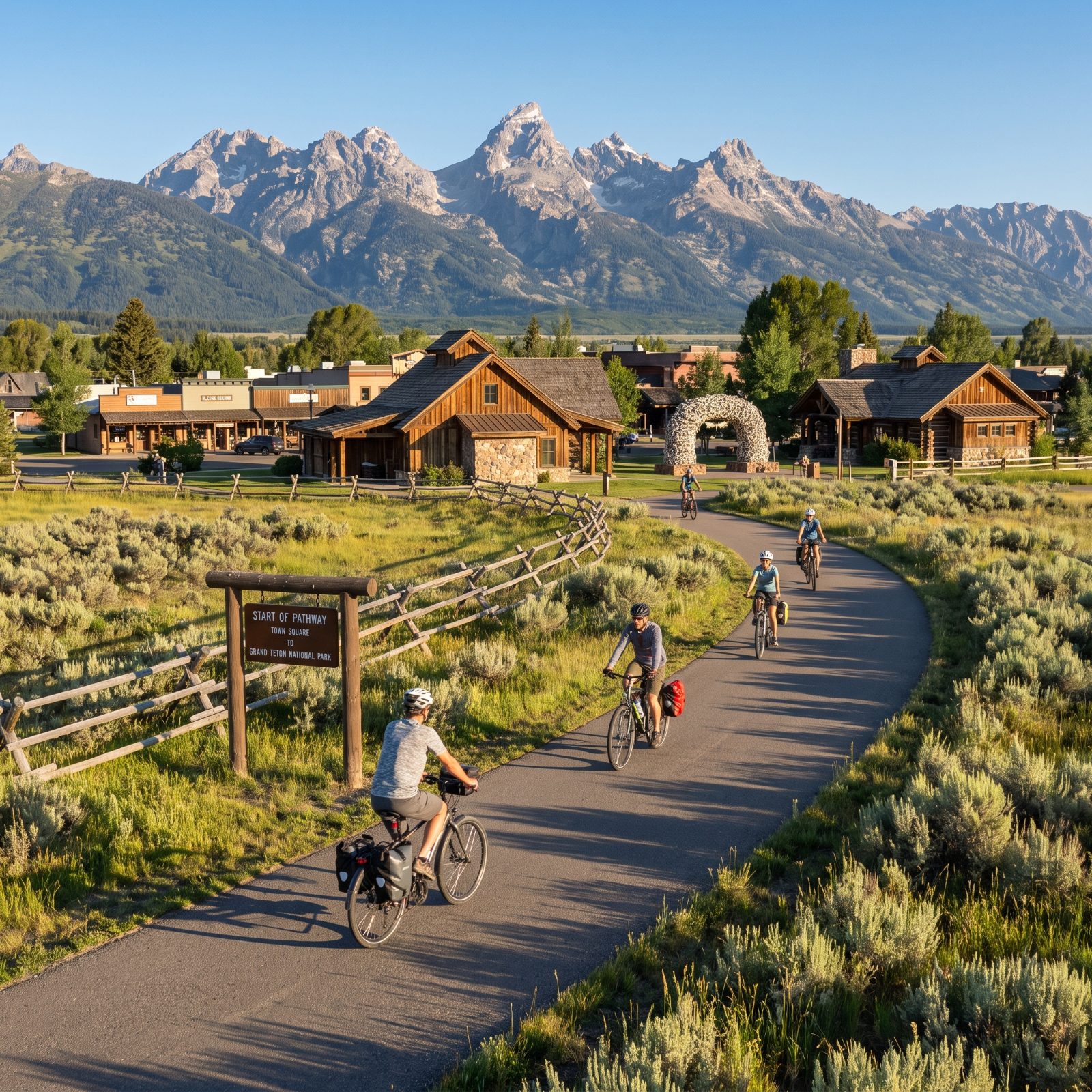
Not many towns let you ride a protected path from a burger joint to a national park boundary. Jackson does. The pathways system threads from downtown out toward Teton Village and connects into Grand Teton, so a day trip into the park can start with your bike and skip the parking circus entirely.
The paths are paved, physically separated from traffic, and graded for everyday riders rather than racers. That last bit counts. Pack a lunch, a camera, and a jacket, and you can still make it back for dinner on the square.
19. Durango, Colorado, The Animas River Trail That Cuts the Whole Town in Half
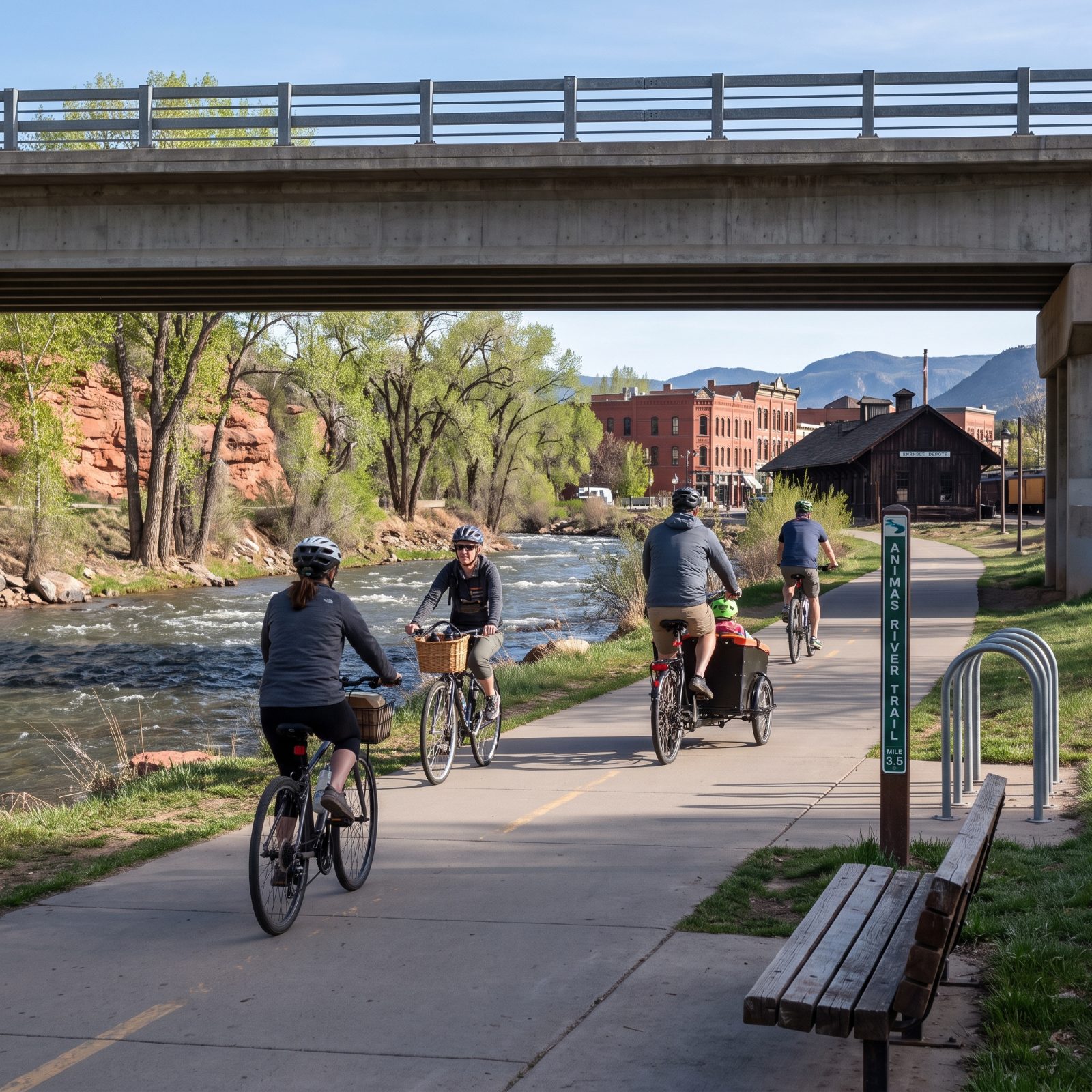
The Animas River Trail does one simple thing well. It runs the length of Durango along the water, so you can get from one end of town to the other without fighting Main Avenue. Underpasses carry it below the busy road crossings — that’s the detail that turns a nice path into an actual commuting route.
Students, shoppers, and plenty of locals use it as a spine. Branch off and you reach downtown, the college, or the trailheads. It’s the rare bike route that solves distance instead of just handing you a pleasant loop.
18. Greenville, South Carolina, The Swamp Rabbit Trail Dumps You Right Into Downtown
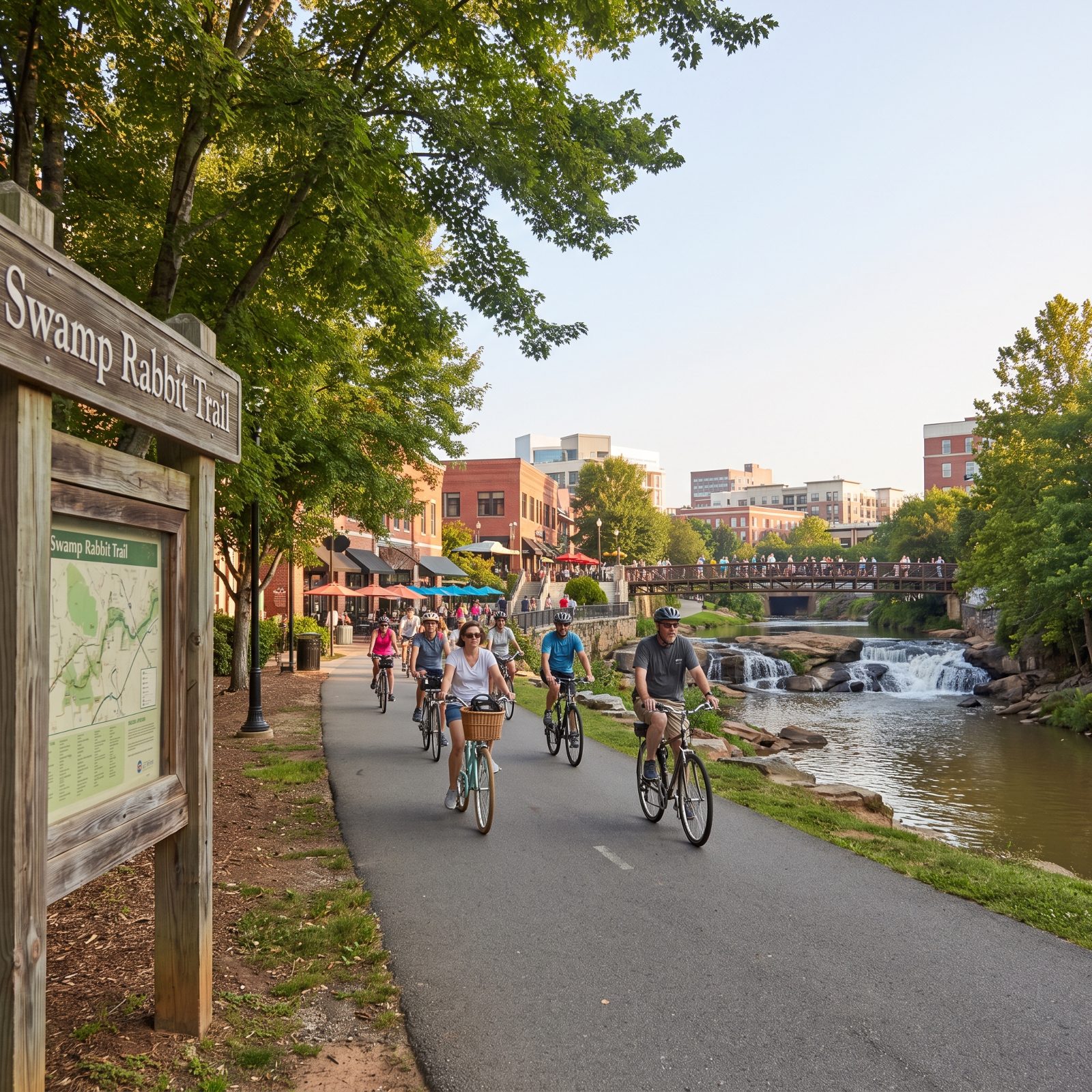
The Swamp Rabbit Trail gets the name right and the routing even better. It follows the Reedy River corridor and lands riders square in downtown Greenville, right by the falls, the restaurants, and a brewery district that practically grew up around the trail.
Businesses along it report steady traffic, and no wonder. People ride in for lunch, a beer, a market run. The thing connects neighborhoods and the college to the heart of the city on a flat, paved surface that asks almost nothing of a rider’s knees.
17. Bentonville, Arkansas, Where a Regional Greenway Runs Into Singletrack Downtown
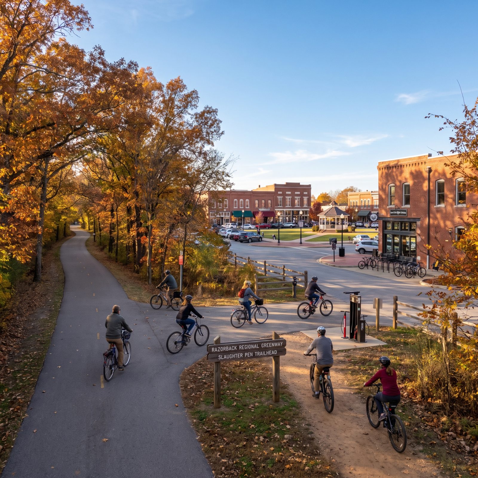
Bentonville pulled off something unusual. The Razorback Regional Greenway, a paved regional spine stretching across Northwest Arkansas, connects directly to a dense web of mountain-bike singletrack that reaches right up to the downtown square.
So the same bike that hauls you to a meeting can drop onto dirt a few minutes later. Few places blend errand and recreation this tightly. You can commute on pavement and still have real trails inside city limits — which probably explains why bike shops, cafes, and racks seem to sit on every block here now.
A town where the errand route and the trail map overlap is a rare thing, and Bentonville leaned all the way in.
16. Fayetteville, Arkansas, A Trail Network Tying Campus to Downtown and Back
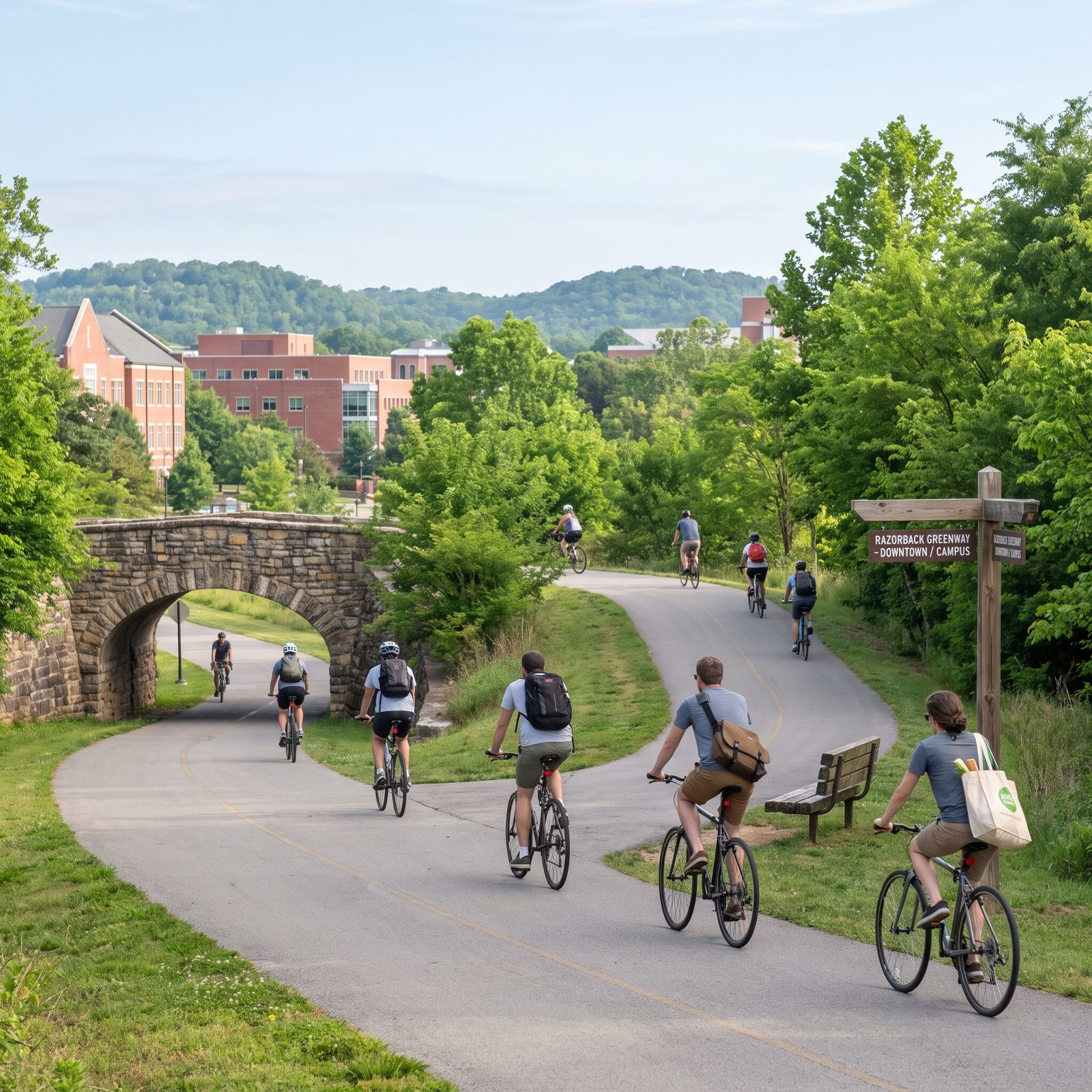
Fayetteville gets overshadowed by its neighbor up the greenway, but its own trail network does real work. Paths connect the university campus, the downtown square, and the surrounding neighborhoods, so a student or a worker can move between them without a car.
The terrain here is hillier than the flat Midwest rail-trails. Worth knowing before you load up with groceries. An e-bike earns its keep on these grades. The payoff is a town where the square, the campus, and home all sit on the same ribbon of pavement.
15. Missoula, Montana, River Trails and Bike Bridges That Stitch a City Together
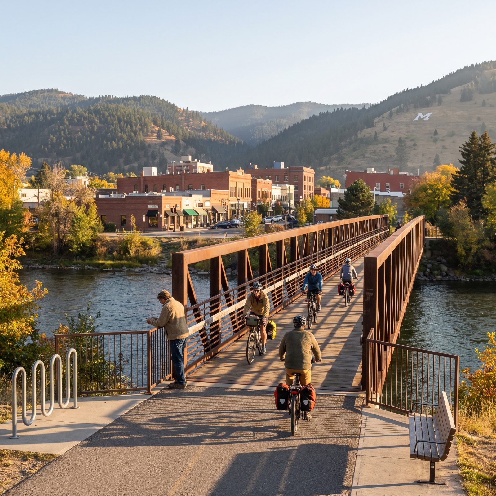
Missoula’s geography could have split it right in two, with the Clark Fork River running through the middle of everything. Instead the city built riverside trails and dedicated bike-and-pedestrian bridges that knit the halves back together.
Those bridges are the thing to notice. A span that doesn’t force you onto a car deck changes the whole calculation of riding across town. Downtown, the university, the neighborhoods — all connected on this system, and the river views are a bonus nobody complains about.
14. Boise, Idaho, The Greenbelt That Carries You Clear Across the City
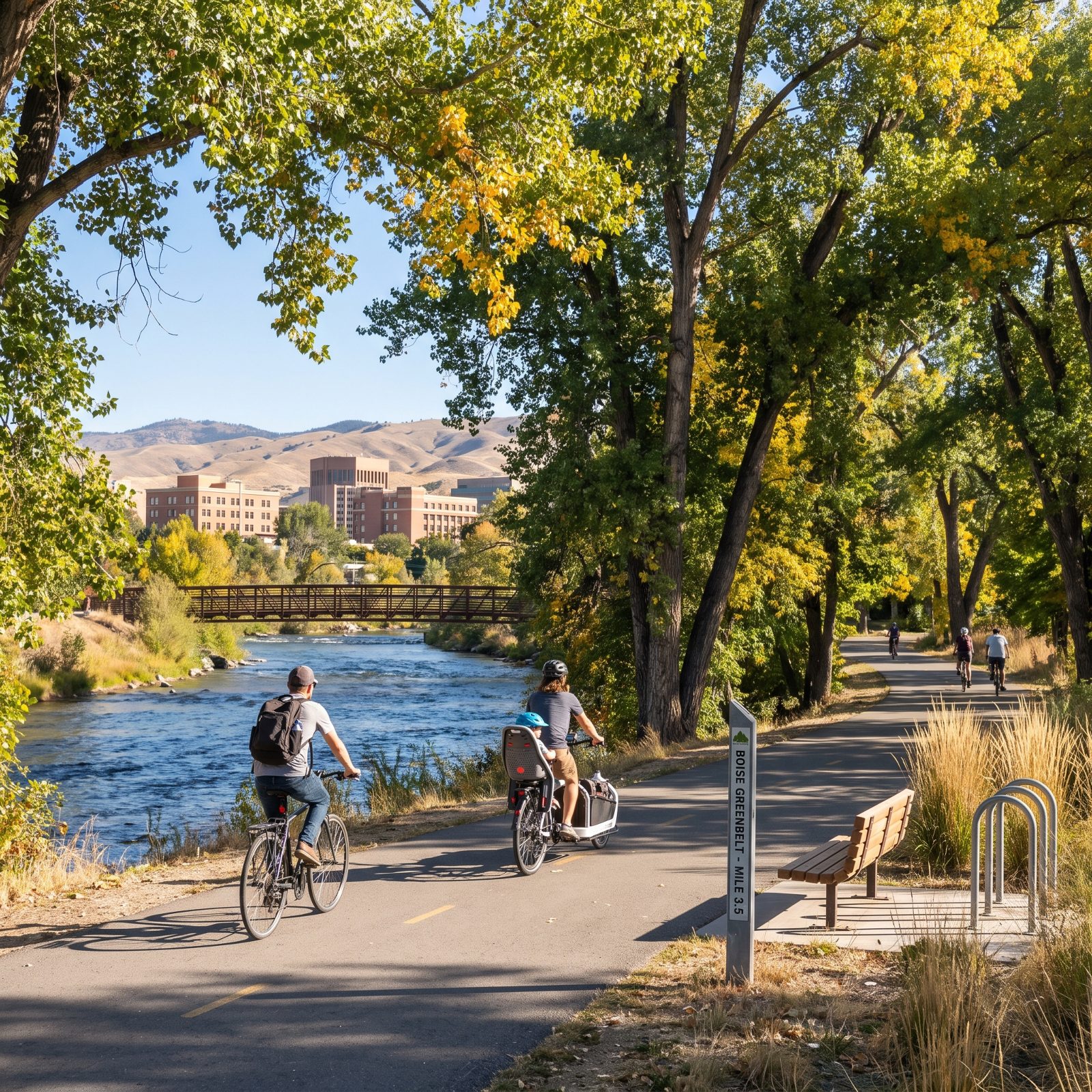
The Boise River Greenbelt runs for miles along the water, and that length is what lets it work as transportation instead of a glorified park loop. It threads through downtown, past the university, and ties together a string of parks, so you can cross much of the city without stopping at a traffic light.
Shaded by cottonwoods and flat beside the river, it’s forgiving on a hot day and easy on aging joints. Plenty of residents treat it as their daily commute. It’s the kind of car-free spine every growing city wishes it had built decades ago, back when the land was still cheap.
13. Burlington, Vermont, The Island Line Trail Out Over Lake Champlain
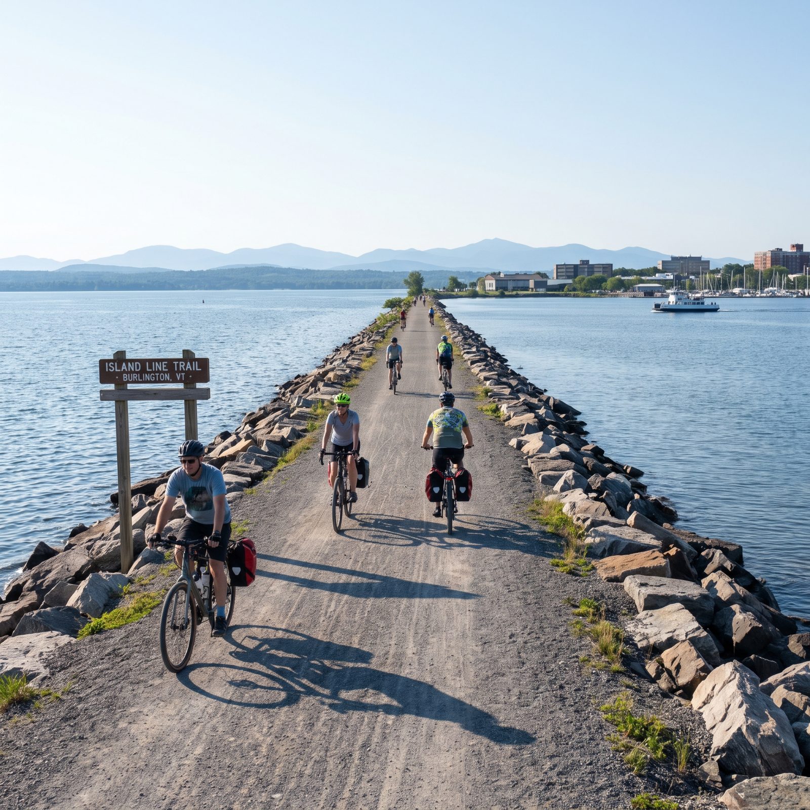
The Island Line Trail starts at the Burlington waterfront and does something few trails can claim. It runs out onto a narrow causeway built straight across Lake Champlain — water on both sides, mountains hazy in the distance.
Closer to town it’s pure utility, linking the waterfront, downtown, and the lakeside neighborhoods on a flat, protected path. Ride far enough and a seasonal bike ferry carries you across a gap toward the islands. Near the city core it’s the most practical trail on this list; once you clear it, the most scenic. Hard to beat that combination.
12. Corvallis, Oregon, Neighborhood Bikeways Make Campus and Downtown Easy to Reach
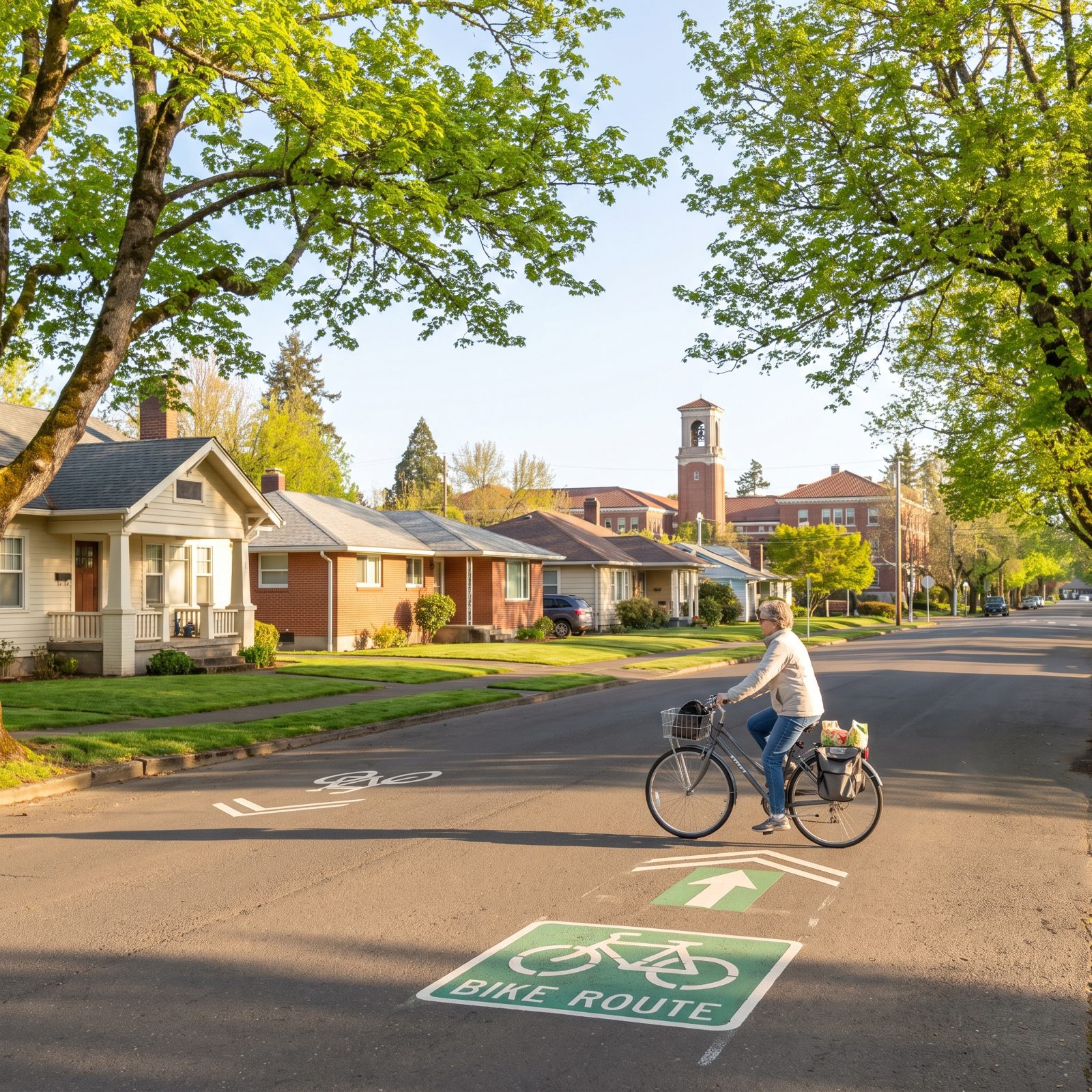
Corvallis punches way above its size. A town of maybe sixty thousand running one of the better neighborhood bikeway networks anywhere, calm residential streets re-striped so cyclists get priority and through-traffic gets shoved elsewhere.
The payoff is simple. A student, a nurse, a retiree can roll from a quiet subdivision to the Oregon State campus or the downtown riverfront without ever fighting a four-lane arterial. Gentle terrain helps, and so does the compact shape of the place, where most daily errands sit within three or four miles.
11. Eugene, Oregon, Riverbank Trails and Bicycle Bridges Bypass Busy Roads
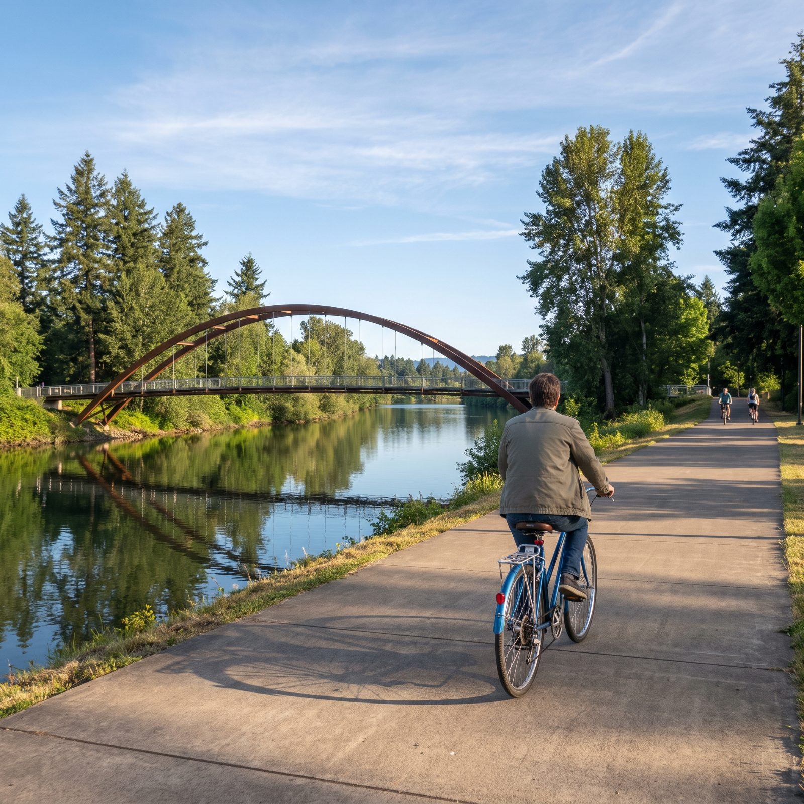
The Willamette and its paths do the heavy lifting here. Eugene threads much of its bike network along the riverbanks, which keeps the good routes entirely away from engine noise and stoplights.
Several dedicated bike-and-pedestrian bridges stitch the two sides of the river together, so a rider crosses without ever merging into car traffic. And that’s the detail most people overlook when they picture bike commuting. It isn’t the lanes that scare folks off. It’s the intersections and the bridges, and Eugene mostly solved both.
Flat, green, wet a good chunk of the year. Fenders are not optional.
10. San Luis Obispo, California, The Railroad Safety Trail Links Campus and Downtown
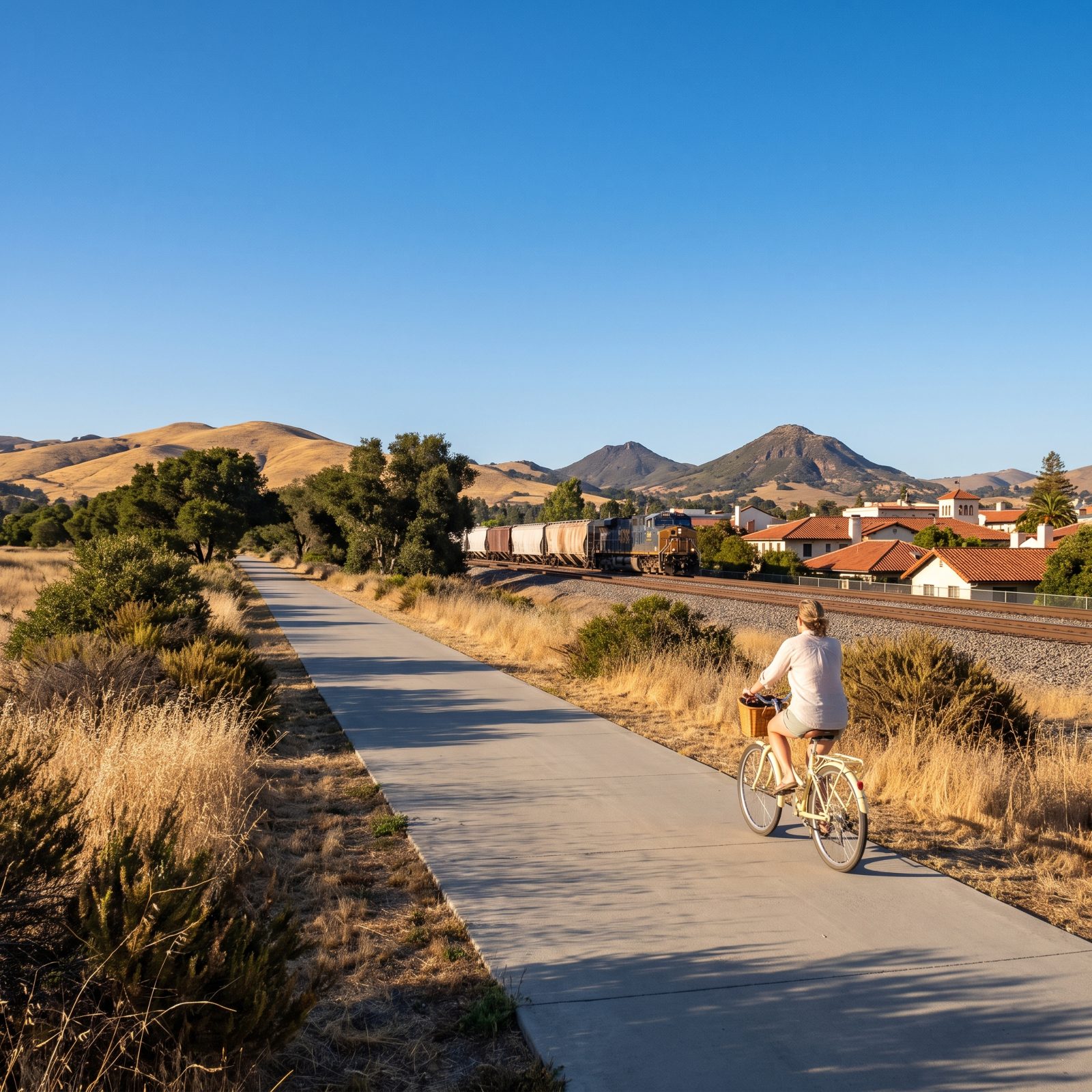
The Railroad Safety Trail is the spine most people in SLO don’t realize they’re leaning on. It runs beside the old rail corridor, linking the Cal Poly campus to the heart of downtown on one continuous, low-stress path.
What makes it work is directness. Students and workers get a straight shot that skips the busiest surface streets entirely. The town is small enough, and the climate forgiving enough, that a bike genuinely competes with a car for most trips under a few miles. Parking downtown is tight and pricey. The trail quietly settles that argument for you.
9. Alexandria, Virginia, The Mount Vernon Trail Links Old Town With the Capital Region
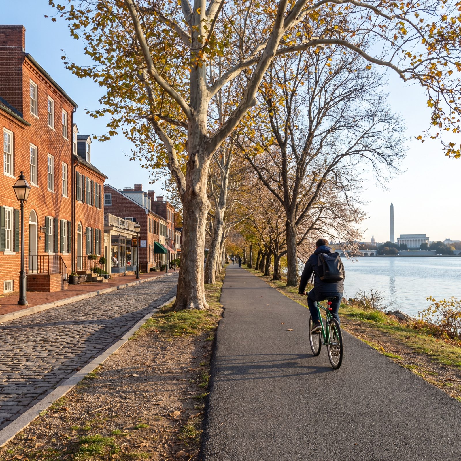
You’ve seen the Mount Vernon Trail on a postcard without ever catching its name. It hugs the Potomac for miles, and the Alexandria stretch turns a historic colonial town into a serious car-free launch point.
From Old Town’s brick-paved streets, a rider reaches the airport, Arlington, and the monuments of D.C. without touching a highway. For federal workers and commuters, that’s no weekend novelty. It’s a daily alternative that beats stewing on the GW Parkway.
8. Somerville, Massachusetts, The Community Path Provides a Car-Free Cross-Town Spine
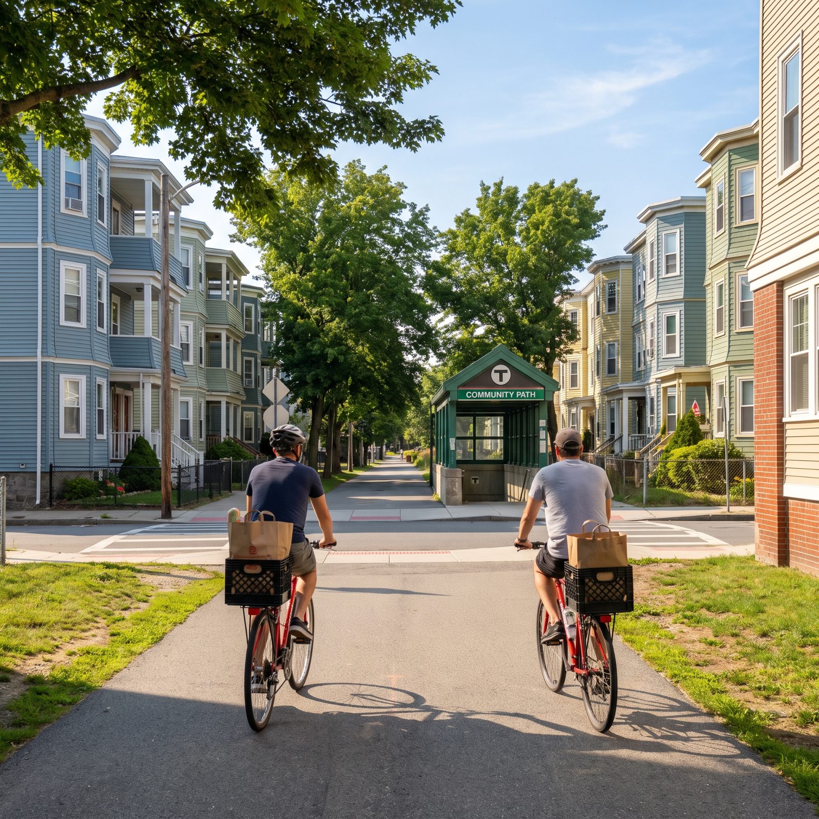
Somerville is dense. One of the most crowded cities in New England, and that crowding is exactly why a car-free spine matters so much here.
The Community Path runs straight through the middle of town, a former rail corridor repurposed into one continuous bike-and-walk route. Recent extensions tied it directly into transit stations, so a rider can chain a bike trip to a train and cover the whole region without ever touching a steering wheel.
In a place where parking a car is its own daily blood sport, the path isn’t a luxury. It’s the sensible call, and locals treat it that way.
7. Palo Alto, California, Bicycle Boulevards Connect Residential Areas With Major Job Centers
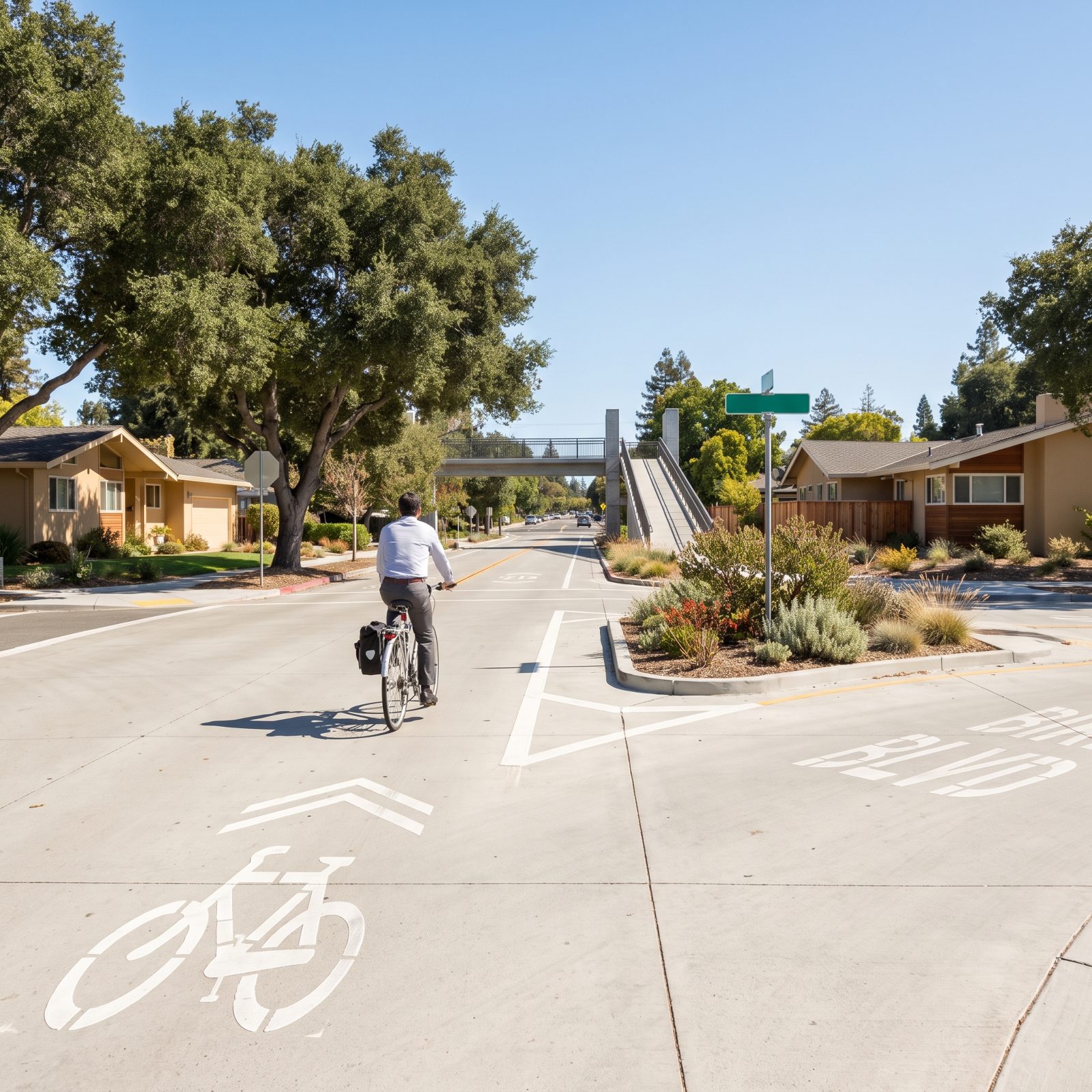
Palo Alto was doing this before most towns even had the words for it. Bicycle boulevards, residential streets engineered to favor bikes with diverters, signals, and grade-separated crossings, connect neighborhoods to the tech campuses where people actually work.
The clever part is the crossings. Underpasses and little bike bridges let riders skip the arterials and expressways that would otherwise end the trip cold. Flat terrain and dry weather handle the rest.
The town has run bike boulevards for decades, long enough that they feel less like infrastructure and more like the natural grain of the place.
6. Cambridge, Massachusetts, Protected Lanes Carry Riders Between Dense Neighborhood Centers
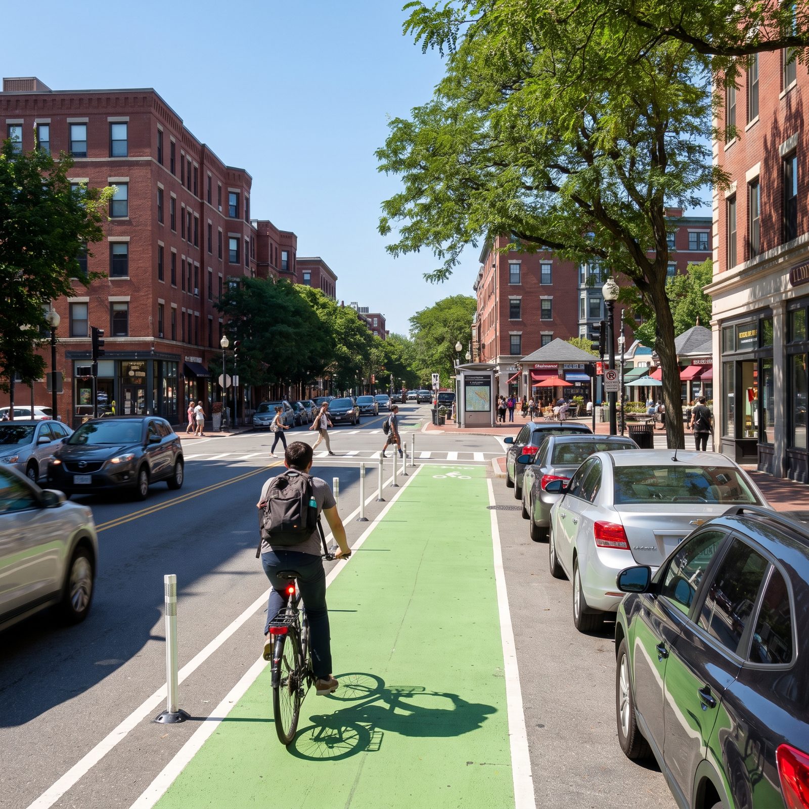
Cambridge made a bet most American cities still won’t. It committed, by ordinance, to building protected bike lanes whenever it reconstructs a street, so the network keeps growing whether any single project is popular or not. Gutsy, honestly.
The result is a web of separated lanes linking Harvard Square, Central, Kendall, and the neighborhoods between. Dense, short-distance, transit-rich, Cambridge is the kind of place where a bike beats a car door to door more often than drivers want to admit.
5. Fort Collins, Colorado, Low-Stress Routes and Trails Reach Most Parts of the City
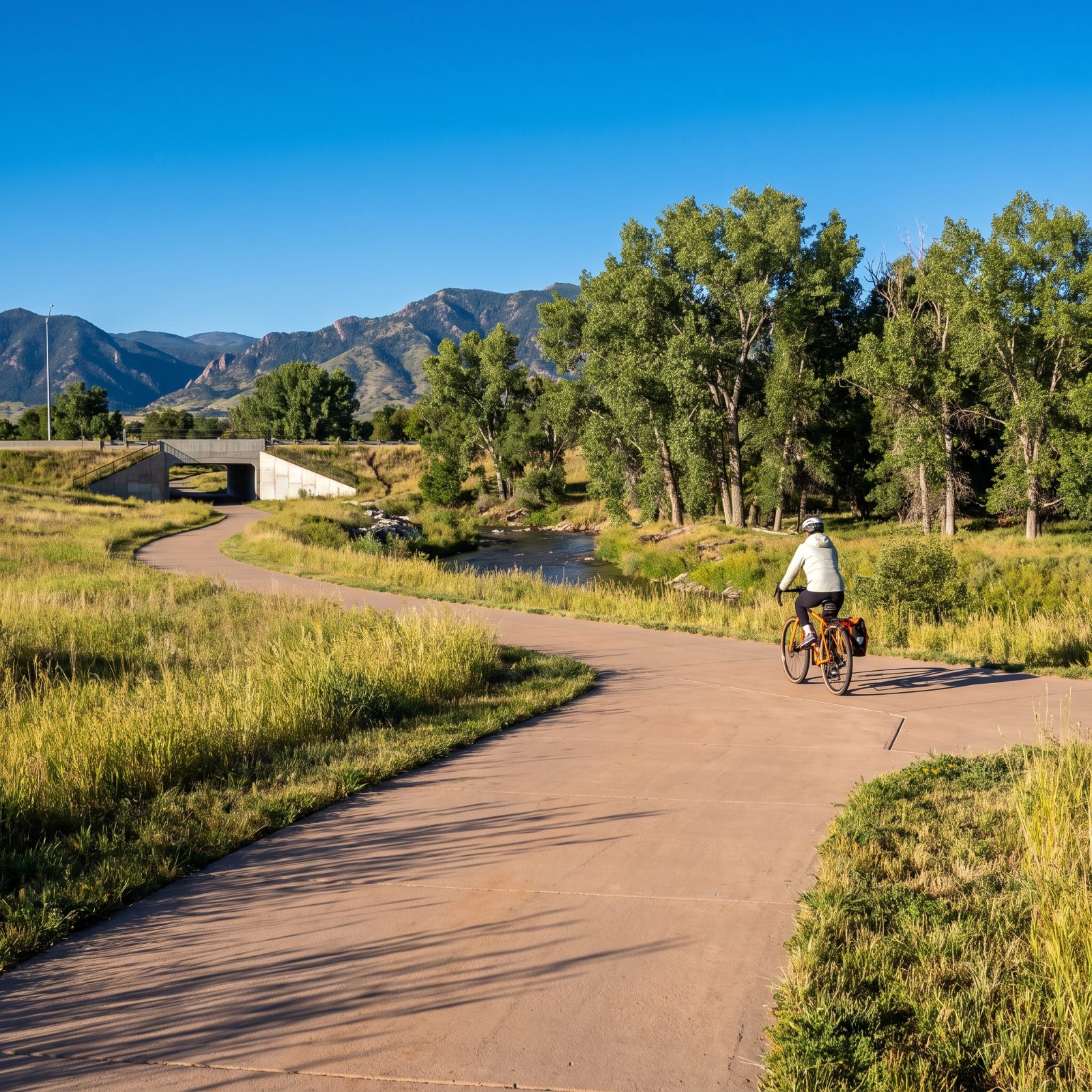
Fort Collins figured out the thing that stops most people from biking: the scary part isn’t distance, it’s stress. So the city maps and maintains low-stress routes that let riders cross town while dodging the worst of the traffic.
A spine of paved trails along the creeks and old corridors, stitched together with underpasses, reaches most neighborhoods, the Colorado State campus, and the breweries downtown. High-plains terrain stays mostly flat, and the sunshine budget is generous.
Platinum-rated for a reason, and the rating isn’t vanity. It shows up in how many people actually pedal to work.
4. Madison, Wisconsin, Causeway Trails and Lake Routes Provide Direct Bicycle Commutes
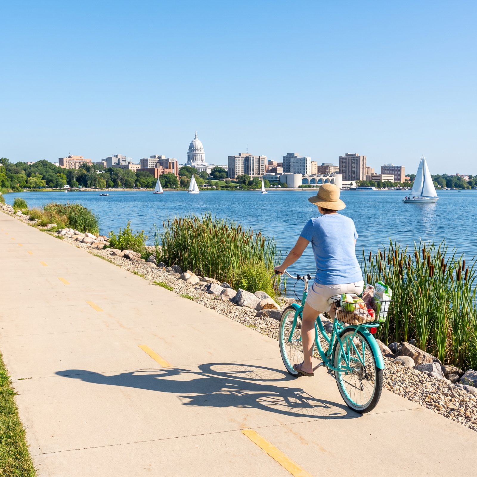
Madison sits on an isthmus, a narrow strip of land pinched between two lakes, which is a geographic headache for cars and a gift for bikes.
Causeway trails run right across the water, handing riders a direct, flat, traffic-free shot into downtown and the University of Wisconsin campus. When the land funnels everyone through the same narrow corridors, a bike path that cuts straight over a lake isn’t scenic fluff. It’s the shortest line between two points.
3. Minneapolis, Minnesota, Protected Bikeways and Former Rail Corridors Form a Citywide Network
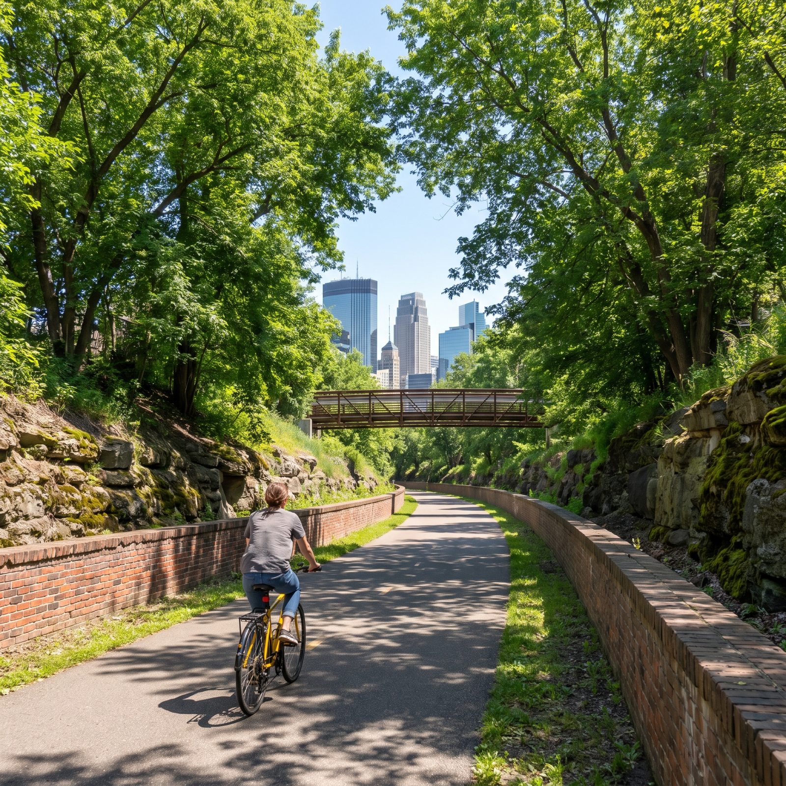
Minnesota winters and a national-best bike reputation don’t seem to belong in the same sentence. Minneapolis made them coexist anyway.
The backbone is a network of protected on-street bikeways tied to greenways carved out of old rail corridors, one of them running below grade so riders cross the whole city without a single stoplight. That trench is the model everyone else studies, a continuous car-free channel that moves real commuters, not just weekend riders.
Plenty of people here ride straight through the cold months, which tells you the network earns its keep. A city doesn’t plow bike trails in February for fun. It does it because enough people depend on them to make the diesel worth burning.
2. Boulder, Colorado, Creek Paths and Protected Lanes Keep Wheels Turning Year-Round
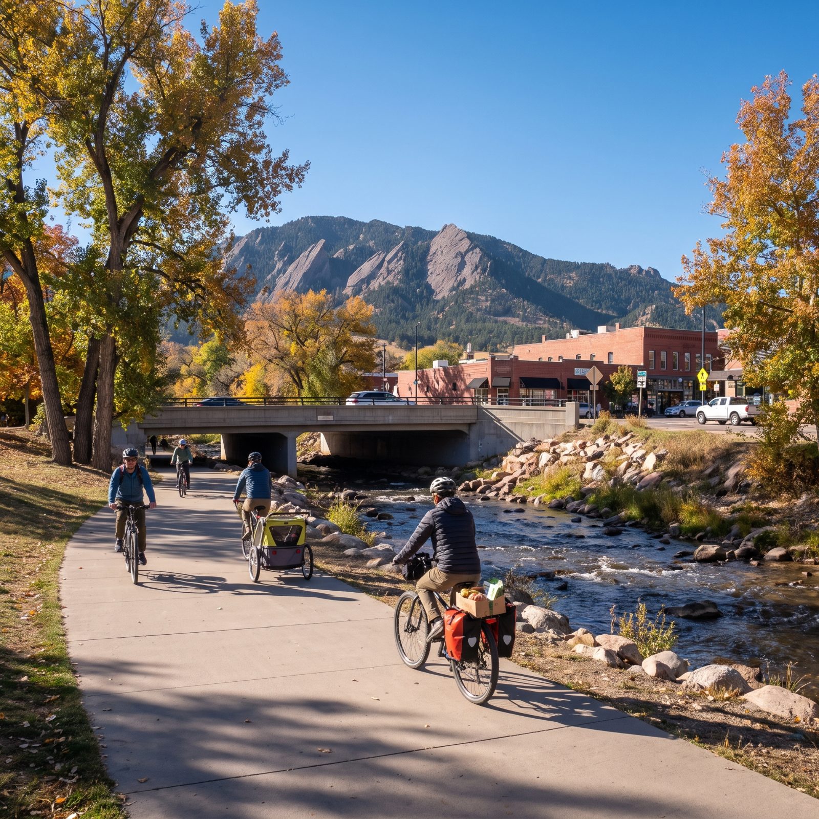
Golden cottonwoods overhead, the creek running beside the trail, and the path is already busy. Boulder treats its bikeways like roads that happen to be narrower, which is why people here ride through January instead of parking the bike the minute October turns cold.
The Boulder Creek Path is the spine — roughly seven miles of car-free pavement cutting straight through the center of town, linking the university, downtown, and the neighborhoods without a single stoplight to fight. Dozens of underpasses carry riders beneath the busy streets, so the trip downtown never becomes a series of nervous intersection crossings.
Layer the protected lanes on top of that creek system and you get a town where a grocery run, a commute, and a kid drop-off all happen on two wheels. Nobody here thinks any of it is brave.
1. Davis, California, Traffic Circles and Grade-Separated Paths Show What Fifty Years of Planning Buys
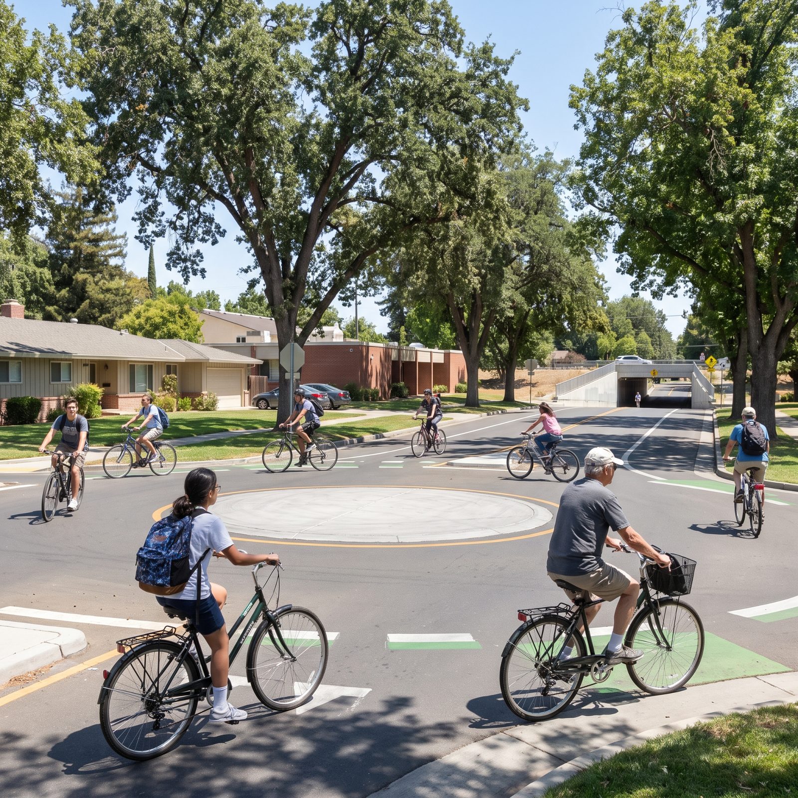
Davis didn’t stumble into being a bike town. It decided. Back in the 1960s the city started building around bicycles on purpose, and the result is a place where the bike is simply how you get around — not a hobby you squeeze in on weekends.
The flat valley floor helps, and so does the weather, but the real tell is the construction. Davis has grade-separated paths that dip under busy roads through tunnels, so a rider never has to gamble at a crossing. There are traffic circles built for bikes. The network is dense enough that you can cross most of town without sharing a lane with a car for more than a block or two.
Watch the intersections for an afternoon and you notice who’s riding: kids heading to school, people over 60 running errands, nobody dressed in racing gear. That’s the proof the planning worked. The bike stopped being equipment and became transportation.