

The map lies to you. It shows a thin blue line between two dots and swears it’s four hours. What it leaves out is the turnout where the fog peels back off the water, the diner that still makes pie from scratch, the pass where you grip the wheel tighter and feel completely alive. These are the roads that ruin you for interstates — the ones you plan a whole trip around and still wish you’d given two more days. So we pulled together the drives that earn the pilgrimage, with the viewpoints, the timing, and the stops that separate a good trip from one you talk about for years.
Please note that some of the images in this article were created with the assistance of AI.
49. Pacific Coast Highway Through Big Sur, California
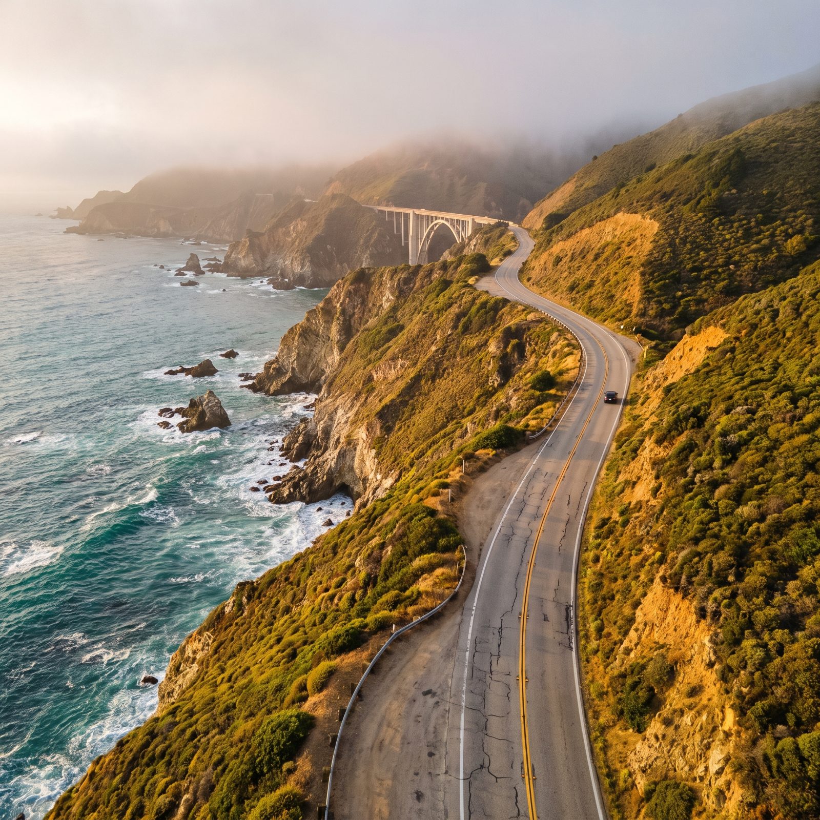
The guardrails are a suggestion and the fog has opinions. Big Sur is the stretch everyone pictures when they say coast road, and it earns it. Ninety miles of cliff between Carmel and San Simeon, with Bixby Creek Bridge playing the postcard everybody slams the brakes for. Pull off at the vista points instead of the bridge itself, where the shoulder vanishes and tempers flare.
Drive it southbound if you can. You get the ocean on your side of the car, turnouts you can reach without crossing traffic, and nobody tailgating you into the next hairpin.
48. Road to Hana Along Maui’s Rainforest Coast, Hawaii
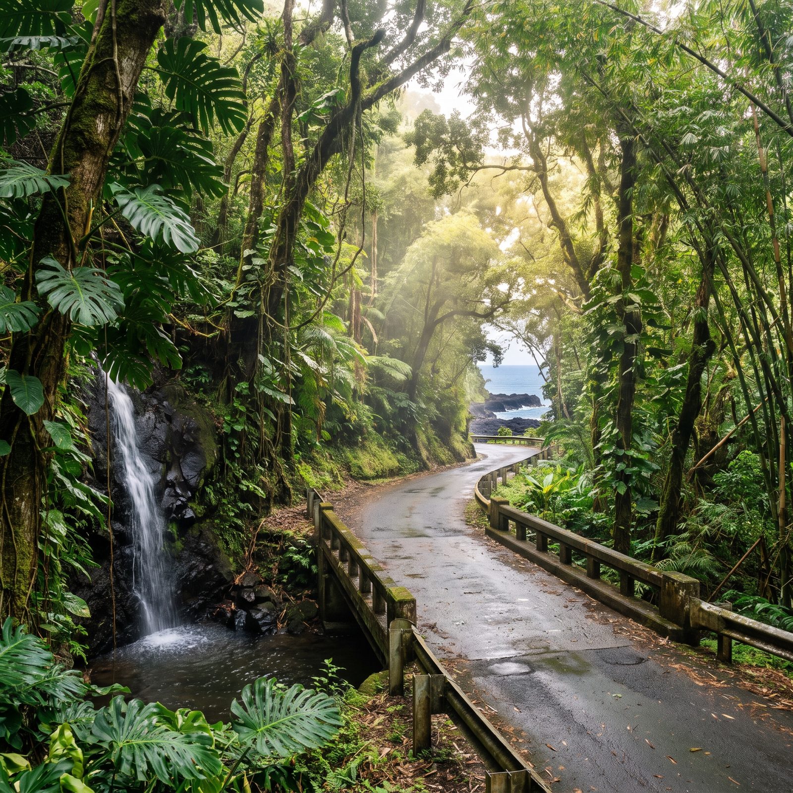
Fifty-nine bridges. Six hundred and some curves. Most of them one lane, blind, and shared with a pickup that knows the road better than you ever will. The Road to Hana isn’t about the destination, which turns out to be a small sleepy town — it’s about everything you stop for on the way.
Here’s the mistake people make: they treat it as a there-and-back sprint, white-knuckle it to Hana, buy a shave ice, and drive straight back wrecked. Leave at dawn instead and beat the tour vans. Wailua Falls, the black sand at Waianapanapa, the roadside banana bread stands — all yours before the crowds wake up.
47. Blue Ridge Parkway Through Virginia and North Carolina
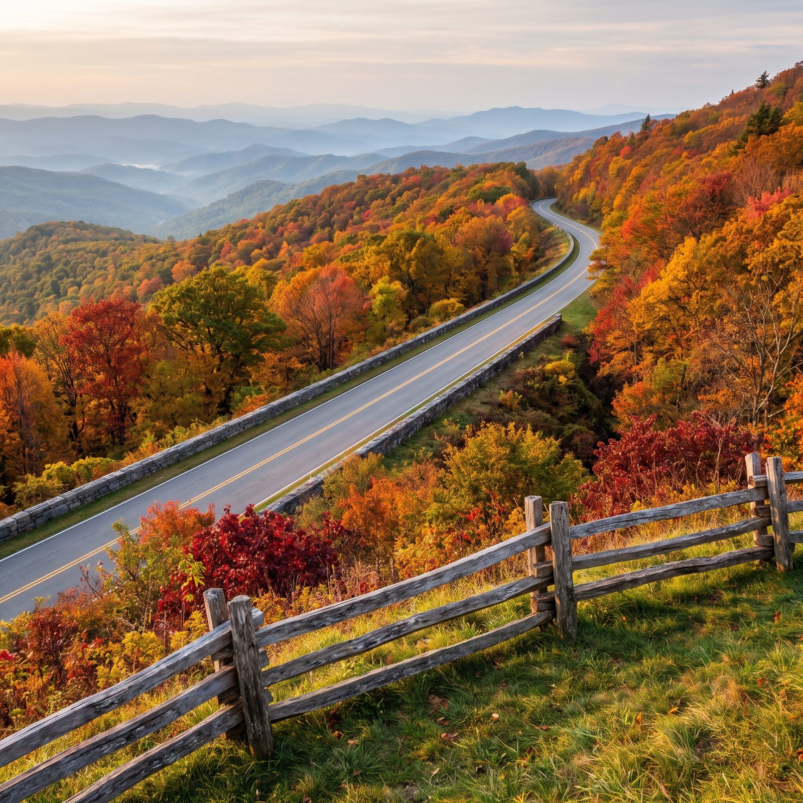
There is no faster way to drive the Blue Ridge Parkway, and that’s exactly how it was designed. The speed limit tops out at 45 and drops lower through the curves. No trucks, no billboards, no stoplights for 469 miles. Built to be slow.
Go the first two weeks of October for peak color through the North Carolina stretch — just remember everybody else knows that too. The overlooks fill by mid-morning on weekends.
46. Overseas Highway From Miami to Key West, Florida
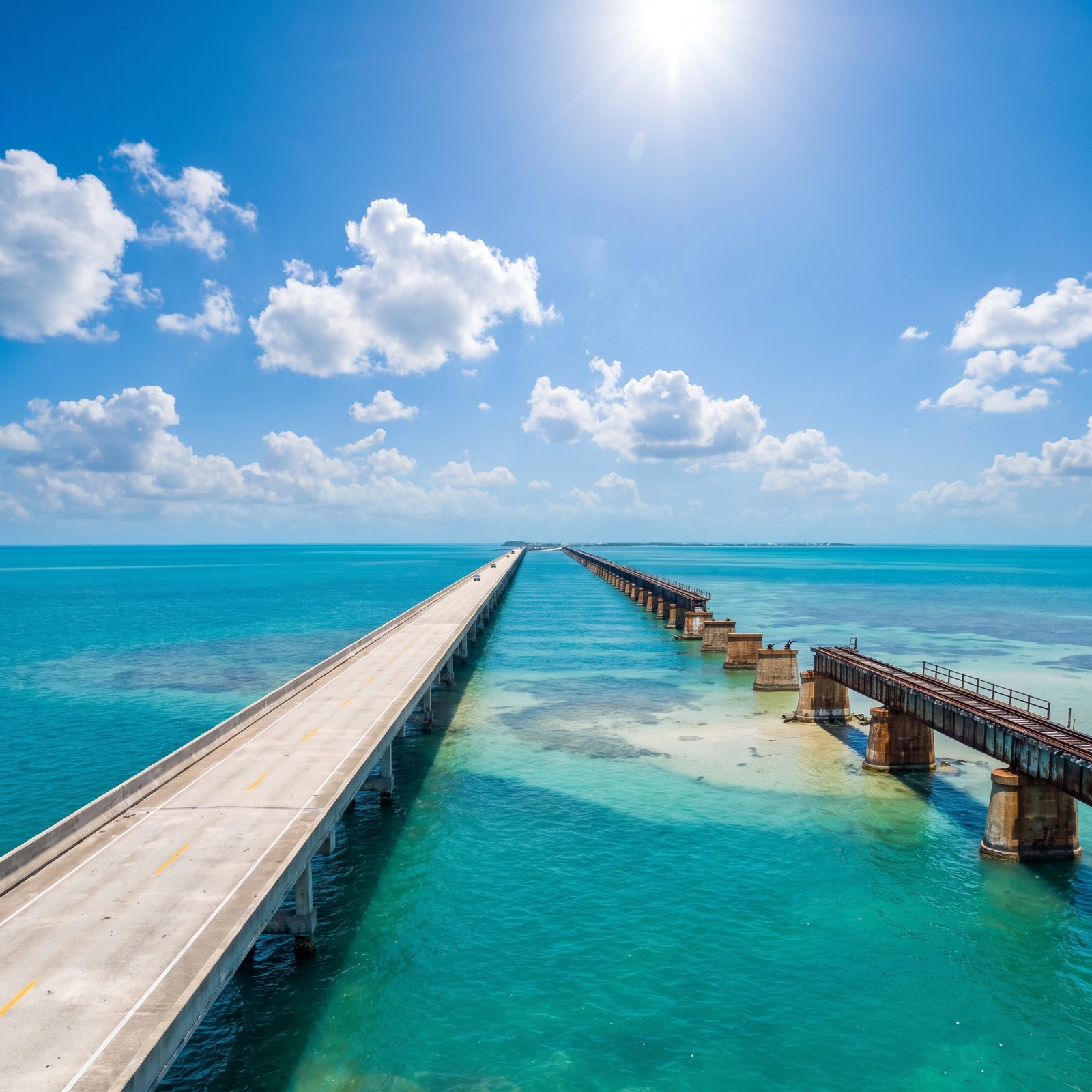
You are driving on the ocean. Not beside it. Across it. The Overseas Highway runs 113 miles of US 1 from the mainland to Key West, and the Seven Mile Bridge is the moment it stops feeling like a road and starts feeling like flying.
Here’s what nobody tells you: the drive is slower than the map promises. One lane each way for long stretches, speed traps that seem to fund entire town budgets, and a crawl through Islamorada. Budget the whole day. Stop at mile marker 88 for the best key lime pie argument you’ll ever have, then watch the sunset from Mallory Square like everyone else does — cliché or not, it’s worth it.
45. Olympic Peninsula Loop Around Western Washington
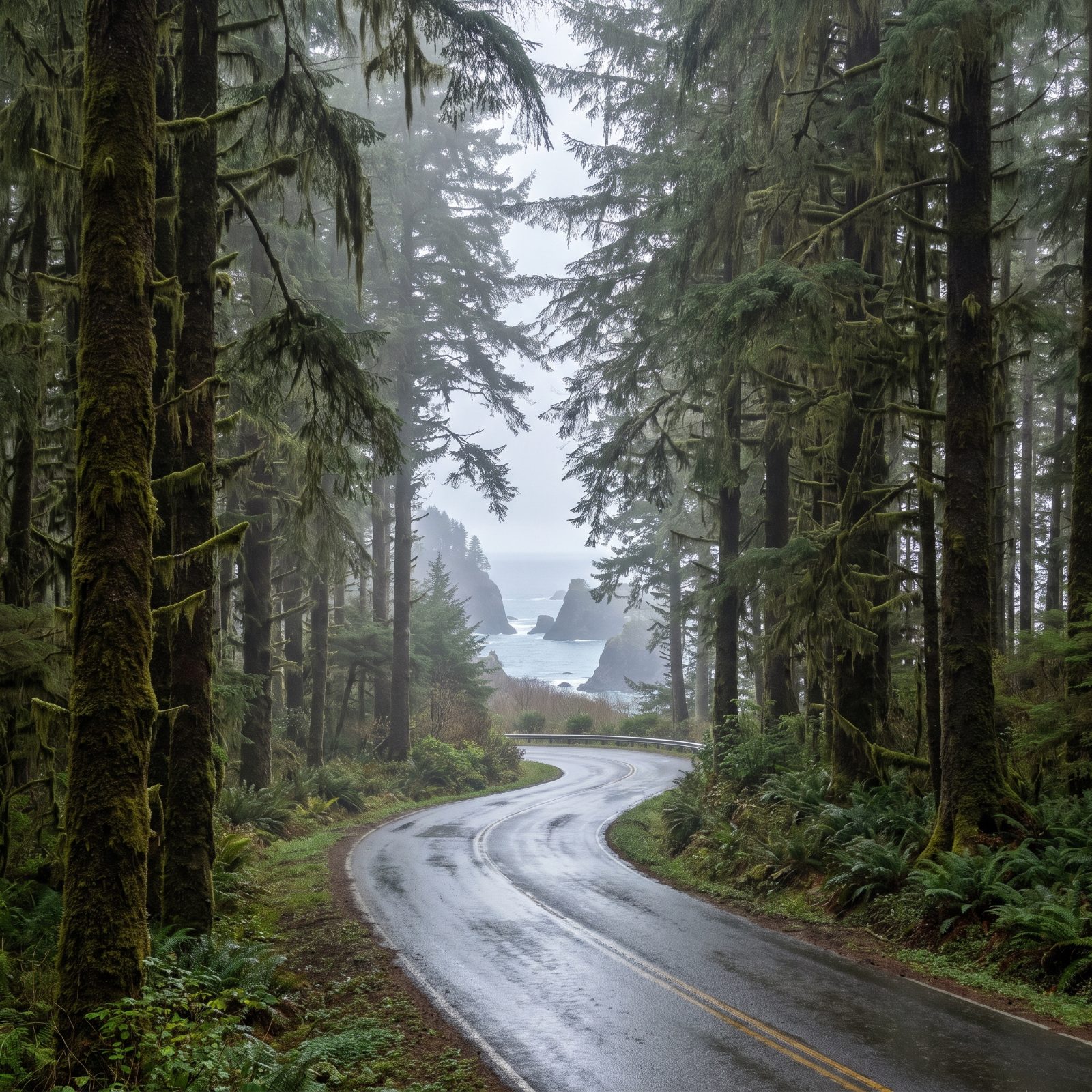
One loop, three completely different worlds. The Olympic Peninsula drive circles US 101 around the whole landmass, and in a single day — if you push it — you’ll go from glacier-capped mountains to the mossy green dark of the Hoh Rain Forest to the sea stacks at Rialto Beach.
Don’t push it. The rainforest alone deserves a morning, and Hurricane Ridge wants a clear afternoon you won’t always get. This is the wettest corner of the lower 48, and the weather is the whole character of the place.
44. Scenic Byway 12 Through Southern Utah
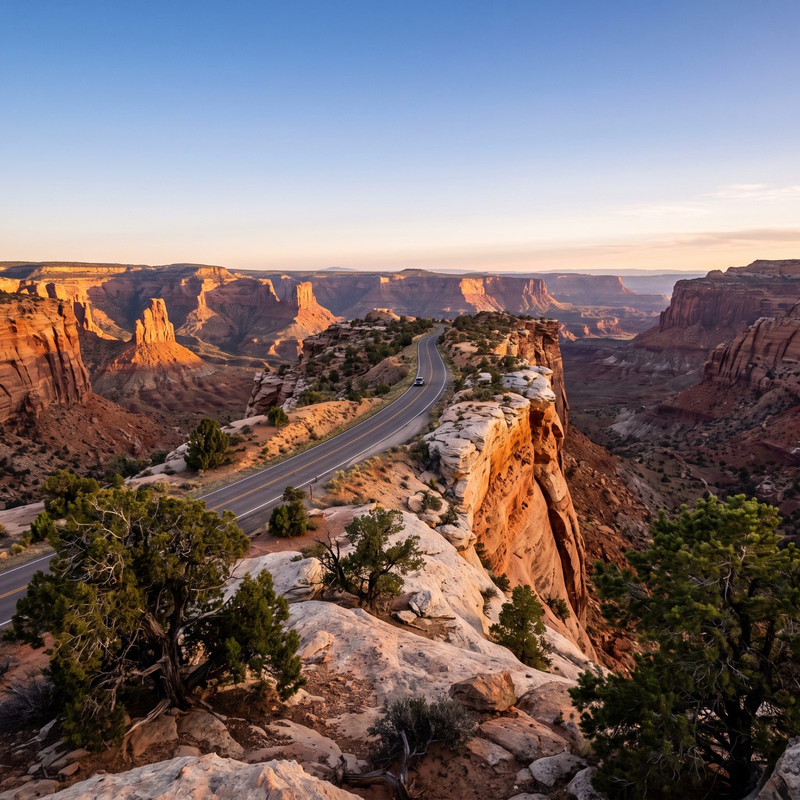
There’s a stretch where the two-lane road swings in wide, lazy curves through open slickrock, banded red and cream stone rolling away on every side. It’ll stop you in your tracks. Scenic Byway 12 runs 122 miles between Bryce Canyon and Capitol Reef, threading together more raw geology than any road its length in America.
Give it two days minimum. Boulder has the best lunch on the route at a place that grows its own, and the light at Kodachrome Basin, early or late, does things to the rock a photo can’t hold onto.
43. Million Dollar Highway From Silverton to Ouray, Colorado
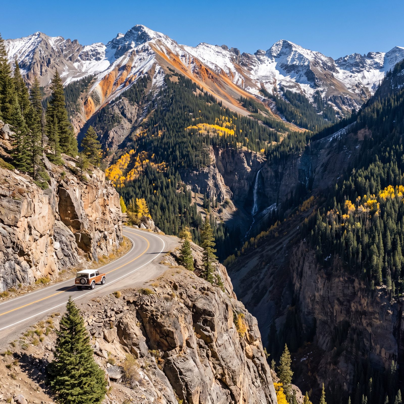
No guardrails. Not an exaggeration, not a marketing line. For long stretches between Silverton and Ouray, US 550 drops straight off the shoulder into a canyon, and the only thing between you and a very bad day is your own attention.
It’s 25 miles. Takes an hour if you respect it. The pullouts are narrow, the switchbacks are tight, and in winter this ranks among the deadliest roads in the country. Drive it in summer or early fall when the aspens turn, and keep your eyes up the road rather than out the window.
42. Seward Highway From Anchorage to the Kenai Peninsula, Alaska
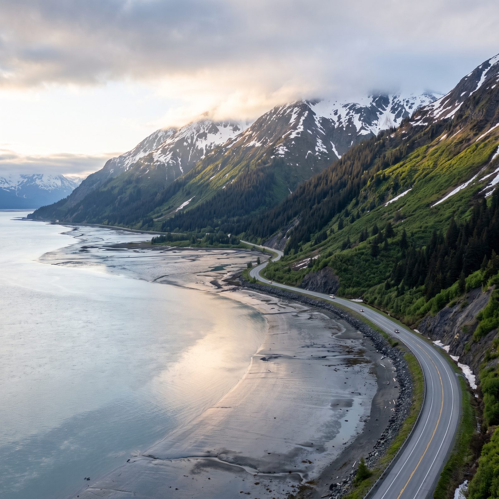
Watch the water and you might catch beluga whales working the tide in Turnagain Arm, right off the shoulder. The Seward Highway runs 125 miles south from Anchorage down the Kenai Peninsula, and it’s one of the few roads where you can see a glacier, a whale, and a moose on the same tank of gas.
The tides here swing enormous distances — among the biggest in the world. Time a stop at Beluga Point for a rising tide and the bore wave rolling up the inlet is worth standing in the cold for. Dall sheep work the cliffs above the road, too. Keep one eye up.
41. Trail Ridge Road Through Rocky Mountain National Park, Colorado
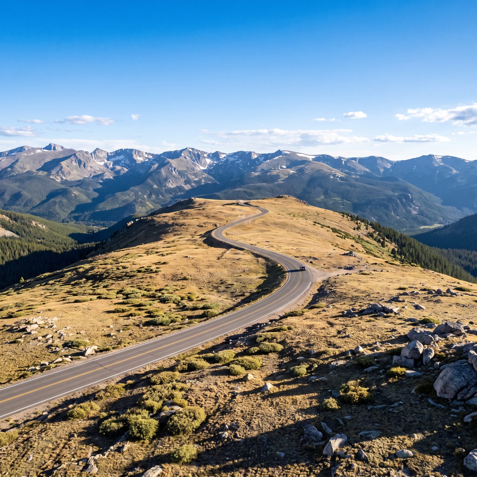
This is the highest continuous paved road in any U.S. national park, topping out above 12,000 feet. Eleven miles of Trail Ridge Road run above the treeline, where the wind never fully quits and the tundra looks like nowhere else in the country.
The catch is the calendar. It only opens from roughly late May to mid-October, snowbound the rest of the year. Even in July you’ll want a jacket at the top. Thin air makes some folks lightheaded, so take the Alpine Visitor Center stop seriously and don’t rush the elevation.
40. Oregon Coast Highway From Astoria to Brookings
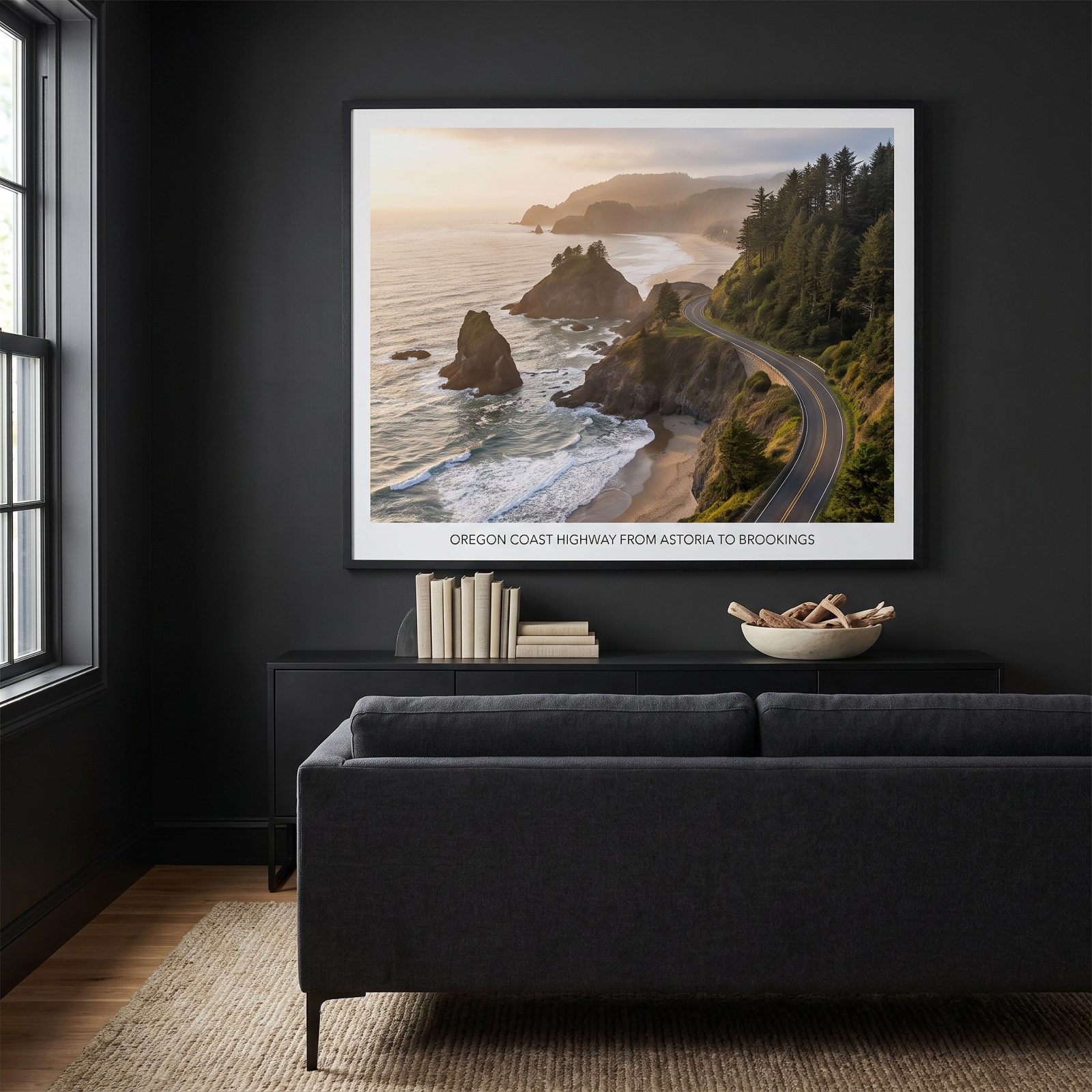
363 miles of coastline, and the state made every inch of beach public by law back in 1967. No private stretches, no gated resorts hoarding the view. Pull off US 101 almost anywhere and walk down to the sand.
The sea stacks at Cannon Beach are the famous shot. But the quieter southern end past Bandon is where the road earns real loyalty — fewer crowds, wilder rock, the smell of spruce and salt coming through the vents.
39. North Cascades Highway Across Washington’s Mountain Passes
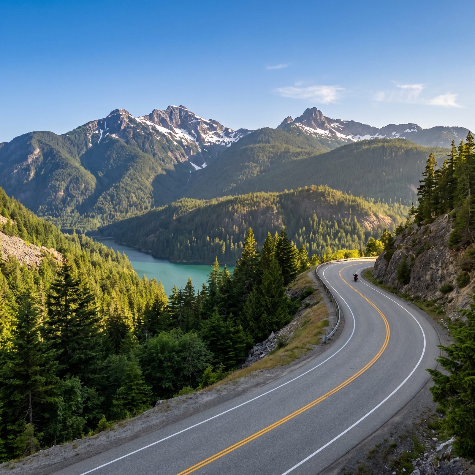
This road closes every winter and most people have no idea. State Route 20 shuts down around Rainy and Washington Passes from late November until spring, buried under snow that takes crews weeks to dig out. Aim for July through October and the whole run is yours.
The payoff is Diablo Lake. That turquoise looks photoshopped until you’re standing at the overlook staring at it — the color comes from glacial rock flour hanging in the water. Stop at the Washington Pass Overlook too, a five-minute walk for a look straight down at the highway switchbacking through the granite.
38. U.S. Route 163 Through Monument Valley, Utah and Arizona
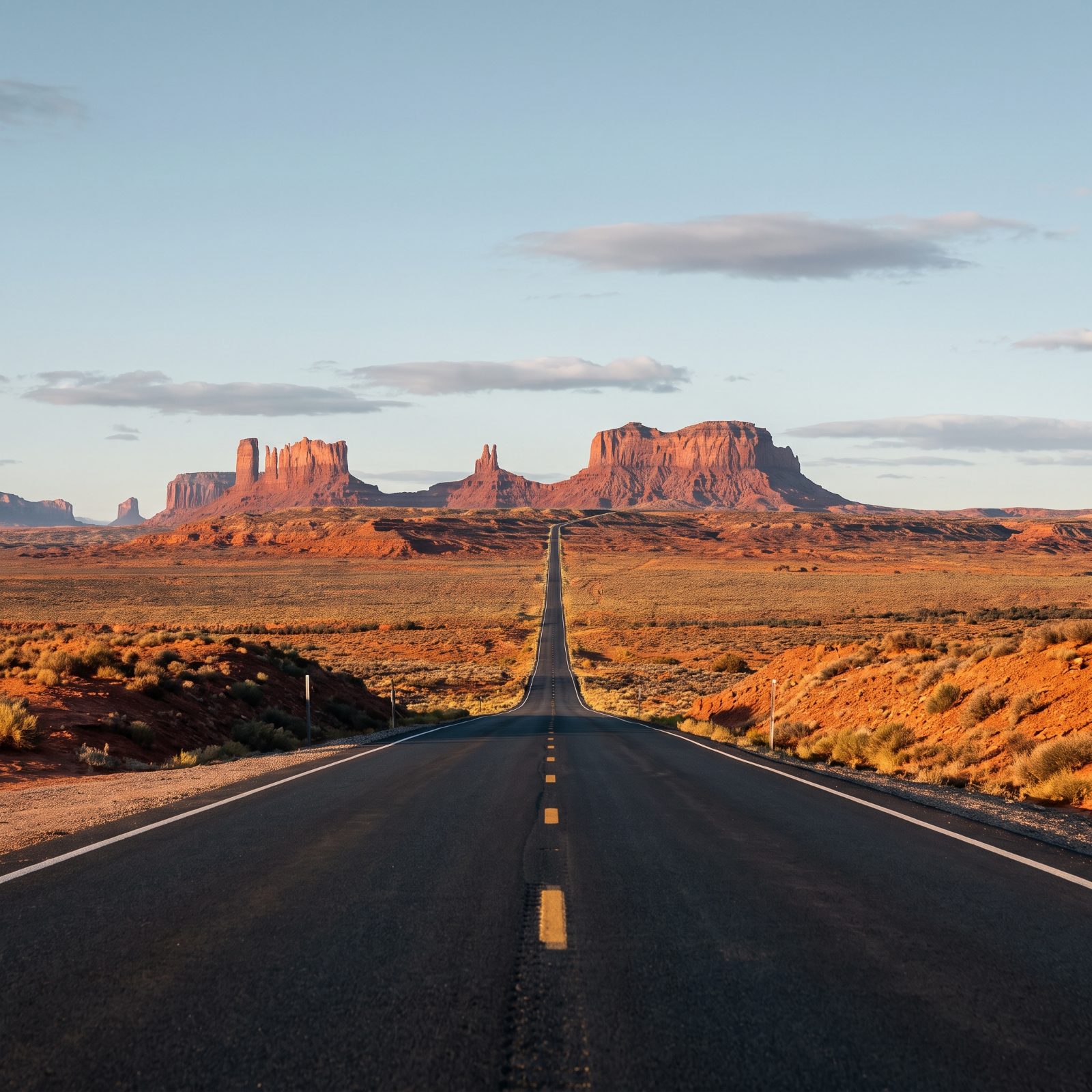
You’ve seen this exact view in a hundred car commercials and probably a Forrest Gump poster. The spot even carries a nickname now — Forrest Gump Point, out around mile marker 13 — and people plant themselves in the middle of the road for the photo. Keep your ears open. It’s still a live highway, and folks come cresting those rises fast.
The buttes themselves sit on Navajo Nation land. The scenic drive into the valley proper is a separate dirt loop with a fee, rough and washboarded, worth it if you’ve got decent clearance under you.
37. Tioga Road Across Yosemite National Park, California
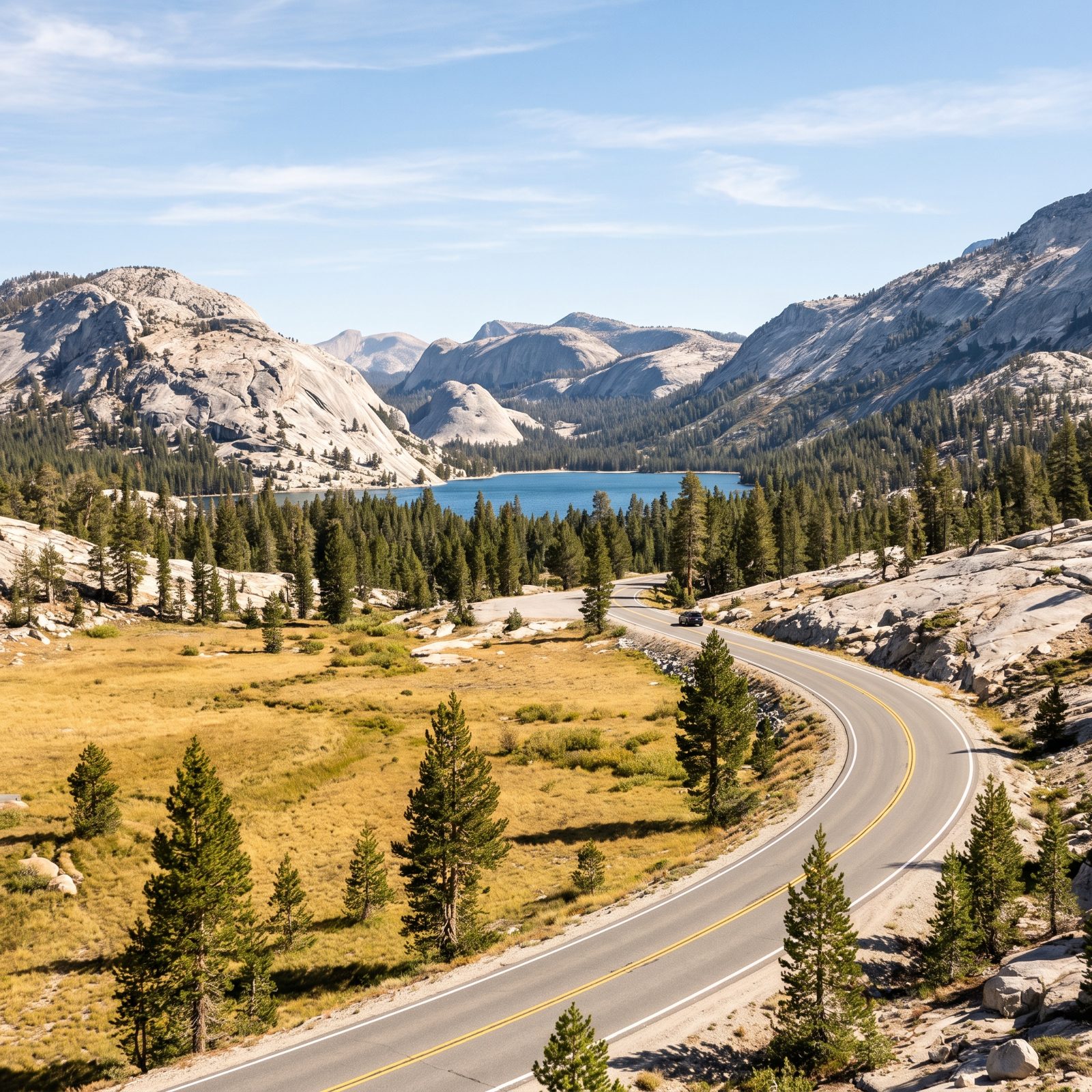
Almost nobody warns first-timers about this: Tioga Road is seasonal, and it opens late. Some years it isn’t clear until late May or even June, and it slams shut again with the first serious snow in fall. Roll up to Yosemite in April expecting to cross the Sierra crest here and you’re turning around.
When it’s open, though, this is the quiet side of the park. Tenaya Lake sits right beside the road, cold and glassy, ringed by granite. Up at Tuolumne Meadows you get that open high-country air at 8,600 feet. I’d take this over the Valley gridlock any summer day you care to name.
36. Historic Columbia River Highway Through Oregon’s Waterfall Corridor
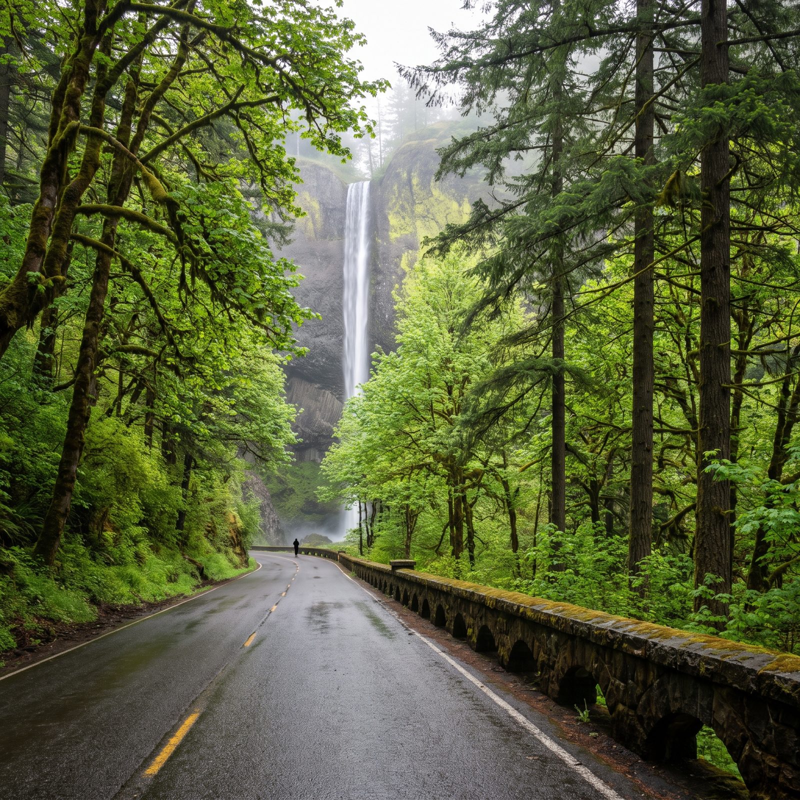
Multnomah Falls grabs all the attention — fair enough, it’s 620 feet of falling water with a stone footbridge across its face. But the real trick of this old road is how many waterfalls it strings together in a few short miles. Horsetail, Wahkeena, Latourell, each one a brief walk from the pavement.
Built in the 1910s, narrow and graceful on purpose, more promenade than freeway. Go on a weekday morning if you can swing it. Weekend crowds at Multnomah can mean timed-entry permits in peak season and a parking lot that fills by nine.
35. Avenue of the Giants Through California’s Ancient Redwoods
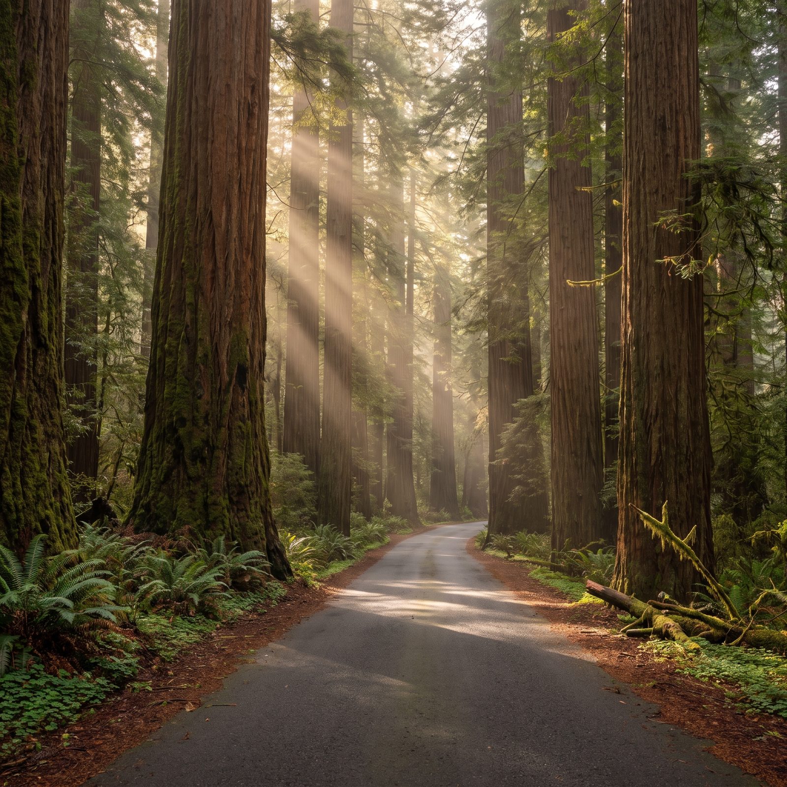
Thirty-one miles running parallel to the 101. You peel off the freeway and drop into a corridor of trees that were already old when Rome fell. Some of these coast redwoods push past 300 feet, and your neck will give out before your sense of wonder does.
Pull over at the Rockefeller Forest grove. It’s the largest stand of old-growth redwoods left on the planet, and walking in resets your whole sense of scale in a way no overlook ever manages. Drive slow. Nothing about this place rewards hurrying, and the light knifing through the canopy at dawn is the reason you came in the first place.
34. Desert View Drive Along the Grand Canyon’s South Rim, Arizona
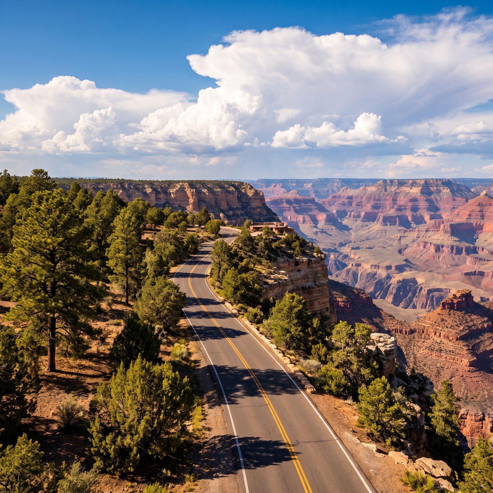
Everyone piles into Grand Canyon Village and fights over parking. Smart money drives the 25 miles of Desert View Drive east toward the park’s quieter entrance instead. Lipan Point and Navajo Point hand you the same canyon with a fraction of the crowd.
At the far end sits the Desert View Watchtower, a 70-foot stone tower Mary Colter designed back in 1932. Climb it. The view through those windows — across the canyon to the Painted Desert — is the one that lodges in your memory and won’t leave.
Bonus: this drive doubles as a way in or out. Enter here off Highway 64 and you skip the main gate bottleneck entirely.
33. Zion-Mount Carmel Highway Through Zion National Park, Utah
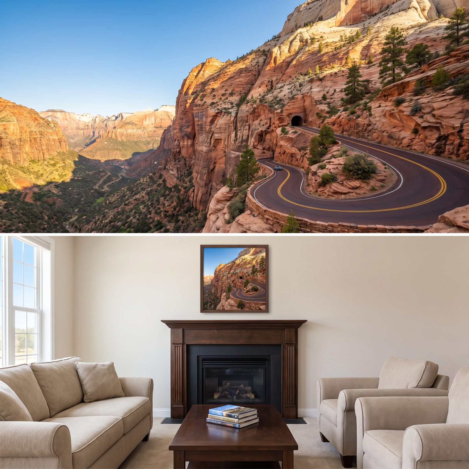
The tunnel is the catch. Built in 1930, the 1.1-mile Zion-Mount Carmel Tunnel is too narrow for two big vehicles to pass. So anything oversized — most RVs, trailers, big pickups with campers — needs a traffic-control escort and pays a permit fee (around $15 last I checked, good for two trips). Rangers stop the oncoming traffic and run you through one-way.
Measure your rig before you show up. Over 11 feet 4 inches tall or 7 feet 10 inches wide triggers the escort, and anything over 13 feet 1 inch simply can’t go through at all.
Past the tunnel, the switchbacks drop you into a world of slickrock and checkerboard cliffs that feels nothing like the main canyon.
32. Eastern Sierra Scenic Byway Along U.S. Route 395, California
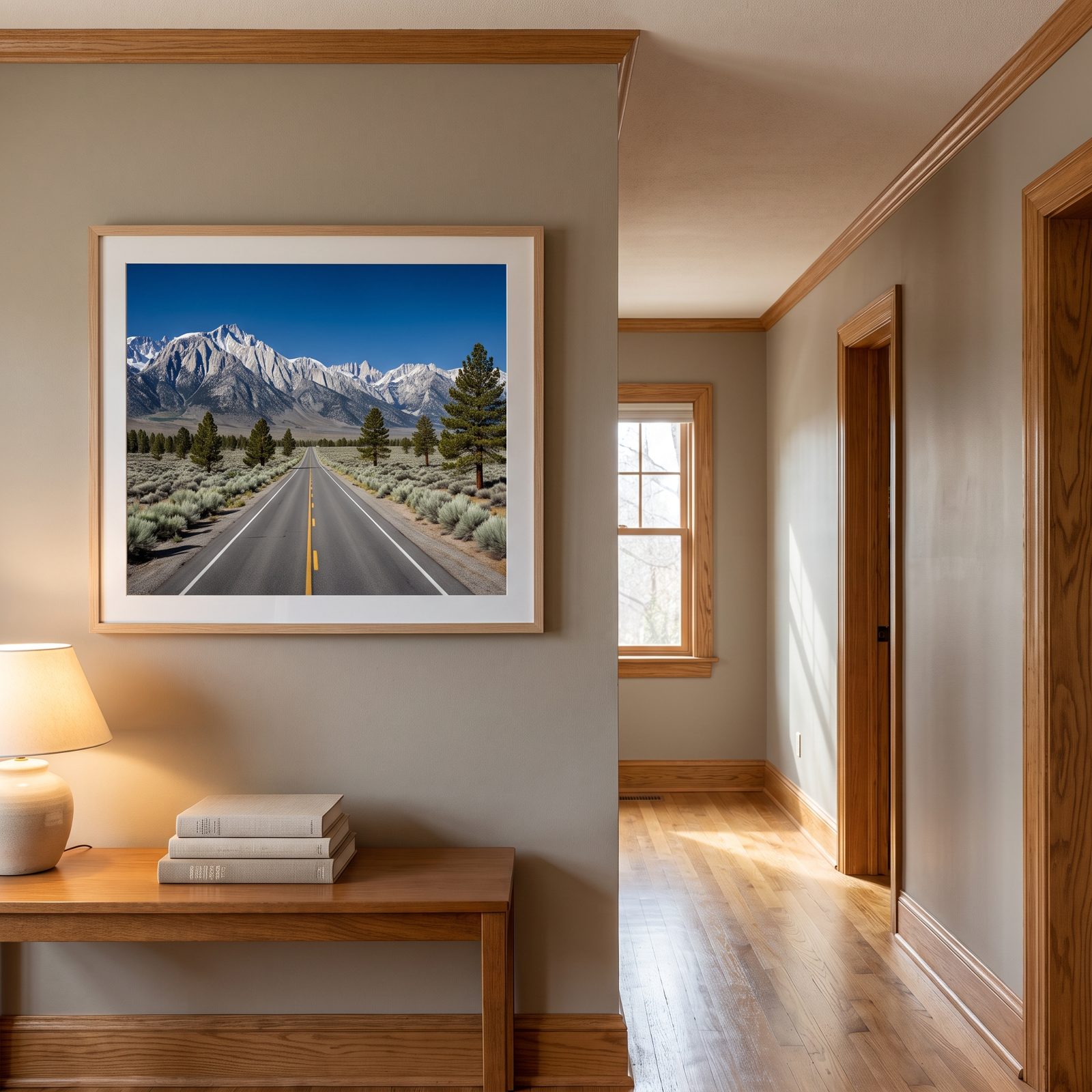
You drive this one with your head cocked left the whole way. The Sierra crest shoots up over 10,000 feet straight off the valley floor, and Mount Whitney, the tallest peak in the Lower 48, sits planted in that wall. Desert sage at your wheels, snowfields up top — the contrast never stops feeling a little unreal.
The detours come at you fast. Turn off at Lone Pine for the Alabama Hills, those rounded boulder piles where a thousand Westerns got shot. Push further north and Mono Lake’s tufa towers rise out of alkaline water like props from another planet. Bishop makes a solid overnight, with real food and fuel.
31. Death Valley Scenic Byway Through California’s Desert Basin
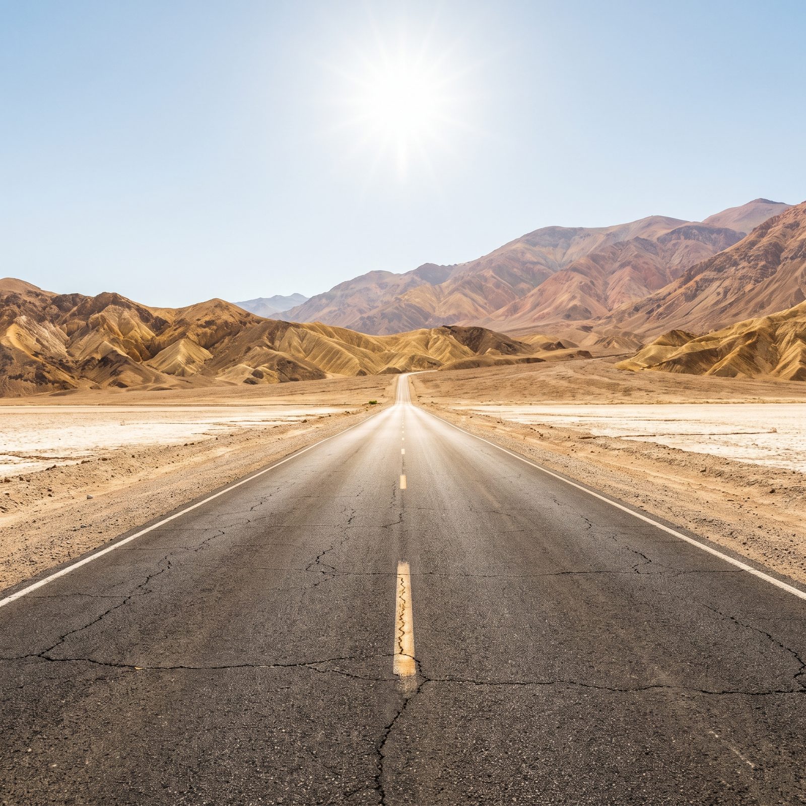
Respect this place or it will embarrass you. Death Valley holds the record for the hottest air temperature ever reliably measured on earth, 134 degrees at Furnace Creek in 1913. Summer afternoons routinely clear 120. Your cooling system, your tires, your water supply — all of it matters more out here than anywhere else on this list.
The byway links the greatest hits. Zabriskie Point for the golden badlands at sunrise. Badwater Basin, the salt flat 282 feet below sea level, the lowest ground in North America. Dante’s View, a mile up, staring straight down into the pan.
Carry more water than you think you need. Fuel up every chance you get. Cell service runs spotty to nonexistent.
30. Generals Highway Through Sequoia and Kings Canyon, California
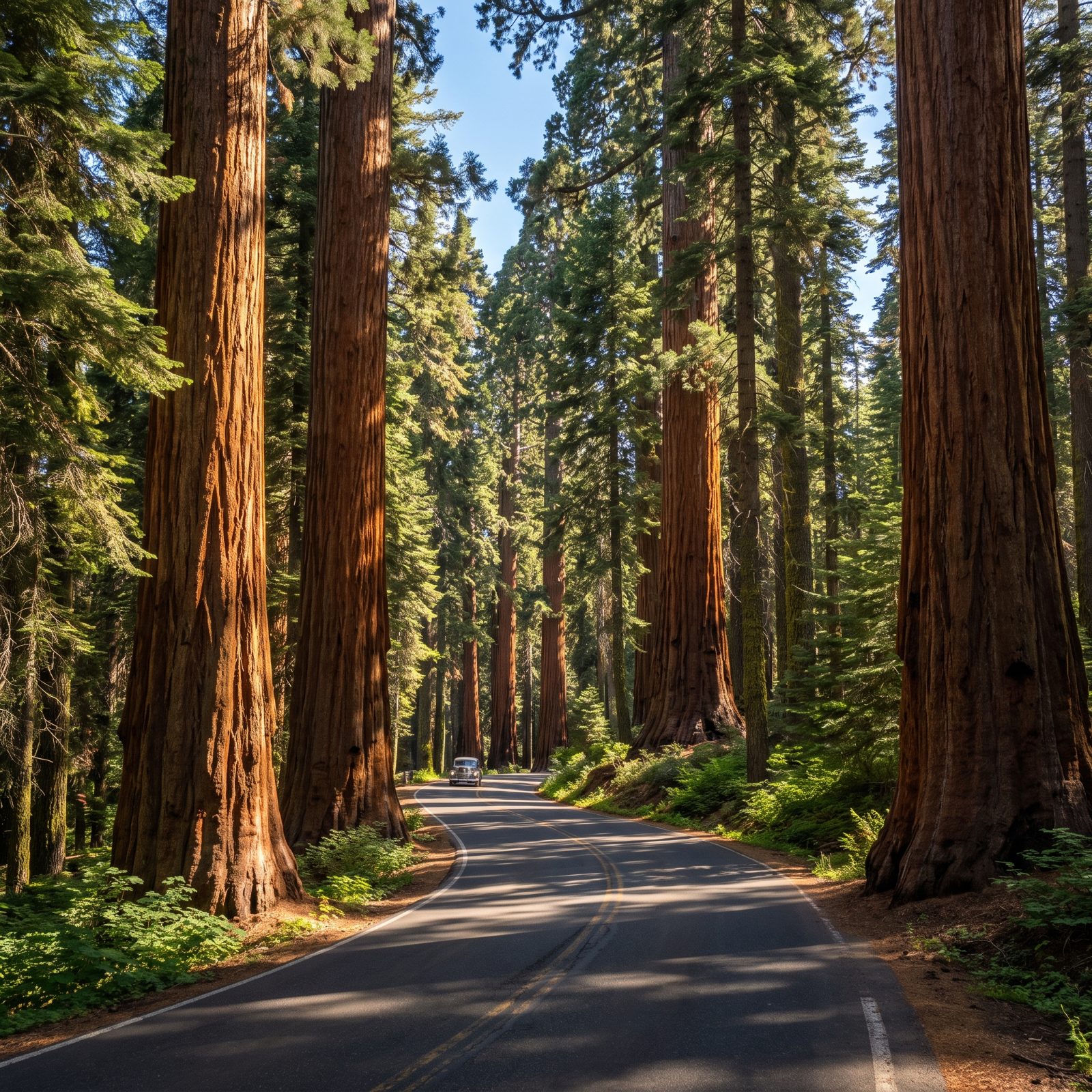
This road is a serious mountain climb, and drivers underestimate it every day. The Generals Highway gains thousands of feet in tight, steep switchbacks between the Sequoia entrance and the Giant Forest. Big RVs and trailers get waved off the lower section for good reason. Check the length restrictions before you commit, and ride your gears on the way down rather than cooking your brakes.
Up top waits General Sherman, the largest tree on earth by volume. Not the tallest — the biggest. A trunk so vast the numbers quit meaning anything until you’re standing under it with your mouth open.
The Tunnel Log, a fallen sequoia carved so you can drive straight through it, sits a few minutes away. Required photo.
29. Park Boulevard Through Joshua Tree National Park, California
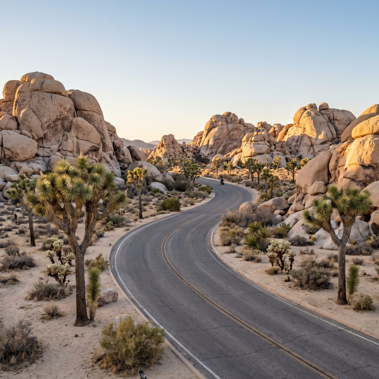
Everyone pictures Joshua Tree as hot. Go in winter and you might scrape frost off the windshield at the Jumbo Rocks campground. December and January days stay comfortable while the nights drop near freezing, and right before sunset the light turns those monzogranite boulders the color of wet terracotta.
The drive is short, under thirty miles end to end, but you’ll stop constantly. Skull Rock, Hidden Valley, the Cholla Cactus Garden off the spur. Fill your tank before you enter, because there’s no gas inside the park and cell service dies at the boundary line.
28. Lassen Volcanic National Park Highway, California
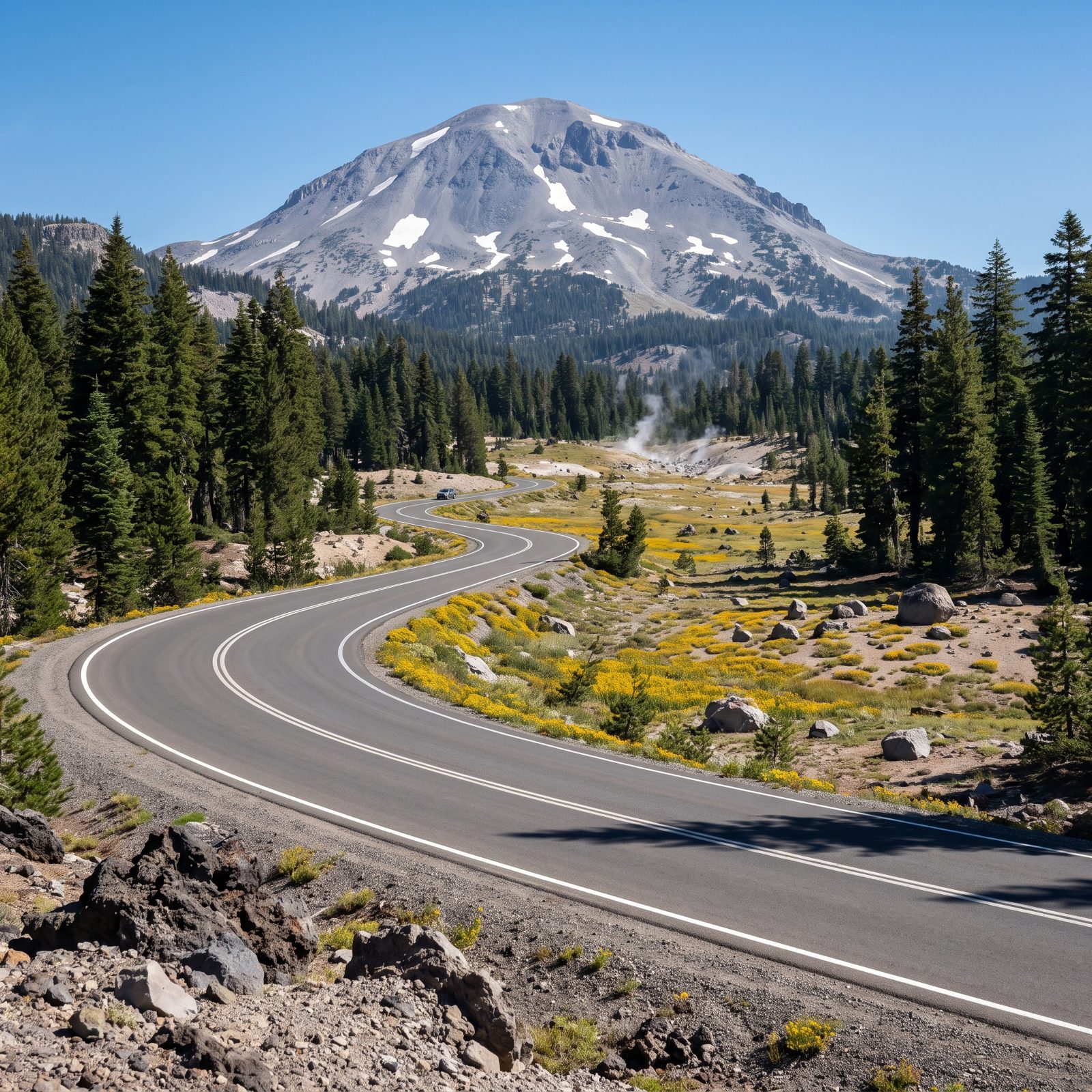
Lassen is the national park almost nobody mentions, and that’s exactly why you should go. The 30-mile highway climbs past bubbling mud pots at Sulphur Works, boiling springs at Bumpass Hell, and a volcano that genuinely erupted in 1915. Yellowstone geology, none of the Yellowstone traffic jam.
Here’s the catch: the road usually doesn’t fully open until late June, sometimes July, because the snowpack up at altitude doesn’t care about your vacation schedule. Check the park’s plowing updates before you commit. I’ve watched people drive hours and hit a locked gate.
27. Cascade Lakes Scenic Byway Near Bend, Oregon
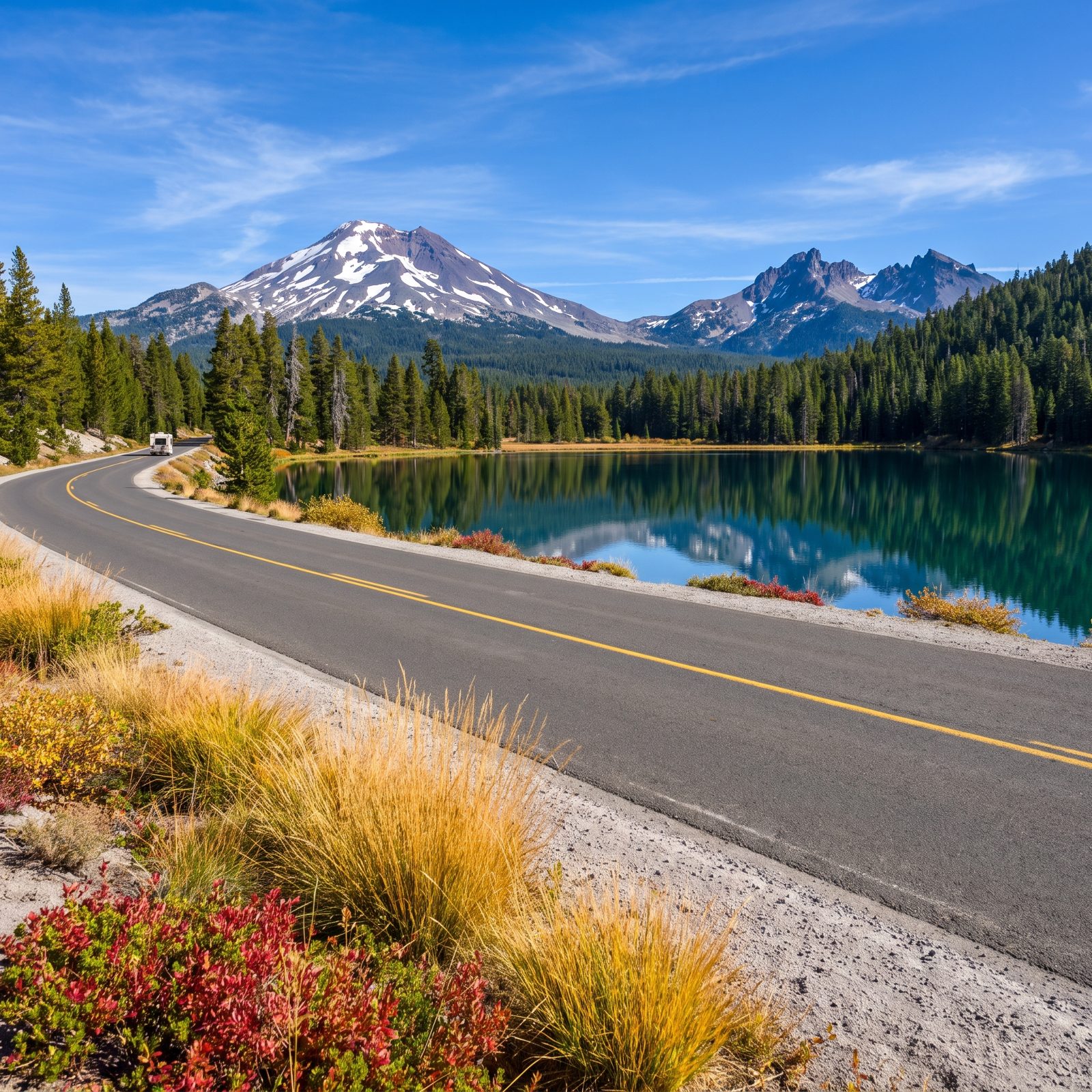
This is a loop that photographs itself. Roughly 66 miles of pavement strings together more than a dozen alpine lakes southwest of Bend, with the Three Sisters and Broken Top mirrored in the still water at dawn. Sparks Lake and Elk Lake are the showstoppers. Bring a kayak if you can fit one.
The byway shuts in winter. Most of it reopens around late May, though the upper sections can hold snow into June. September is the sweet spot: fewer mosquitoes, turning larches, and air that smells like warm pine needles.
26. Sawtooth Scenic Byway Through Central Idaho
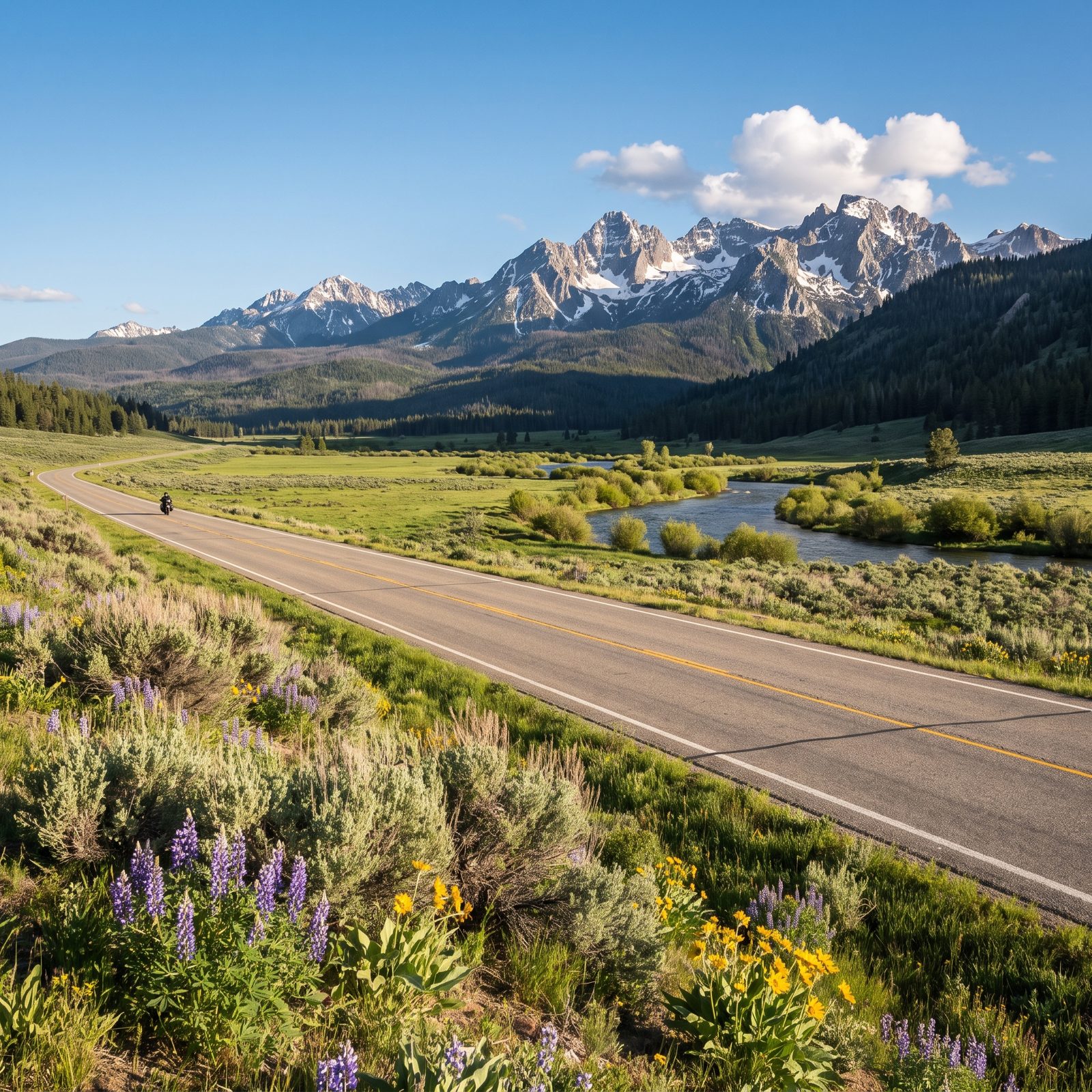
Highway 75 runs from Shoshone up through Ketchum and over Galena Summit, and the moment you crest that pass the whole Sawtooth Range opens up like someone pulled back a curtain. Jagged granite teeth. A valley floor stitched with the headwaters of the Salmon River. It stops you cold.
Pull over at the Galena Overlook. It’s signed, it’s free, and the view down the valley is the one you’ll remember. The road stays open year-round, but the pass gets serious snow and the switchbacks demand your full attention in a loaded RV.
25. Chief Joseph Scenic Byway Through Northwestern Wyoming
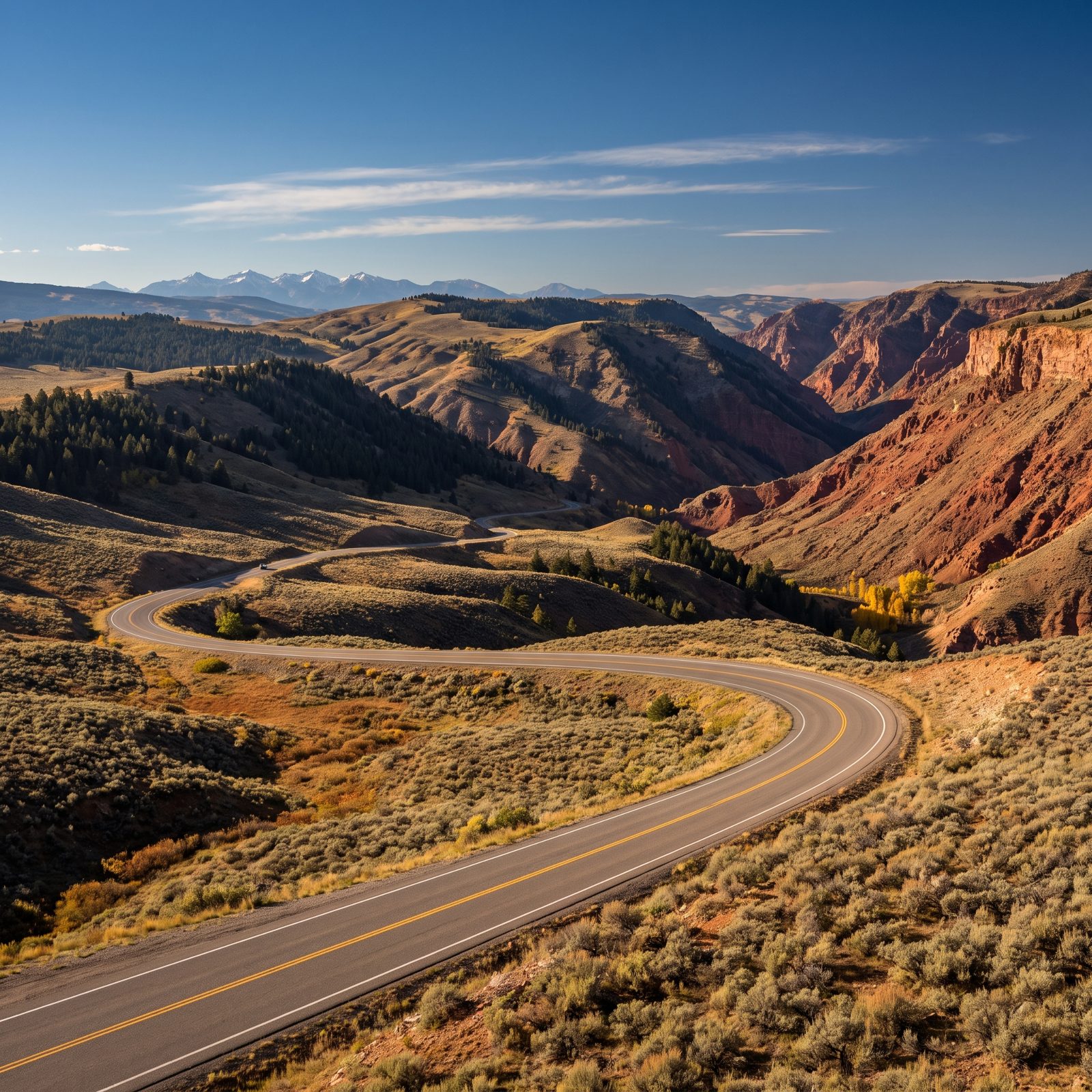
Ask riders in the Northern Rockies about underrated roads and this one comes up fast. The Chief Joseph connects Cody to the Beartooth, and most people blast through it chasing the famous switchbacks beyond. Slow down. This road earns its own stop.
Dead Indian Pass is the climax. Haul up to the overlook near 8,000 feet and the Clarks Fork Canyon drops away below you in layers of red rock. The pullout has interpretive signs about the Nez Perce who threaded this country in 1877. Read them. It changes how the view sits with you.
24. Bighorn Scenic Byway Through Wyoming’s Bighorn Mountains
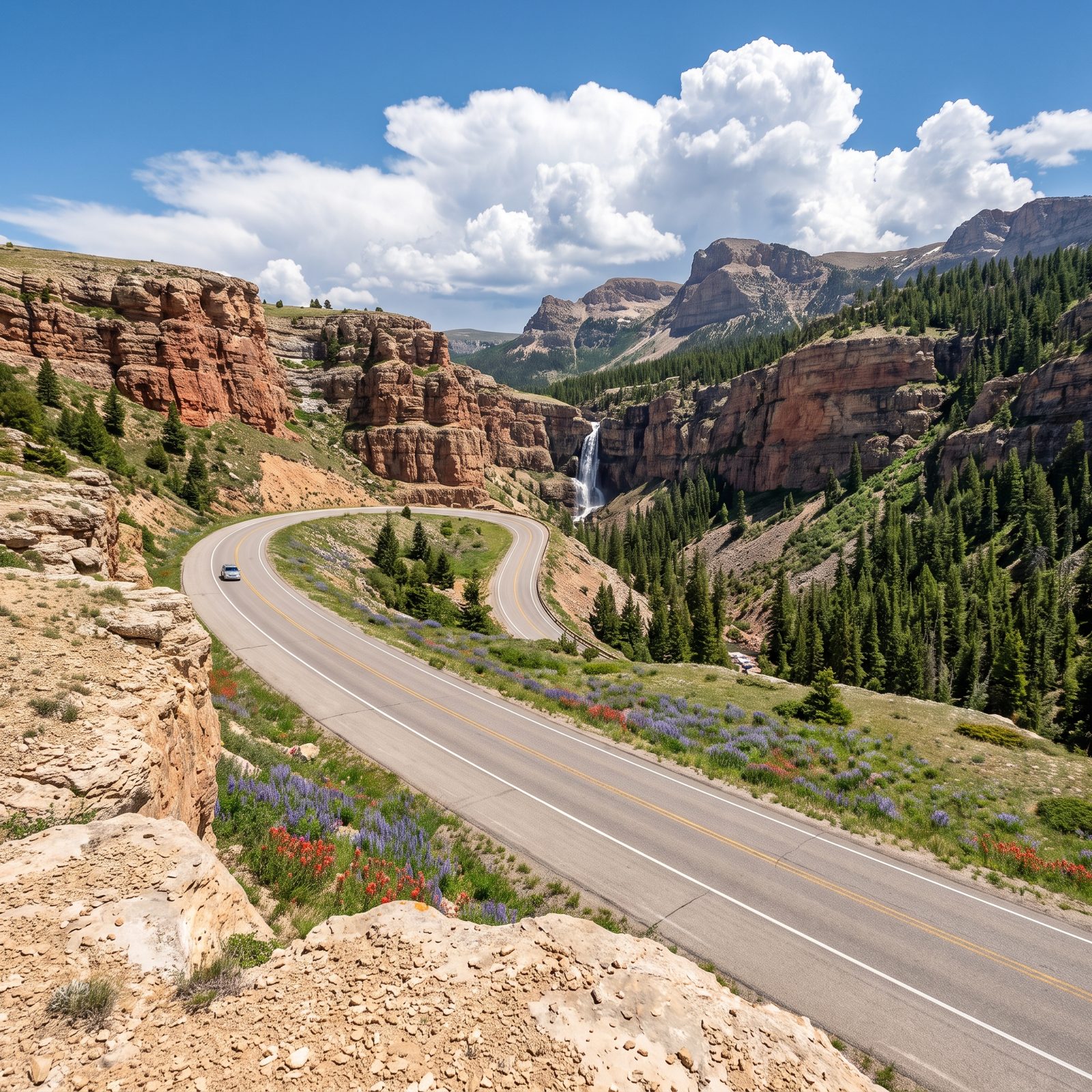
US 14 over the Bighorns tops out above 9,000 feet, and the descent through Shell Canyon on the west side is the part that gets your knuckles white and your grin wide. Red rock walls, a roadside waterfall, and switchbacks that shed two thousand feet in a hurry.
Stop at Shell Falls. The Forest Service built an easy interpretive trail that puts you right above the plunge.
23. Badlands Loop Road Through South Dakota
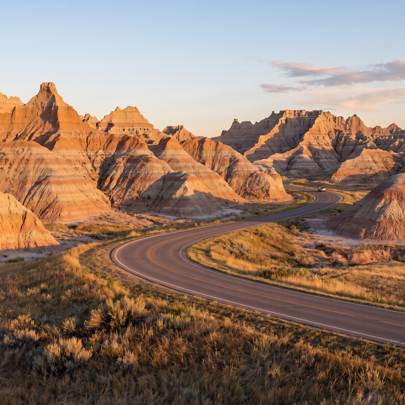
The Badlands look like another planet and drive like a dream. SD 240 peels off Interstate 90 and loops through roughly 30 miles of striped spires and buttes before dropping you back on the highway. You could knock it out in an hour. Don’t. Give it a half day.
Go at sunrise or the hour before sunset. Midday light flattens those rock bands into gray mush, while low sun lights up the pinks, rusts, and tans like a layer cake. The Big Badlands Overlook near the northeast entrance is the postcard shot. Bighorn sheep work the pullouts, and they do not care about your bumper.
22. Needles Highway Through South Dakota’s Black Hills
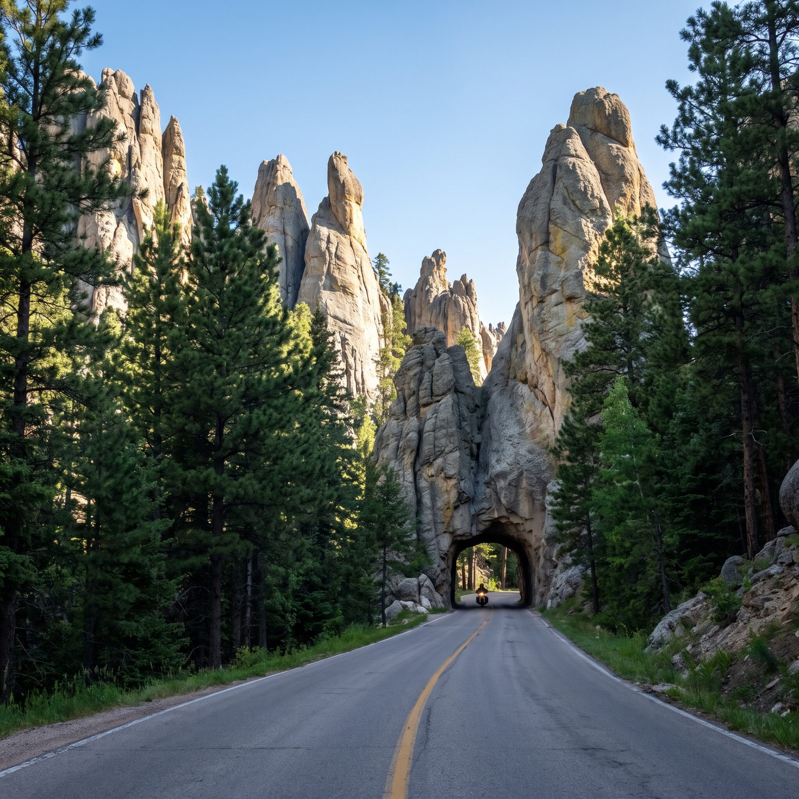
This one is a driving experience more than a view. The Needles Highway corkscrews through Custer State Park past granite spires so tall and thin they look like someone stood them on end, then funnels you through tunnels blasted straight through the rock, some barely wide enough for a single vehicle.
Know your dimensions before you commit. The Needles Eye Tunnel runs around 8 feet 9 inches wide and 9 feet 9 inches high. That rules out most big RVs and makes trailer owners sweat. Motorcyclists love it. Measure twice, drive once.
21. Theodore Roosevelt National Park’s South Unit Scenic Loop, North Dakota
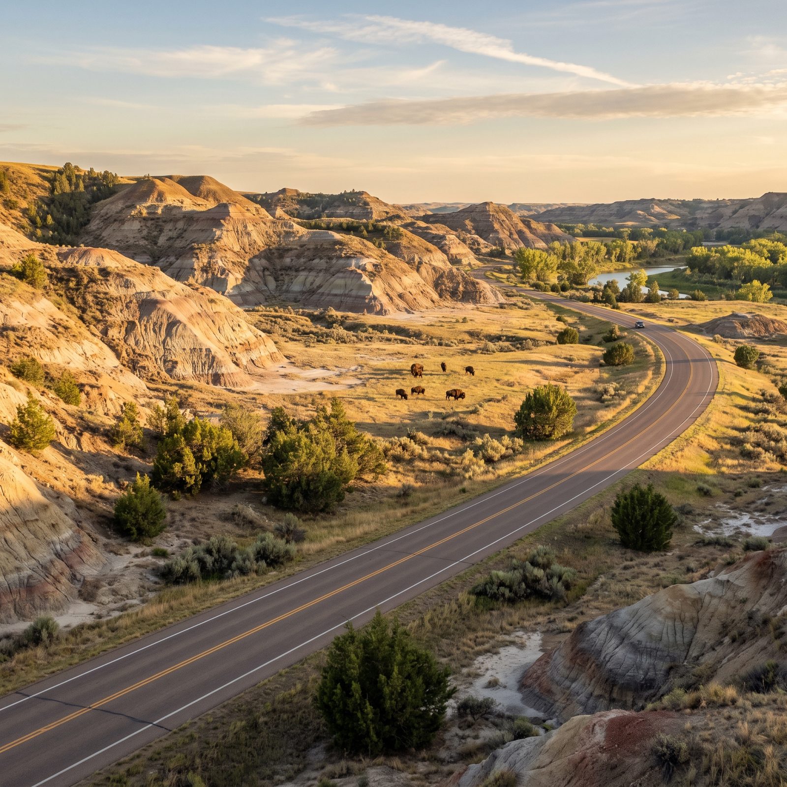
You came for the scenery and the wildlife steals the show. The 36-mile South Unit loop near Medora winds through rolling badlands where bison cross the road whenever they feel like it. Wild horses run these hills. Prairie dog towns chatter at every pullout.
The park sits in both time zones depending on which unit you’re in, which trips people up constantly. The South Unit runs on Mountain Time. Build that into your sunset plans.
20. North Shore Scenic Drive Along Lake Superior, Minnesota
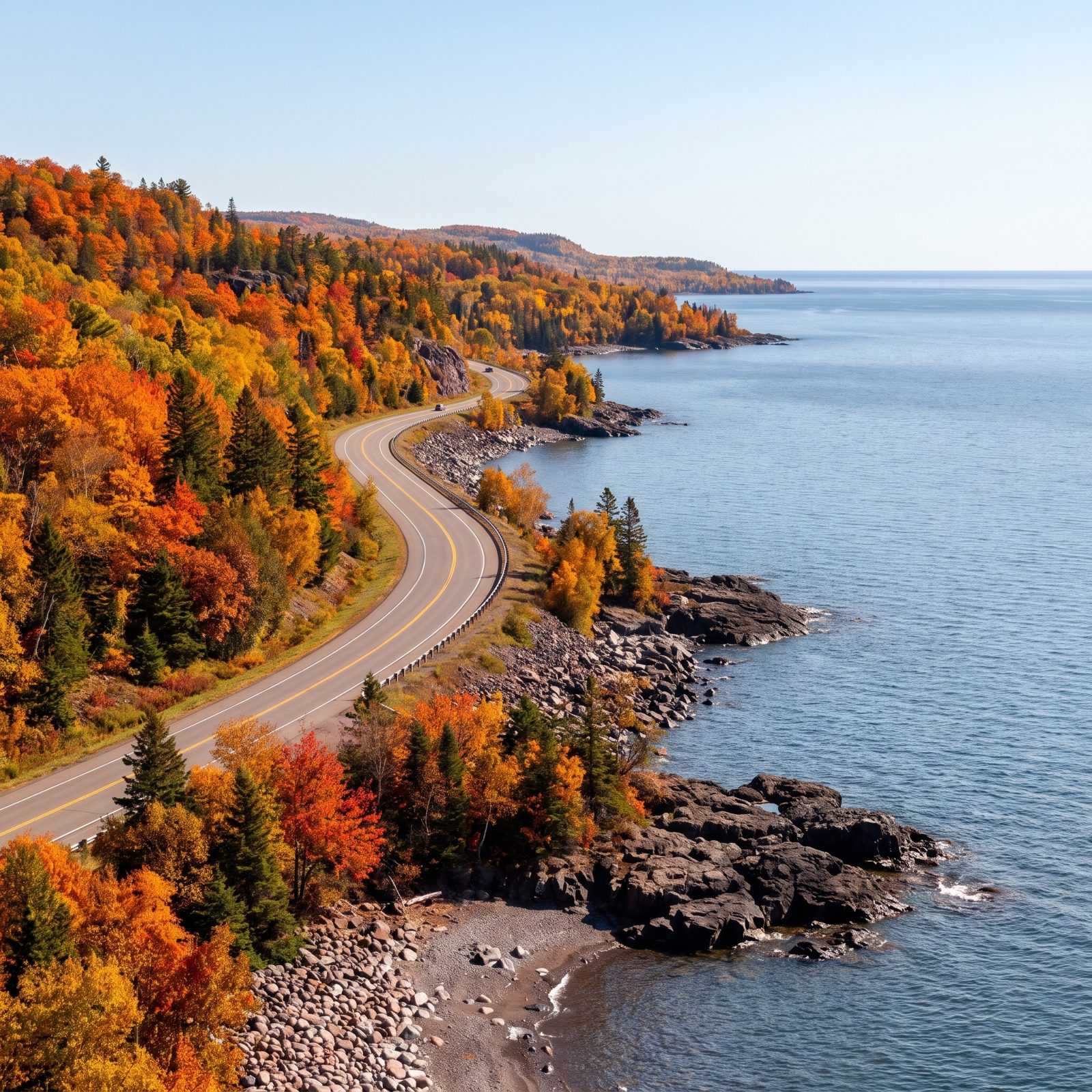
Highway 61 runs northeast out of Duluth along the biggest freshwater lake on earth, and in early October the hardwood hills above the water go up like a bonfire. Oranges, reds, deep gold against the cold steel-blue of Superior. One of the finest fall drives in the country, and almost no one east of the Mississippi ever mentions it.
String your stops: Gooseberry Falls, Split Rock Lighthouse perched on its cliff, Palisade Head for the overlook. The lake makes its own weather, so pack layers even in summer. A warm Duluth morning can turn into a chilly shoreline afternoon with fog rolling off the water, and that’s the lake reminding you who’s in charge.
19. Great River Road Along Wisconsin’s Mississippi Bluffs
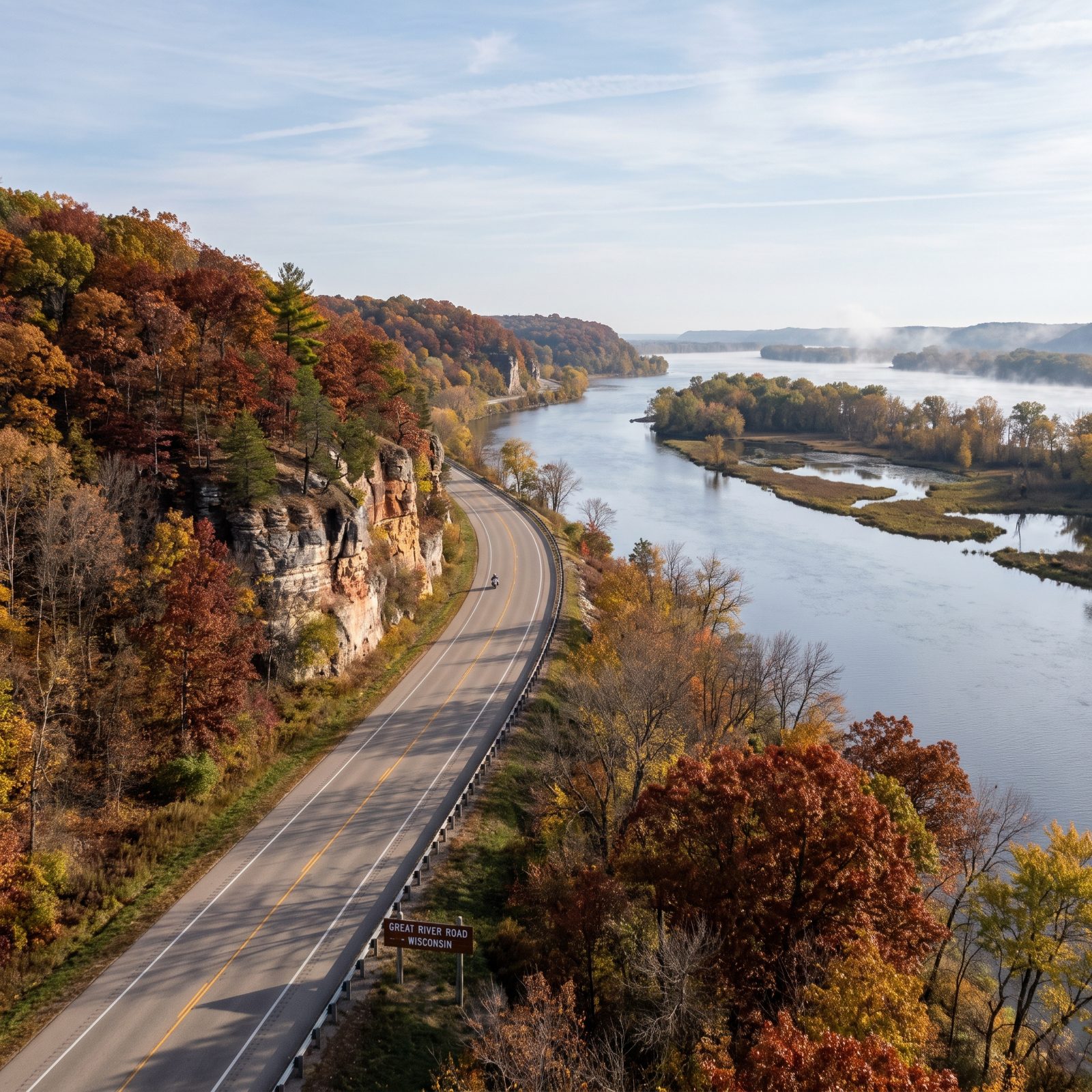
Everyone drives the coasts and forgets the river in the middle. Their loss. The Wisconsin stretch of the Great River Road runs about 250 miles, hugging the Mississippi from Prescott down to the Illinois line, with limestone bluffs rising 500 feet straight off the water.
Stop at Alma, climb Buena Vista Park, and watch the barges work the locks below like slow steel beetles. Trempealeau’s old hotel still serves walleye on a screened porch.
Go in early October. The bluff hardwoods turn before the valley floor does, so you get a two-tier color show nobody tells you about.
18. Tunnel of Trees Along Michigan’s M-119
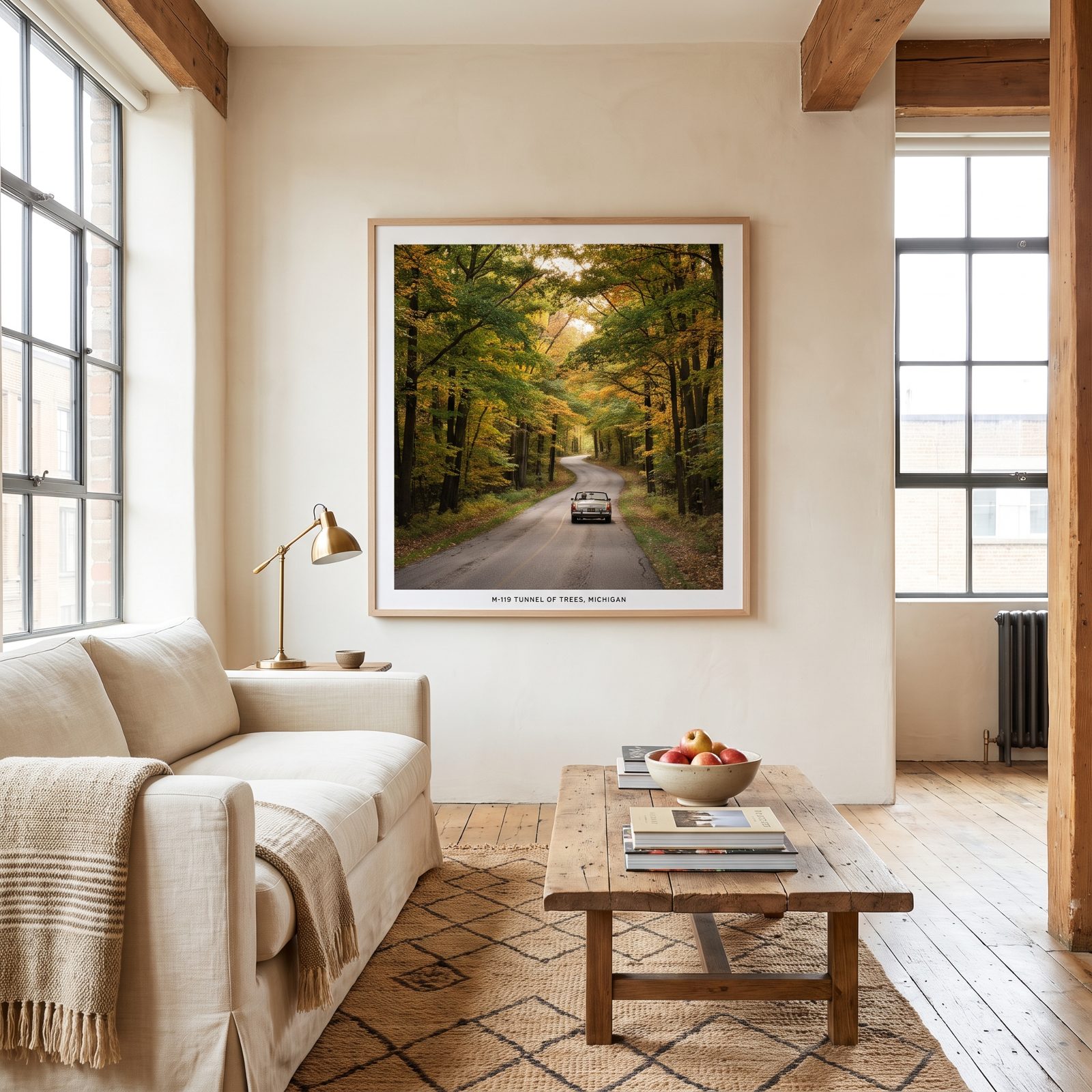
No center line, often no shoulder. That’s deliberate. M-119 runs about 20 miles from Harbor Springs to Cross Village, and the trees lean in so close over the pavement that the whole road feels like a green hallway.
Drive it slow. Twenty-five miles an hour is plenty, and anything faster means you’ll miss the Lake Michigan flashes through gaps on the west side.
Finish at Legs Inn in Cross Village, a stone-and-driftwood roadhouse a Polish immigrant built back in the 1920s, and order the pierogi. Weird building. Great food.
17. Flint Hills National Scenic Byway Across the Kansas Tallgrass Prairie
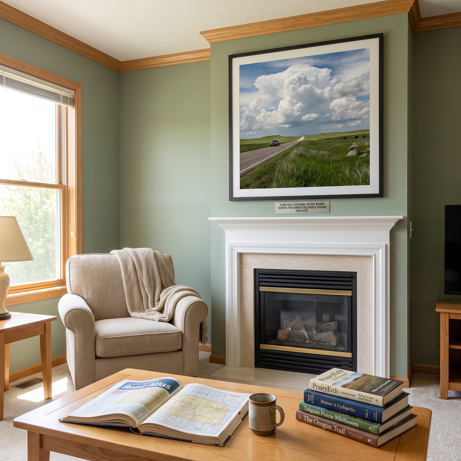
This is the last big piece of tallgrass prairie left in America. Most of it got plowed under a century ago. The Flint Hills survived because the limestone sits close to the surface and broke too many plows, so ranchers ran cattle instead.
K-177 between Council Grove and Cassoday is the heart of it — roughly 40 miles of rolling grass and sky, almost no fences on the horizon.
People expect boring and get the opposite. Out here the sky does the work the mountains do elsewhere. Stop at the Tallgrass Prairie National Preserve north of Strong City and walk out into grass that stood taller than a man before settlement.
16. Talimena Scenic Drive Through Oklahoma and Arkansas
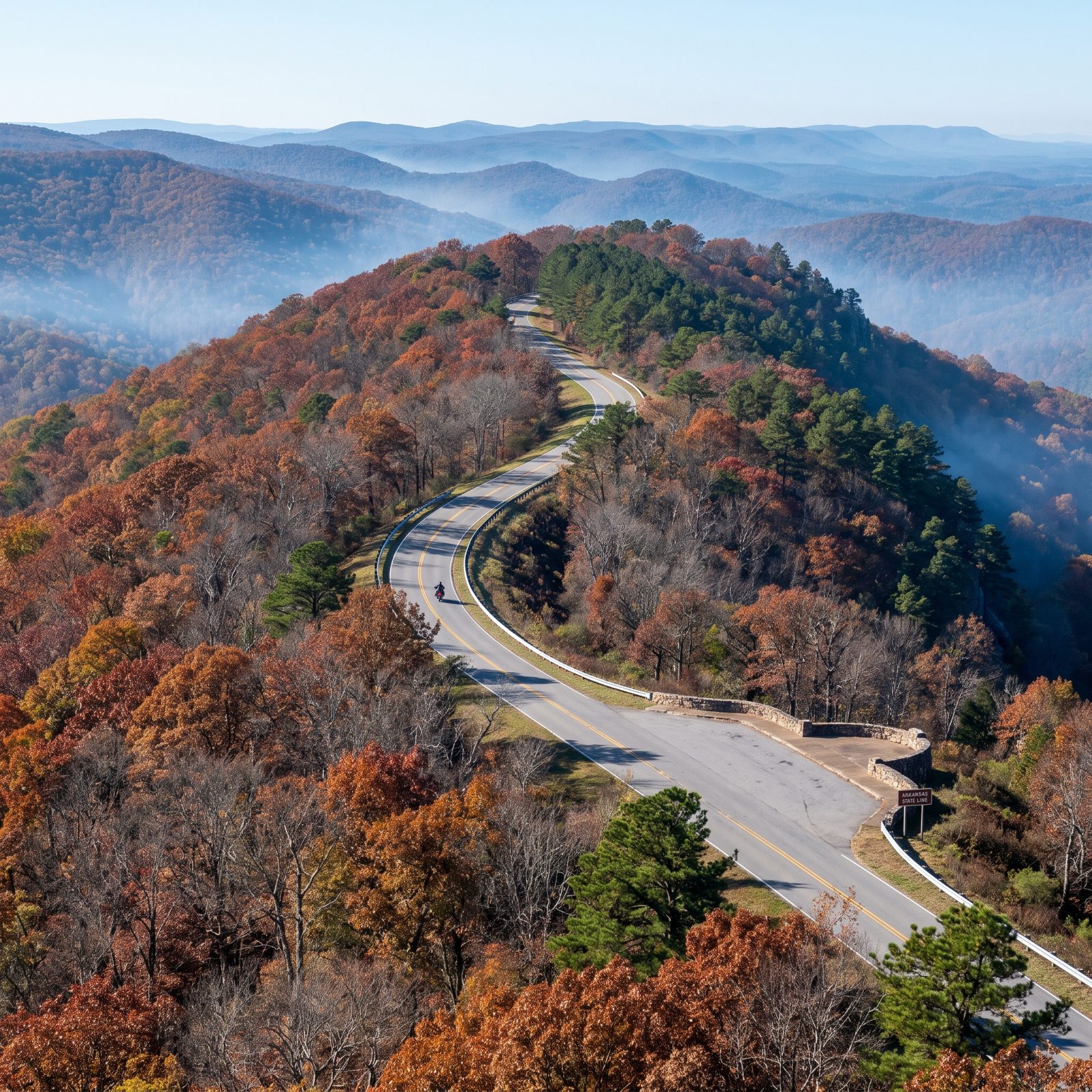
Most ridgetop drives give you a valley on one side. This one gives you both. The Talimena runs 54 miles along the crest of Rich Mountain and Winding Stair Mountain, from Talihina, Oklahoma, to Mena, Arkansas, and the land falls away on either hand.
There’s no commerce up here. No gas, no burger stands, just overlook after overlook. Fill the tank before you climb.
Go the first two weeks of November for the oak-hickory turn. The Ouachitas run east-west, which is rare for North American ranges, so the light rakes across the slopes in ways you won’t see elsewhere.
15. Natchez Trace Parkway From Mississippi to Tennessee
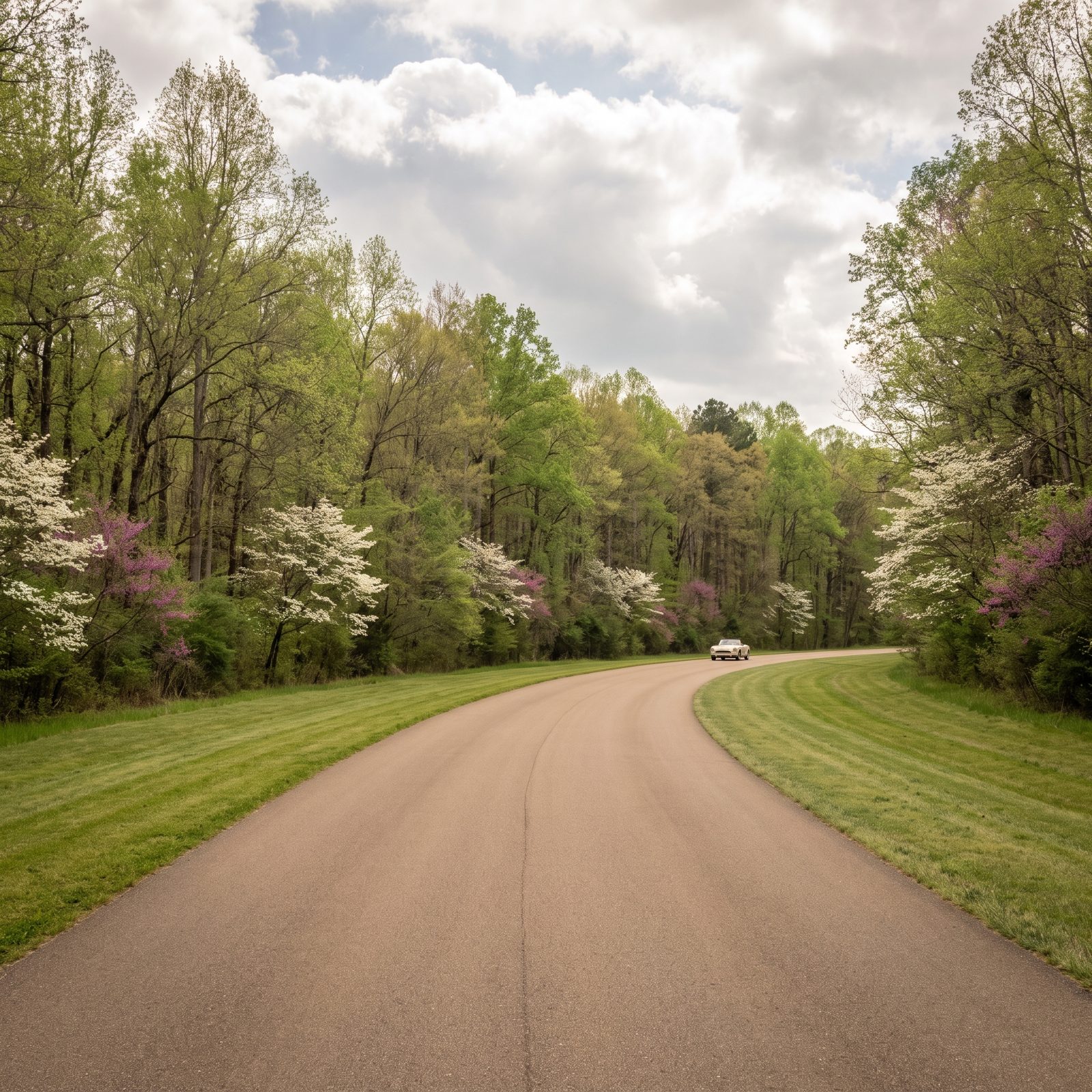
No trucks. No billboards. No stoplights for 444 miles. The Natchez Trace Parkway follows an old footpath that Choctaw, Chickasaw, boatmen, and soldiers wore into the ground centuries before pavement, and the Park Service kept it clean of everything commercial.
Speed limit tops out at 50, and that’s the right pace. You’re not here to make time.
Pull off at Emerald Mound near Natchez, one of the largest Native American ceremonial mounds in the country. Then the sunken sections of the original trace near Tupelo, where generations of feet and hooves cut the trail well below the surrounding ground.
14. Newfound Gap Road Across Great Smoky Mountains National Park
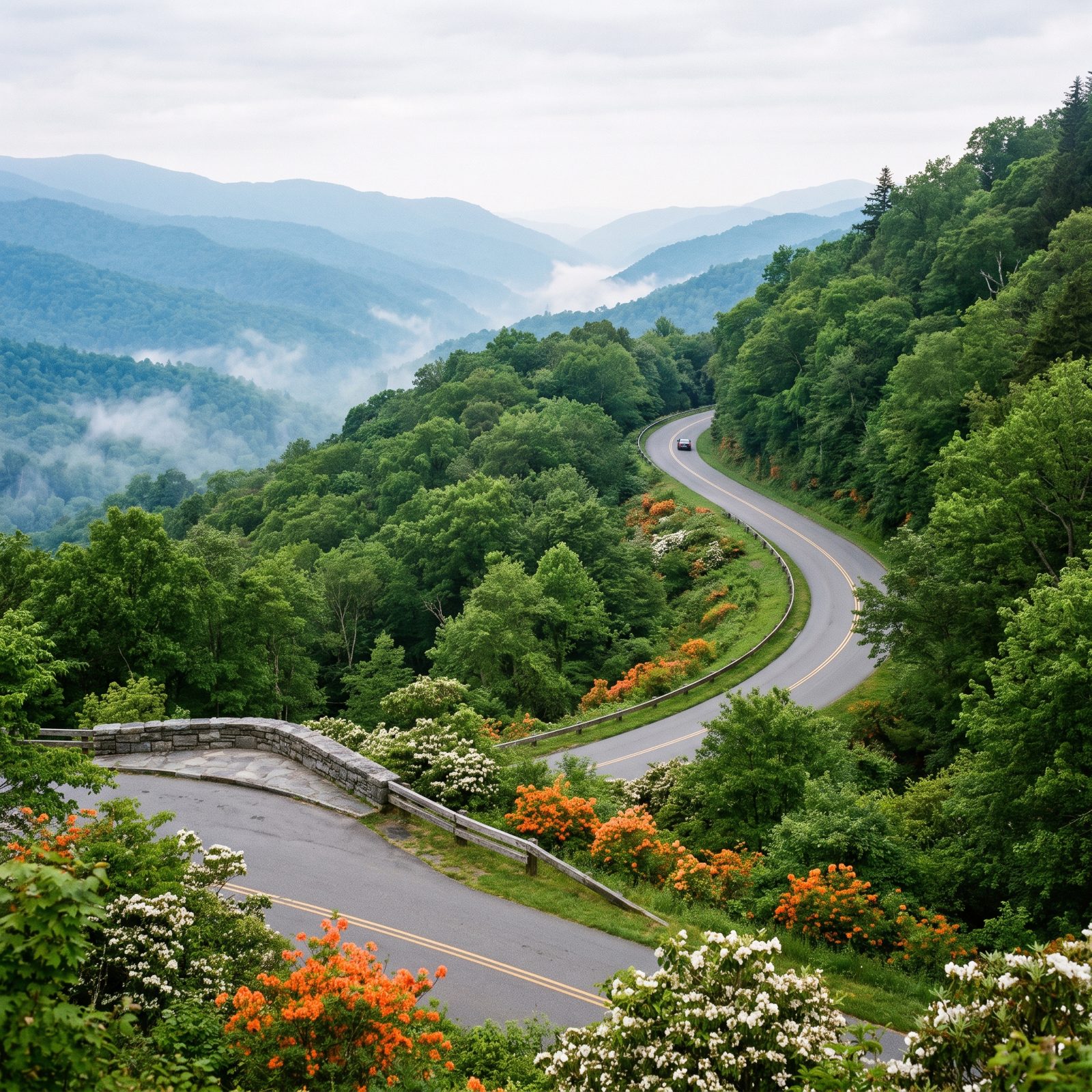
This is the only road that crosses the whole park, and it’s free. Great Smoky Mountains charges no entrance fee, which makes Newfound Gap Road a 31-mile climb through the most-visited national park in the country without a tollbooth in sight.
You start in oak forest and end, 5,000 feet up at the gap, in spruce-fir that feels like Canada. Roughly the ecological change you’d get driving from Georgia to Maine, compressed into half an hour.
Go on a weekday in May or late September. Summer weekends turn Clingmans Dome into a parking lot, and nobody comes to the Smokies to sit in a line of brake lights.
13. Cherohala Skyway Through Tennessee and North Carolina
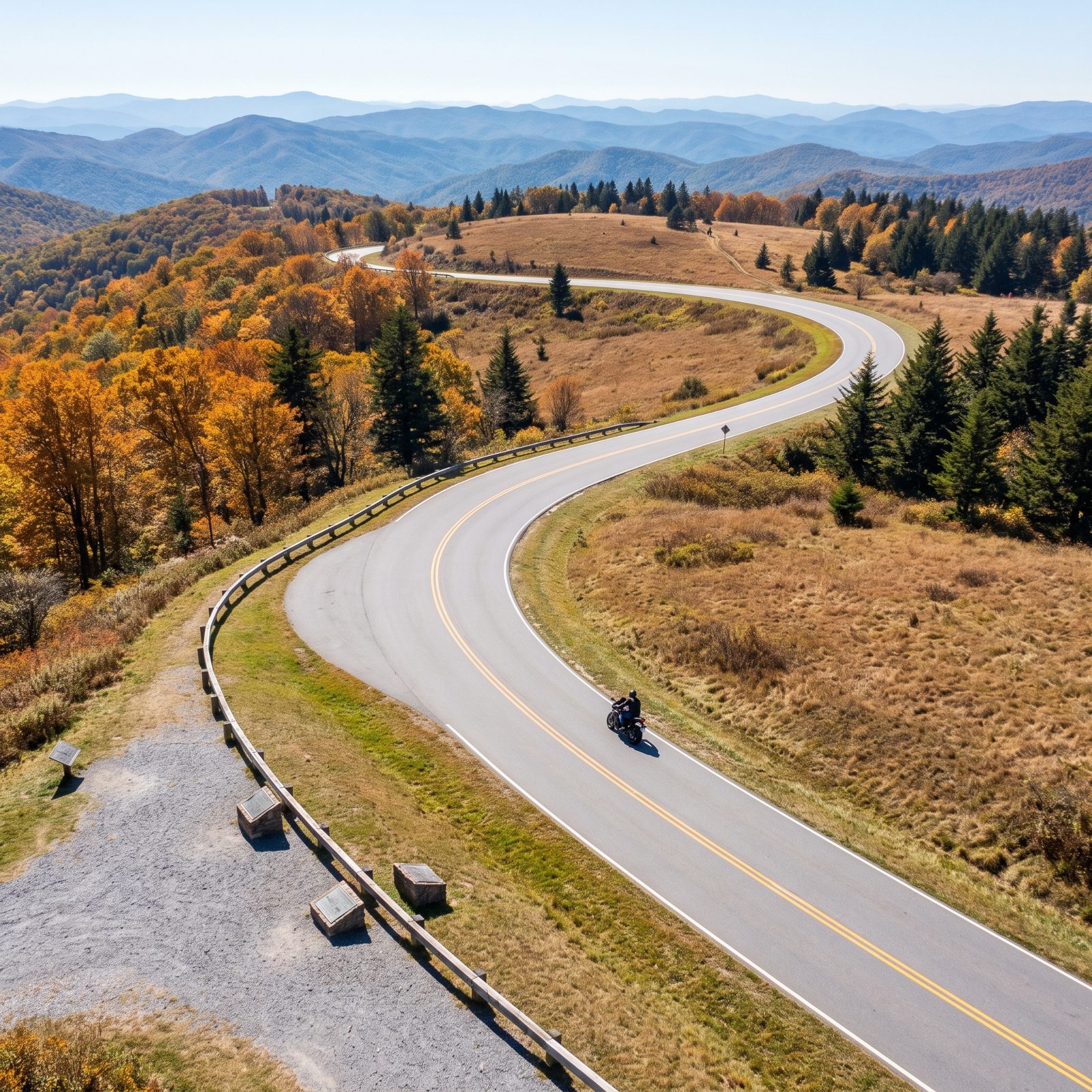
Riders talk about the Dragon. The locals drive the Cherohala. Just south of the famous 318-curve stretch of US-129, this 43-mile skyway between Tellico Plains, Tennessee, and Robbinsville, North Carolina, hands you the same mountain air with long sweeping curves instead of white-knuckle switchbacks.
It climbs above 5,000 feet, so bring a jacket even in July — the top can run 15 degrees cooler than the valley floor.
It opened in 1996 after a build that cost a fortune, and almost nobody’s on it. That emptiness is exactly why it beats its louder neighbor.
12. Vermont Route 100 Through the Green Mountains
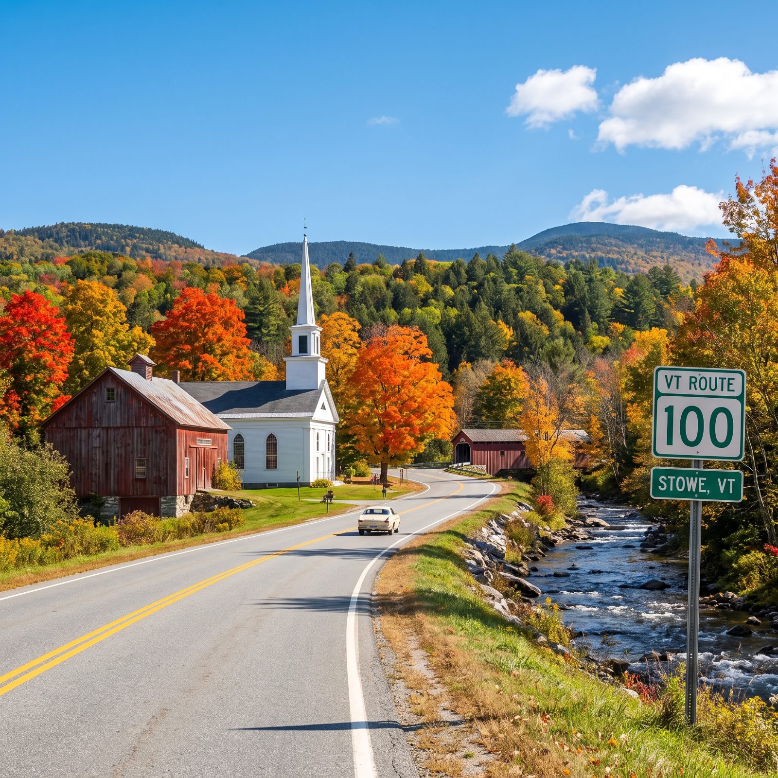
If leaf-peeping were a highway, it’d be Route 100. The road threads the eastern edge of the Green Mountains for about 200 miles, stitching together covered bridges, white-steepled towns, and ski valleys from Massachusetts nearly to Canada.
Here’s what people get wrong: they come the first week of October and fight the crowds. Color moves south over about three weeks, so the north half near Stowe often turns a touch earlier than the south.
Stop in Waterbury. The old Ben and Jerry’s factory still runs tours, and there’s a cider mill up the road pressing the real stuff.
11. Outer Banks National Scenic Byway Along North Carolina’s Barrier Islands
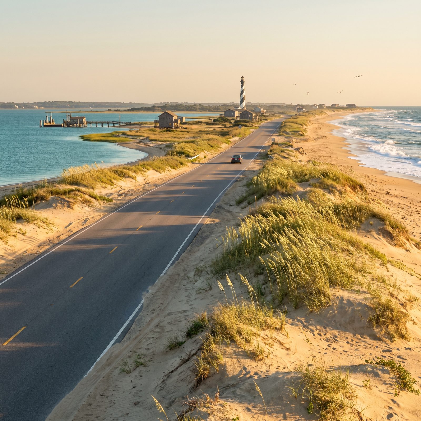
Part of this drive floats. The Outer Banks Byway runs roughly 140 miles and includes free state ferries across Hatteras Inlet and down to Ocracoke, so your road trip comes with a boat ride whether you planned one or not.
The Cape Hatteras lighthouse, that black-and-white barber pole, got physically dragged inland in 1999 because the ocean was eating the ground out from under it. Climb it if your knees allow.
Ocracoke Island has one village, wild ponies, and a harbor that glows at dusk. You can only reach it by ferry. That’s the whole appeal.
10. Enchanted Circle Scenic Byway Around Wheeler Peak, New Mexico
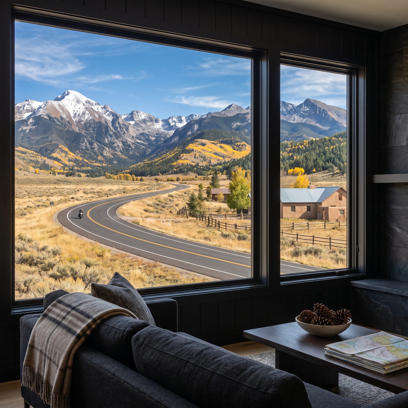
This is a drive where you might see snow on the peaks and cactus at the trailhead on the same afternoon. The Enchanted Circle is an 83-mile loop out of Taos, wrapping around Wheeler Peak, New Mexico’s highest at 13,161 feet.
You climb over two passes above 9,000 feet. The air thins, the aspens go gold in late September, and the loop threads through old mining towns and Red River’s ski-village main drag.
Give yourself a full day even though you could rush it in three hours. Taos Pueblo has been lived in continuously for more than a thousand years, and the Rio Grande Gorge Bridge drops hundreds of feet to the river below. Neither deserves a drive-by.
9. Catalina Highway From Tucson to Mount Lemmon, Arizona
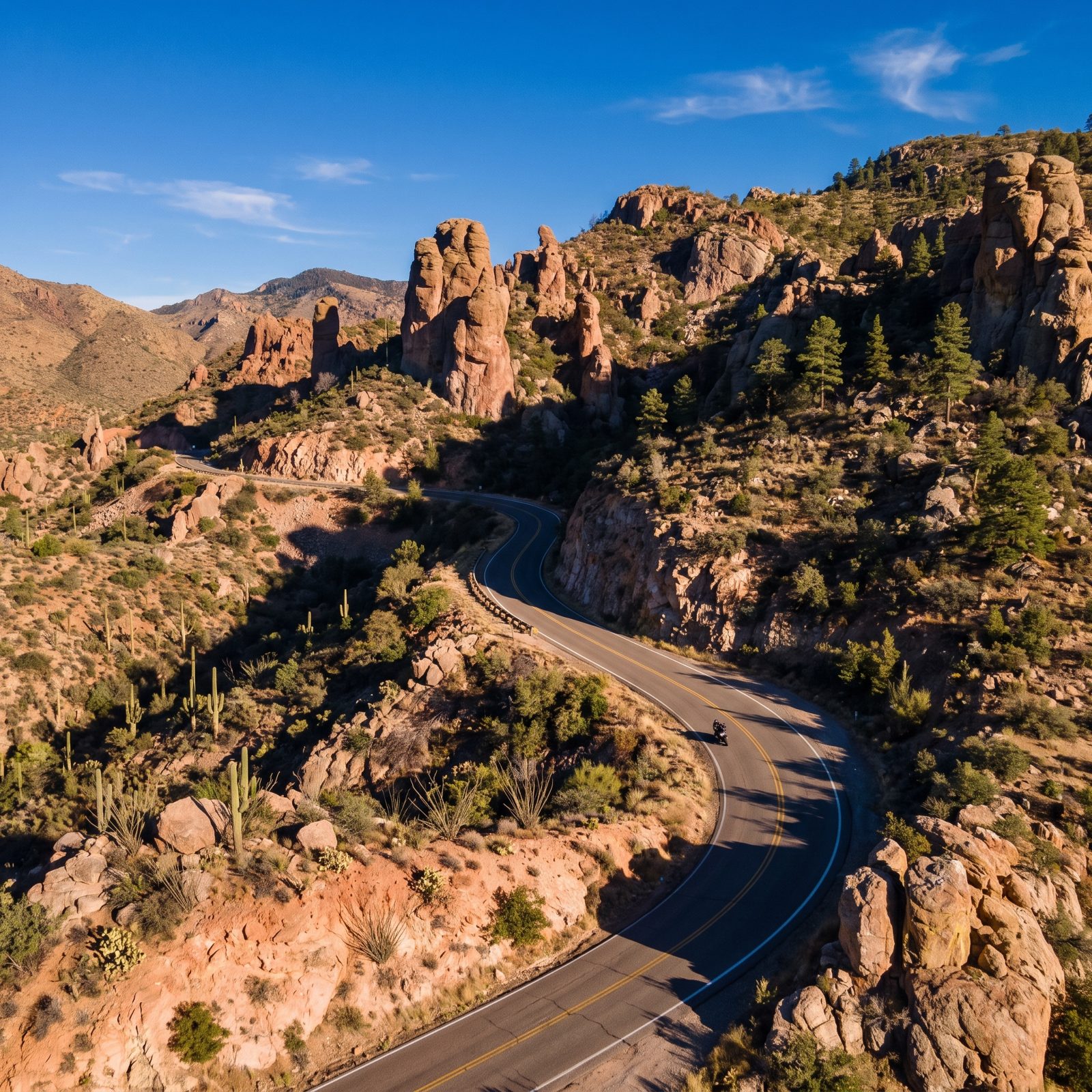
You can leave a saguaro forest at breakfast and reach a ponderosa pine stand with patches of old snow by lunch. The Catalina Highway climbs almost 6,000 feet in roughly 25 miles, and the whole ecosystem rolls past under your tires like you drove from Mexico to Canada without ever crossing a border.
Bikers love this one, and no wonder. The switchbacks above Windy Point Vista are tight and clean, with pull-offs cut right into the granite so you can stop and stare without holding up traffic. Go early. By mid-morning on a weekend the top lot fills, and little Summerhaven near the summit has barely any parking to spare.
8. Oak Creek Canyon Drive Between Sedona and Flagstaff, Arizona
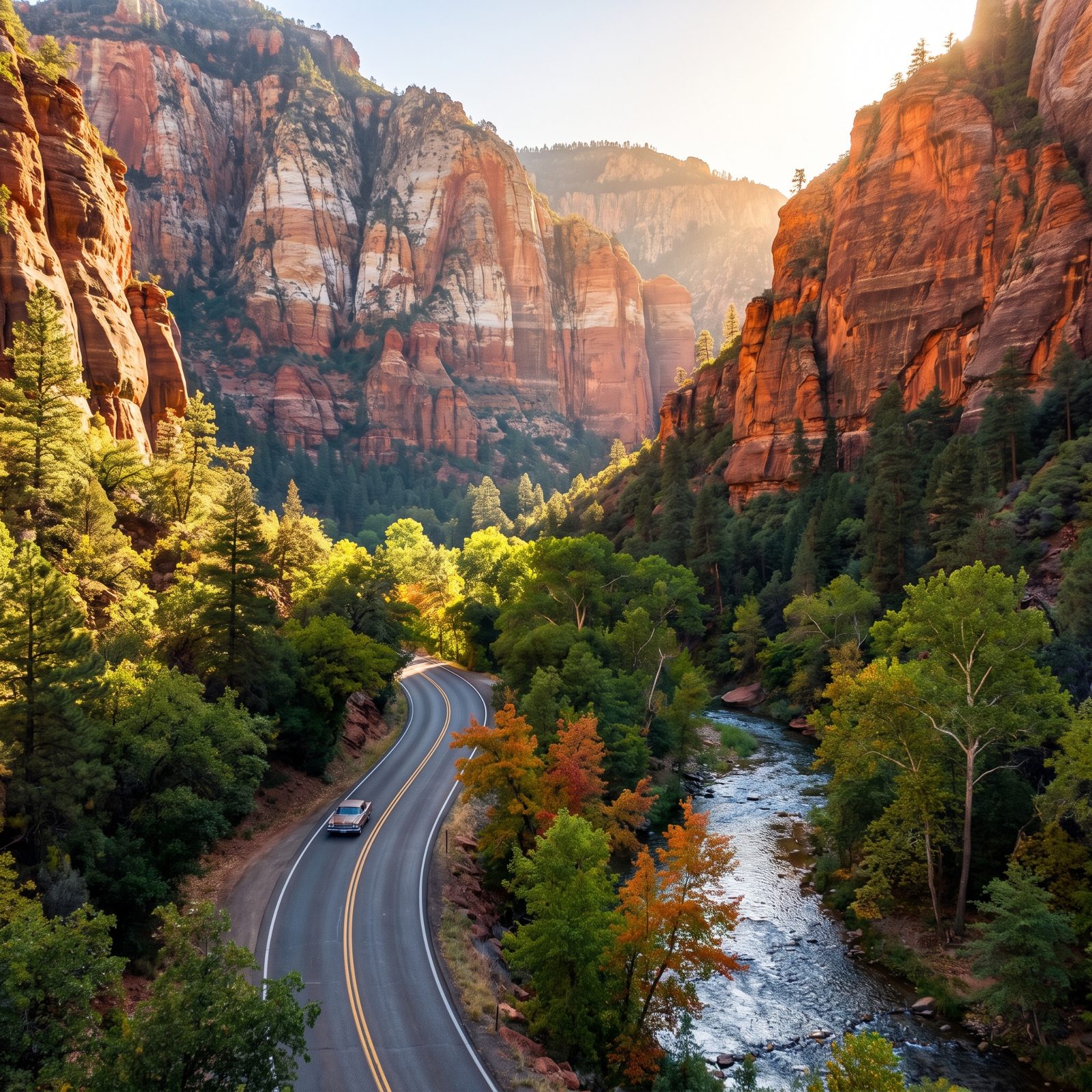
This is a slow road, and it should be. Fourteen miles of 89A drop you between red rock walls and a creek lined with sycamores, and the switchbacks near the Oak Creek Canyon Overlook on the north end are genuinely steep.
Fall is the draw. Maples and oaks turn the canyon floor gold and red around mid-to-late October, though it swings year to year, and weekend traffic backs up badly once the color peaks. Drive it on a weekday morning. Or point your wheels north out of Sedona before the Flagstaff crowd comes pouring down the hill looking for the same thing you are.
7. Valley of Fire Road Through Nevada’s Red Rock Desert
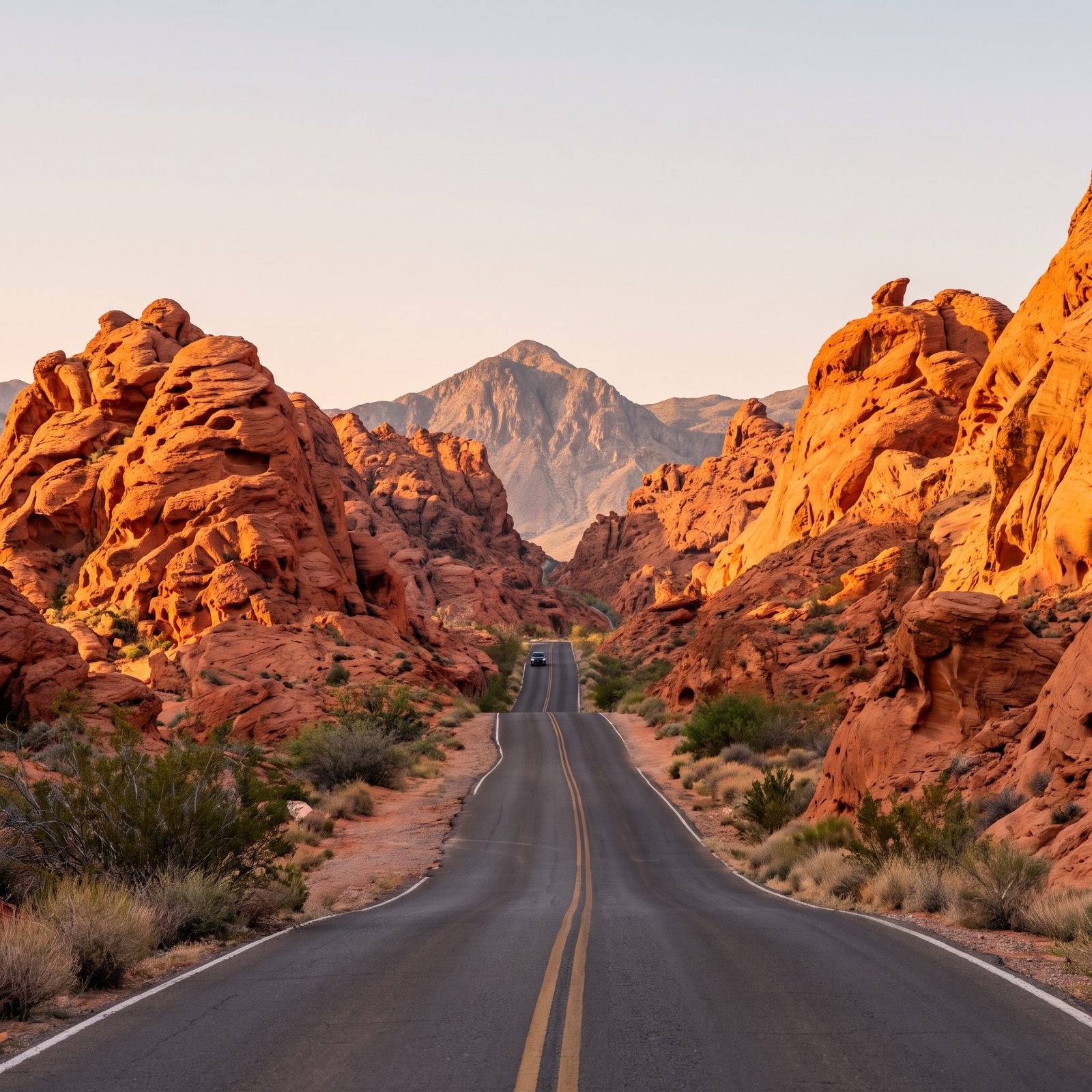
The rock here looks like it’s still cooling. Valley of Fire’s Aztec sandstone goes so red at dawn and dusk that your photographs come back looking faked, and the main park road runs straight through the heart of it for about ten miles.
Don’t skip the spur up to the Fire Wave and Rainbow Vista. But a warning nobody gives you until it’s too late: this place is a furnace. Summer surface temps crack well past 110, and the park has closed trails outright during heat emergencies. Spring and late fall are the honest seasons for this drive.
6. Capitol Reef Scenic Drive Through Utah’s Waterpocket Fold
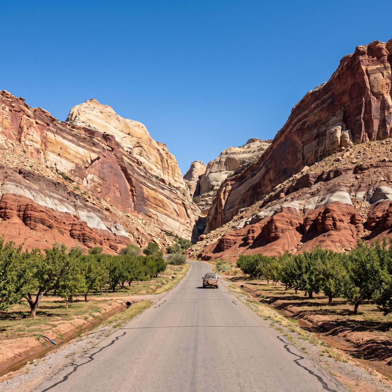
Most people blow past Capitol Reef on their way to Zion or Bryce. Their loss. The scenic drive is short, maybe eight miles paved, but it runs along the Waterpocket Fold, a 100-mile wrinkle in the earth’s crust that stacks rock layers like a cut cake.
Stop at the Fruita historic district. Mormon settlers planted orchards here in the 1880s, and the park still tends them. In season you can pick cherries, apples, and apricots for a small fee, right in the middle of red rock country. There’s a fee station for the scenic drive stretch too, so keep your park pass handy.
5. Creole Nature Trail Through Louisiana’s Coastal Wetlands
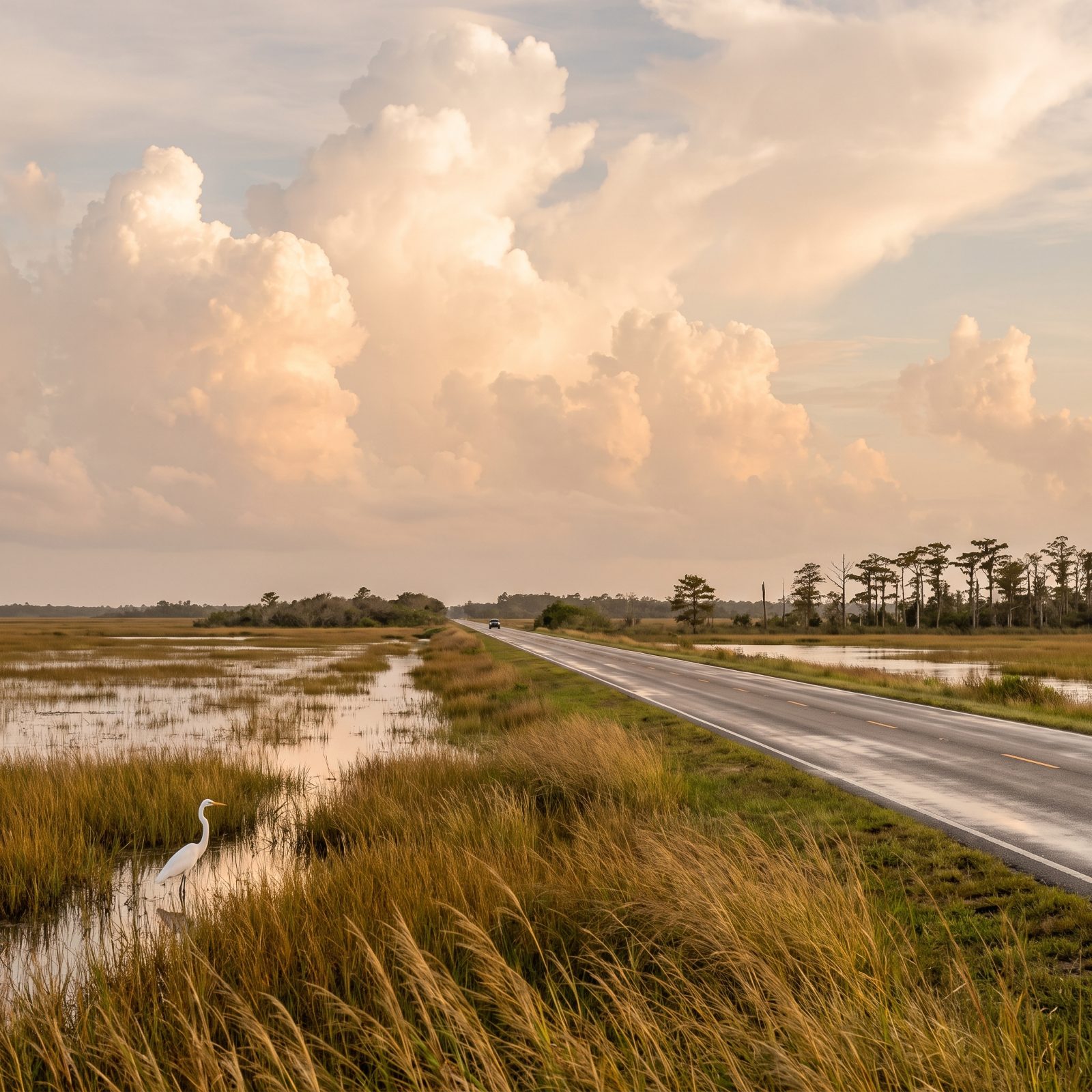
Flat, wet, and alive. The Creole Nature Trail is a designated All-American Road looping roughly 180 miles through the marshes of southwest Louisiana, and it’s the odd one out on this list because the spectacle here isn’t elevation at all. It’s birds and gators.
Few places on the continent beat this for birding. During spring migration the marshes fill with neotropical songbirds dropping in exhausted after crossing the Gulf. Bring binoculars and bug spray — the second in quantities you’ll swear are absurd until the no-see-ums find you and change your mind. Boardwalks at Pintail Wildlife Drive and Sabine National Wildlife Refuge get you out over the water without soaking your boots.
4. River Road Through Big Bend Ranch State Park, Texas
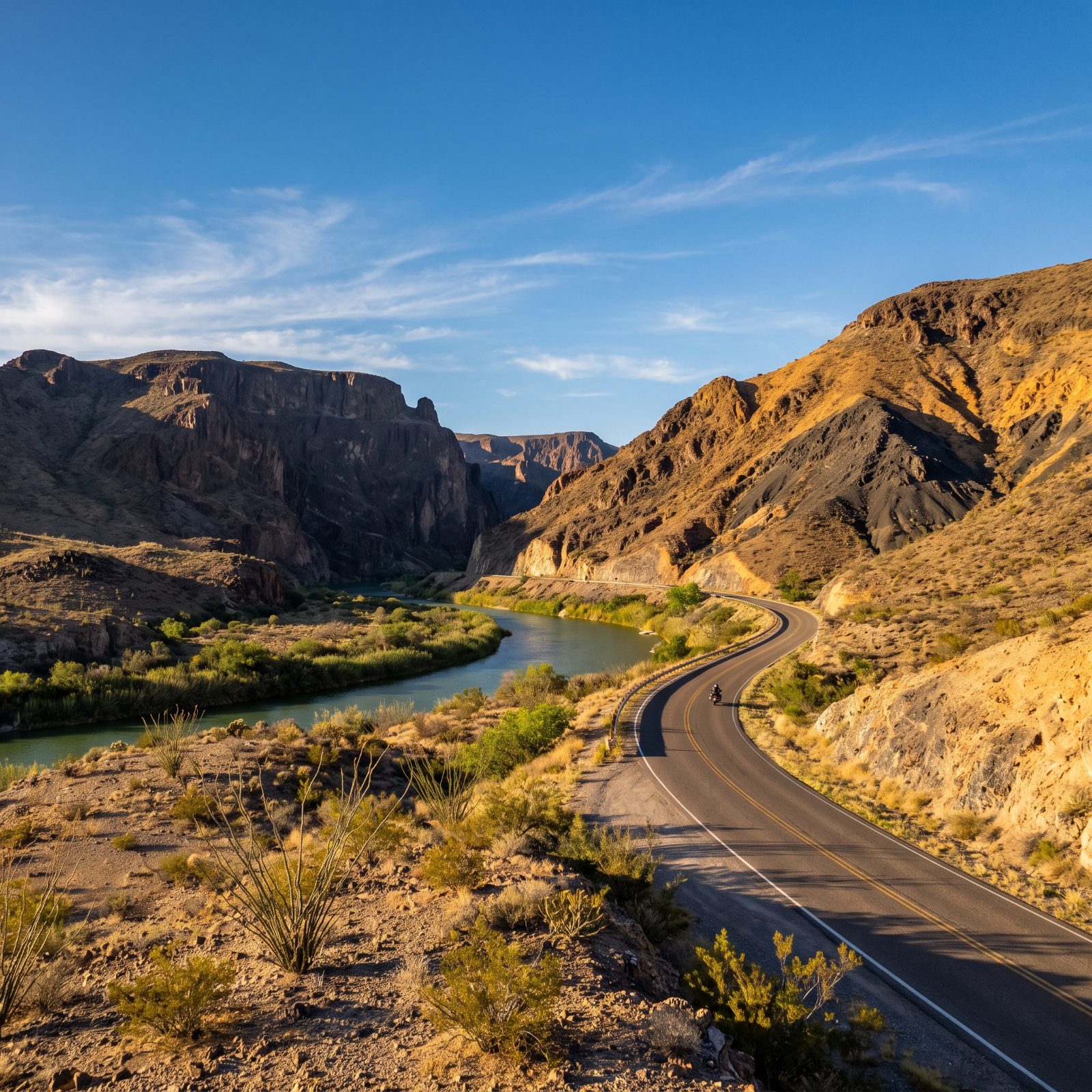
The sign at the steepest grade on FM 170 reads 15 percent. That is not a typo. The River Road runs 50 miles along the Rio Grande between Presidio and Lajitas, and it’s one of the most dramatic, least-traveled desert drives left in the lower 48.
River on one side, raw volcanic hills on the other, Mexico close enough to see the goats on the far bank. Fuel up before you start. Cell service out here is a rumor, and the nearest gas can be a long, long way off. Pull in at the Hoodoos picnic area to walk among the mushroom-shaped rock formations right at the water’s edge.
3. Park Loop Road Through Acadia National Park, Maine
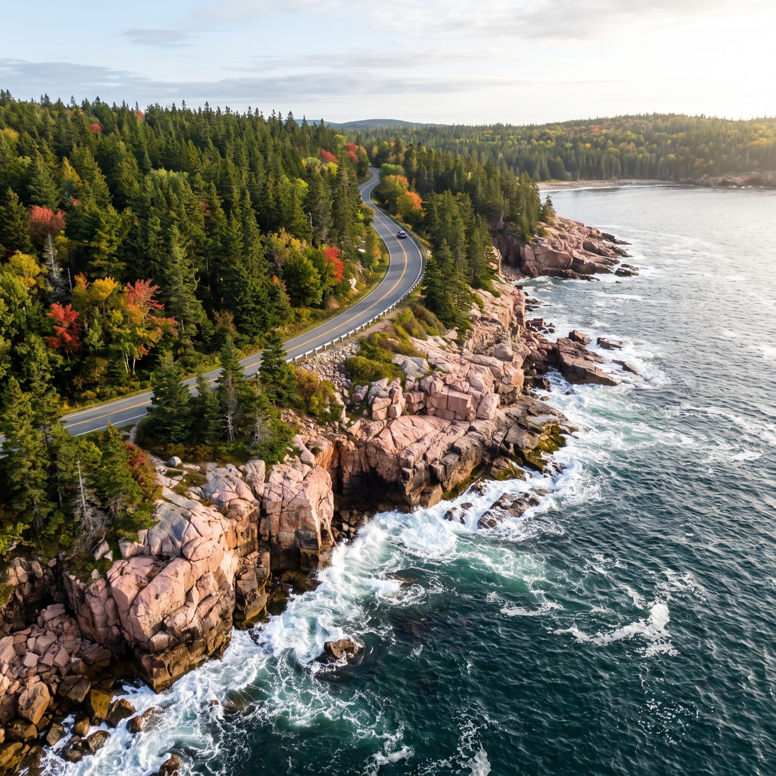
Pink granite meeting the North Atlantic. That’s the signature of Acadia, and the 27-mile Park Loop Road threads right along it, past Thunder Hole, Sand Beach, and the carriage-road overlooks.
Most of the loop is one-way, which keeps traffic flowing and lets you pull onto the right shoulder almost anywhere to park and scramble down to the rocks. Time Thunder Hole for an incoming tide, roughly two hours before high. That’s when the surf slams the chamber and booms like a cannon. Show up at dead calm or low tide and it’s nothing but a wet crevice, which disappoints a lot of folks who arrived at the wrong hour and assumed the postcard was lying.
2. Beartooth Highway From Red Lodge to Yellowstone, Montana and Wyoming
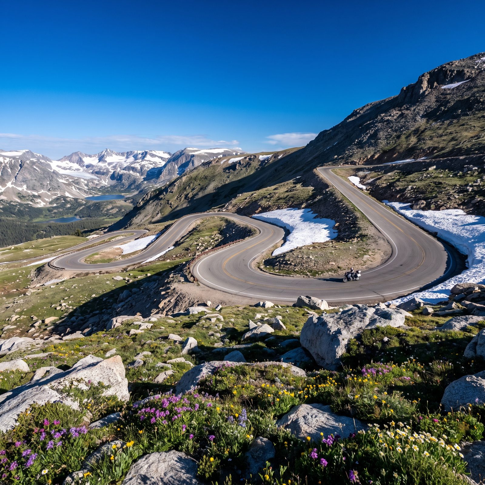
Charles Kuralt called it the most beautiful drive in America, and he’d seen the competition. The Beartooth Highway climbs to Beartooth Pass at 10,947 feet, crossing switchbacks that stack up a treeless alpine shelf where snow hangs on into July.
Here’s what trips people up. This road closes. Heavy snow typically shuts it from mid-October until late May, and it can slam shut in summer for a passing storm, because weather at 11,000 feet doesn’t care what the calendar says. Check the status before you commit. When it’s open, the run from Red Lodge over the top and down to the Yellowstone northeast entrance ranks among the great mountain rides anywhere on earth.
1. Going-to-the-Sun Road Through Glacier National Park, Montana
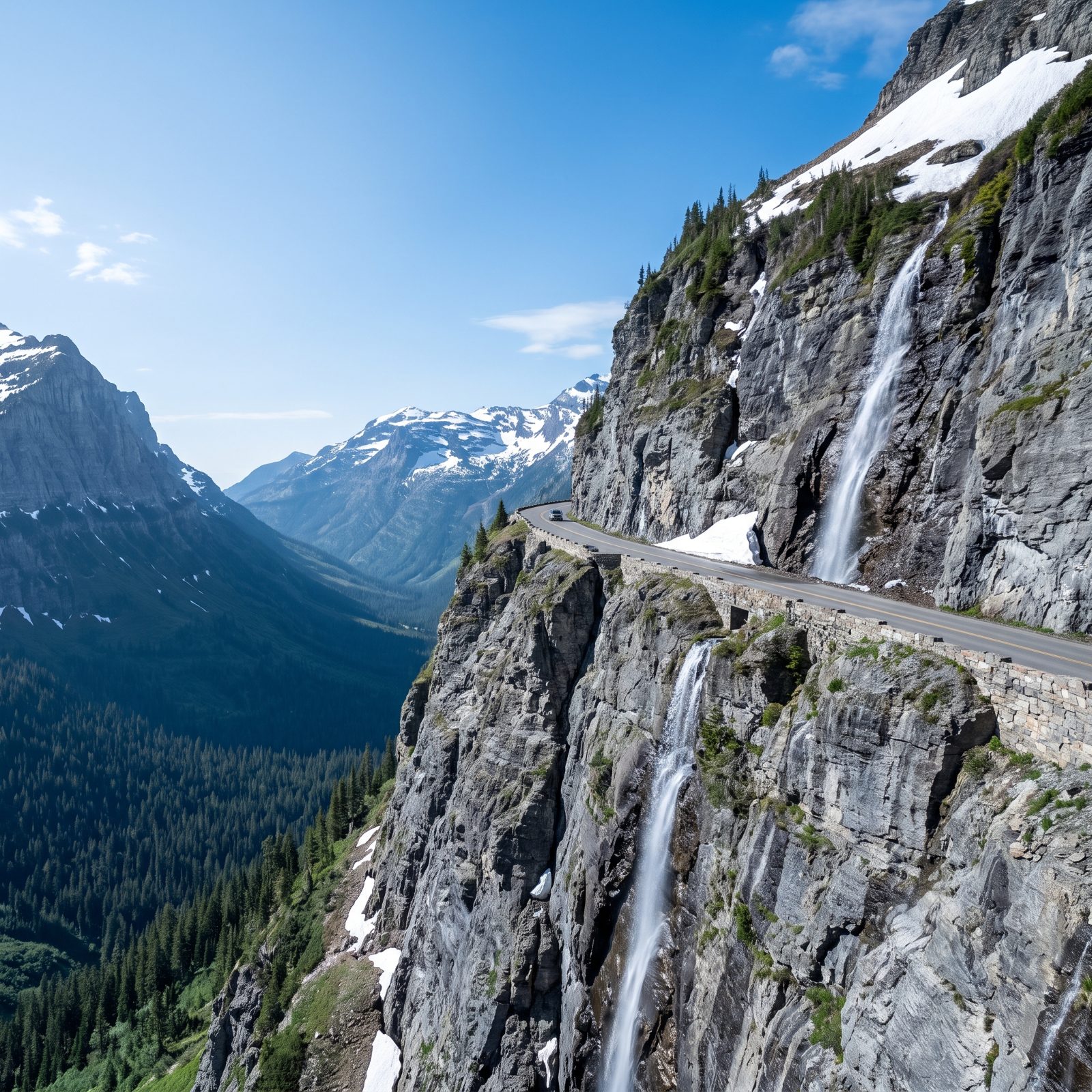
Fifty miles of road carved into cliffs, crossing the Continental Divide at Logan Pass. Going-to-the-Sun is the one every list ends on, and it earns the spot.
The catch is access. The full road opens for only a short window, usually late June or July through mid-October, depending entirely on how long the plows take to clear snow off the high sections. Glacier also runs a vehicle reservation system in peak season now, so you can’t just roll up to the gate and drive through. Check the park site before you go.
One more thing. Vehicles over 21 feet long or 8 feet wide aren’t allowed on the alpine stretch between Avalanche Creek and Rising Sun, which rules out most RVs. Towing a big rig? Leave it at the campground and take the free shuttle, or a smaller vehicle, up top.